Alaska - Patagonia
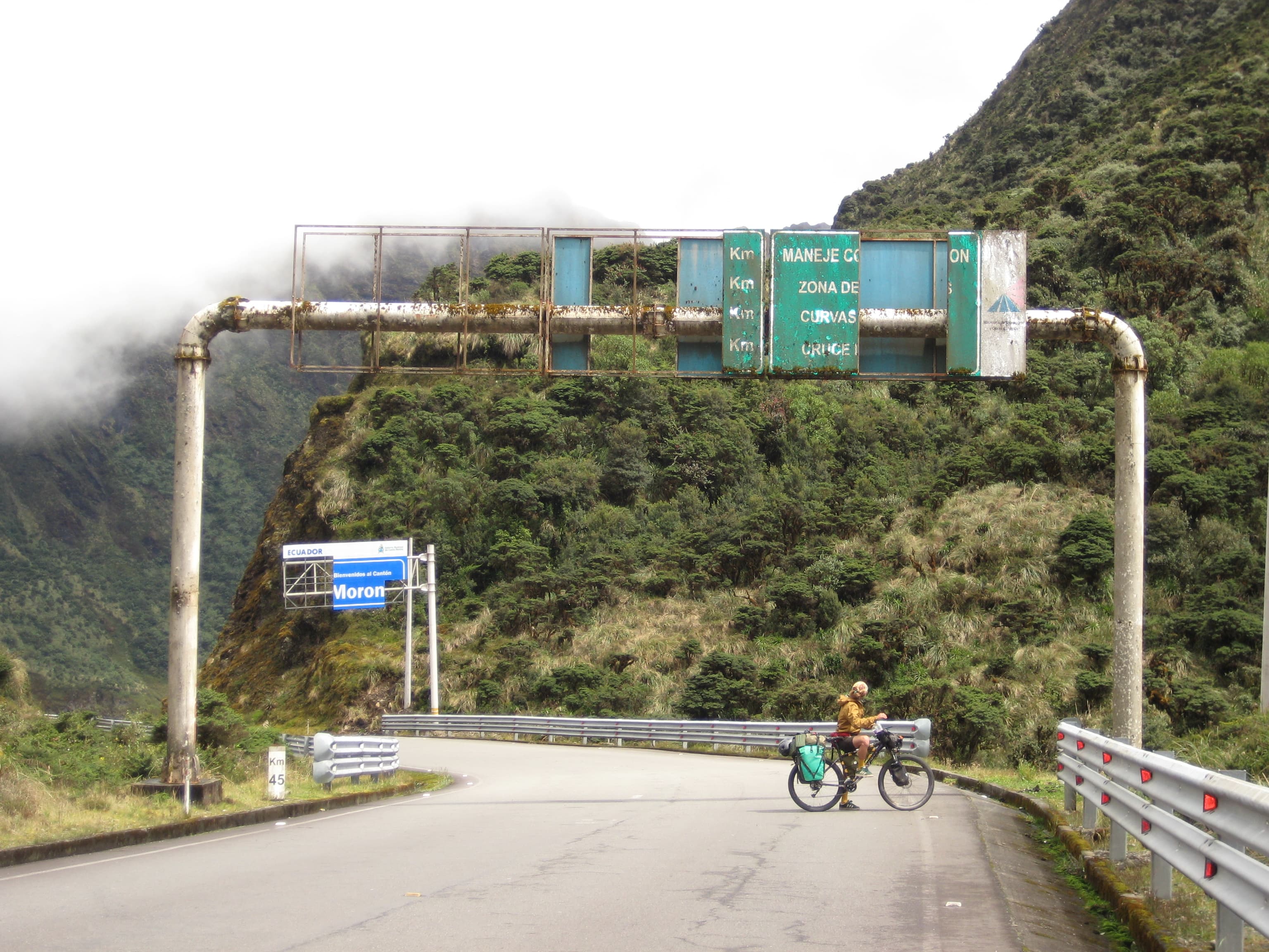
In May 2022 I flew to Alaska intending to reach Patagonia. I assumed the journey would take me about 12 months. I slightly underestimated it — in the end the whole thing took 3 years.
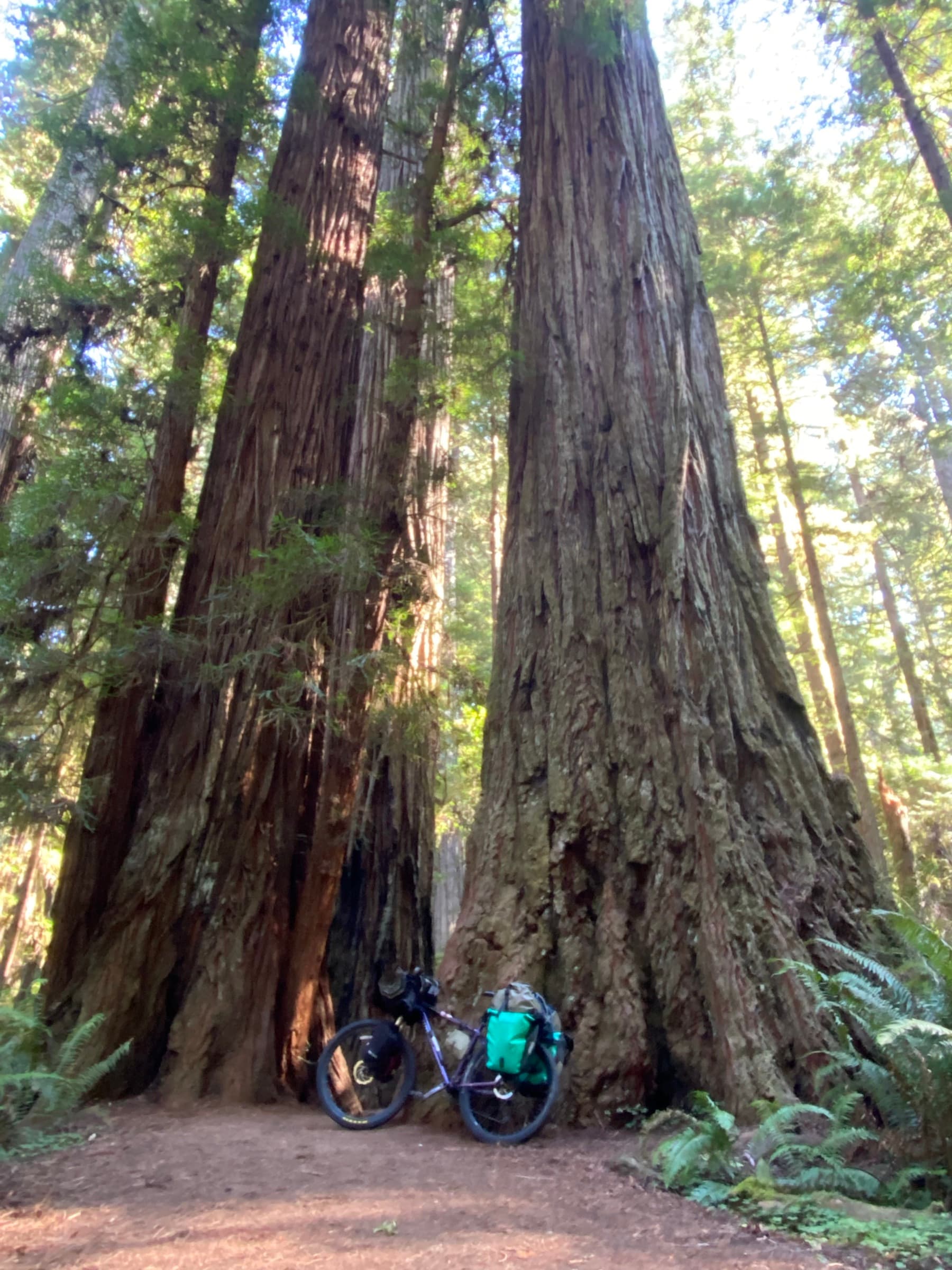
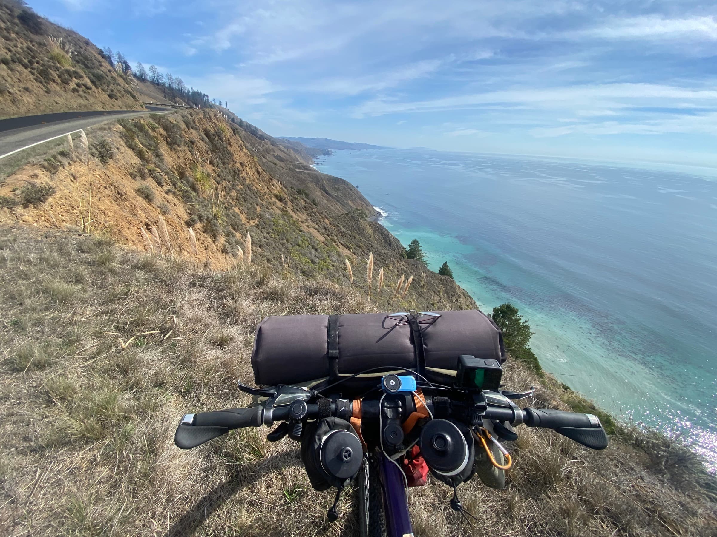
I rode a total of 33,000 km through 18 countries. I spent six months in the USA and Canada, and all the rest in the countries of Latin America.
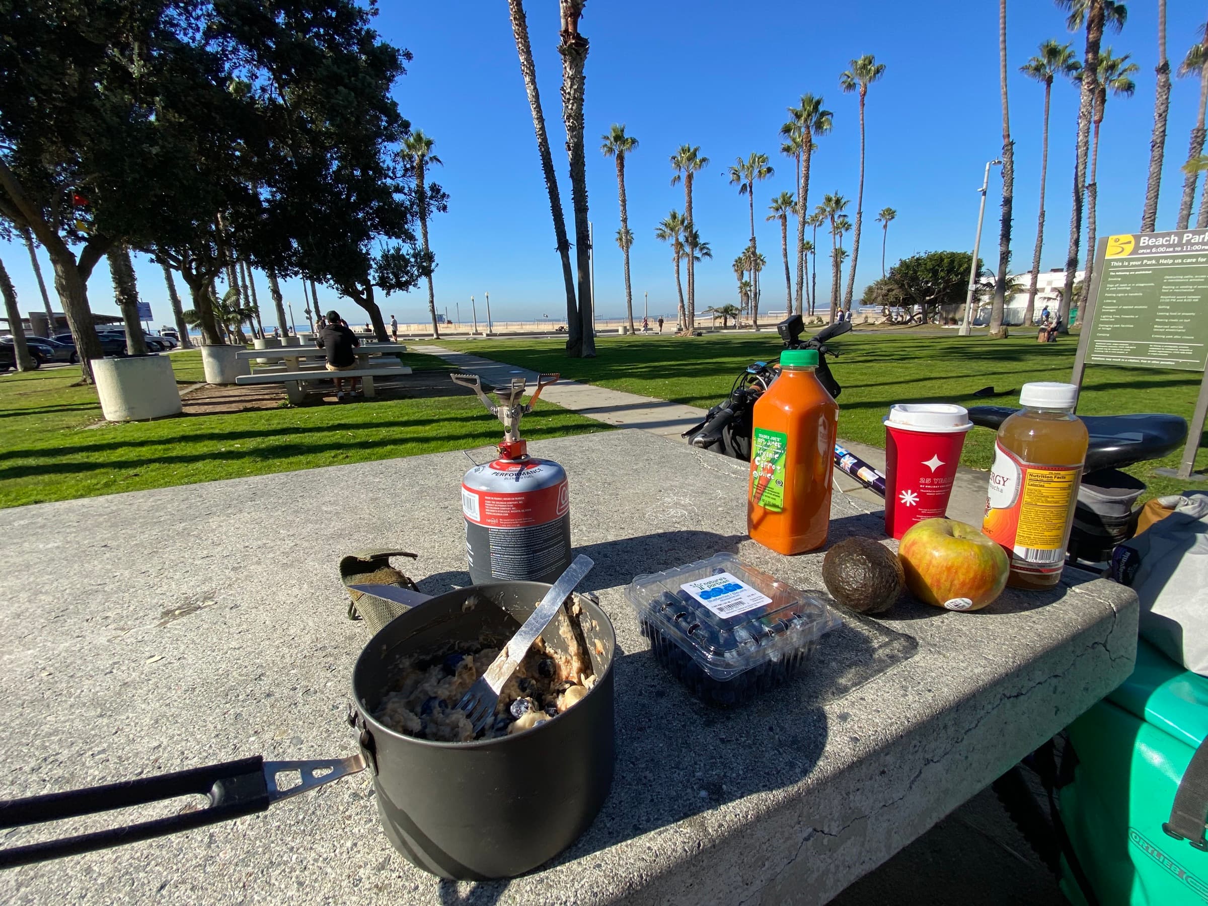
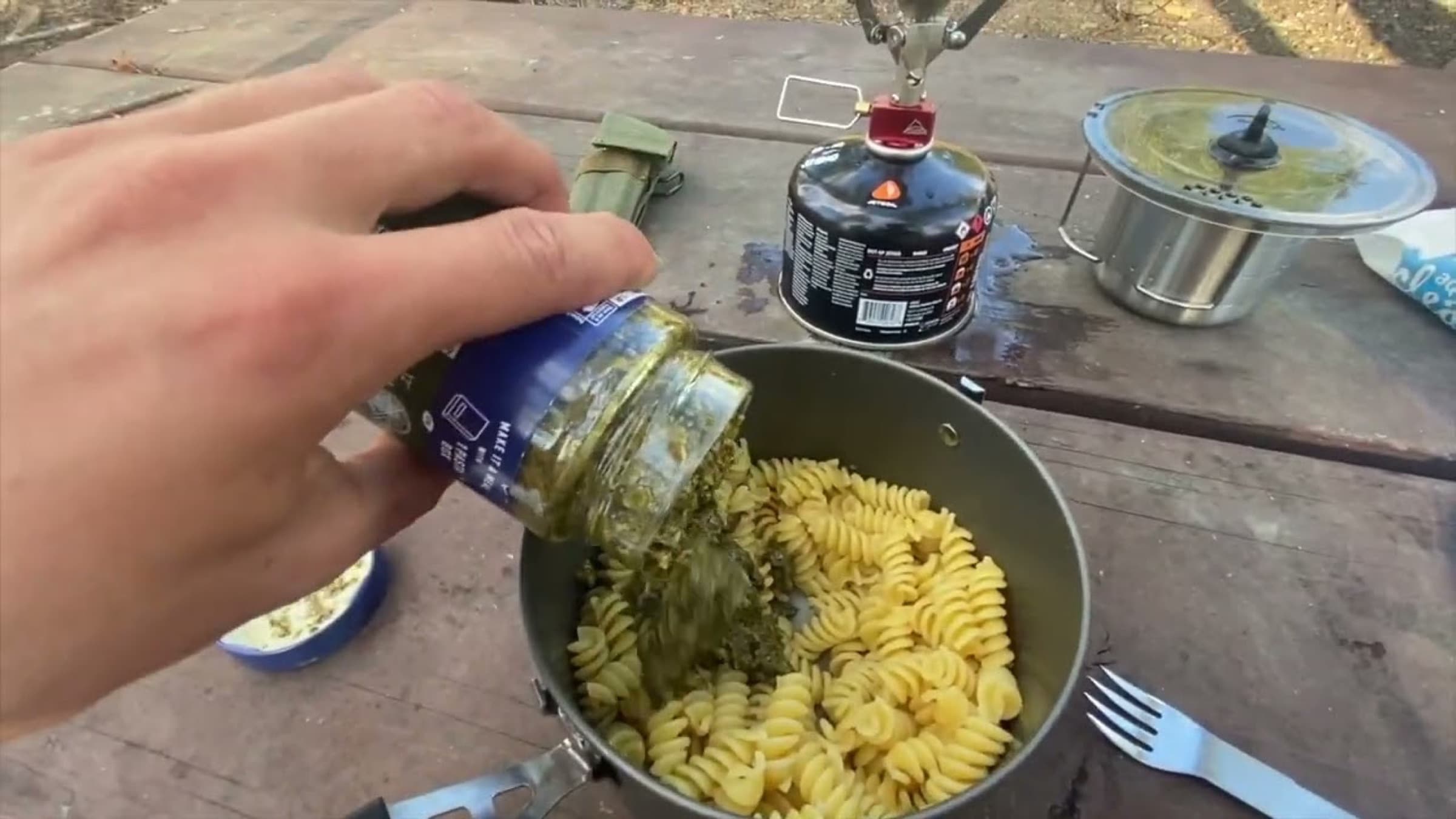
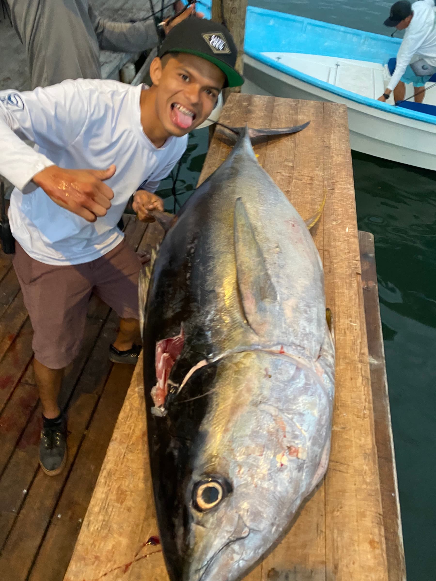
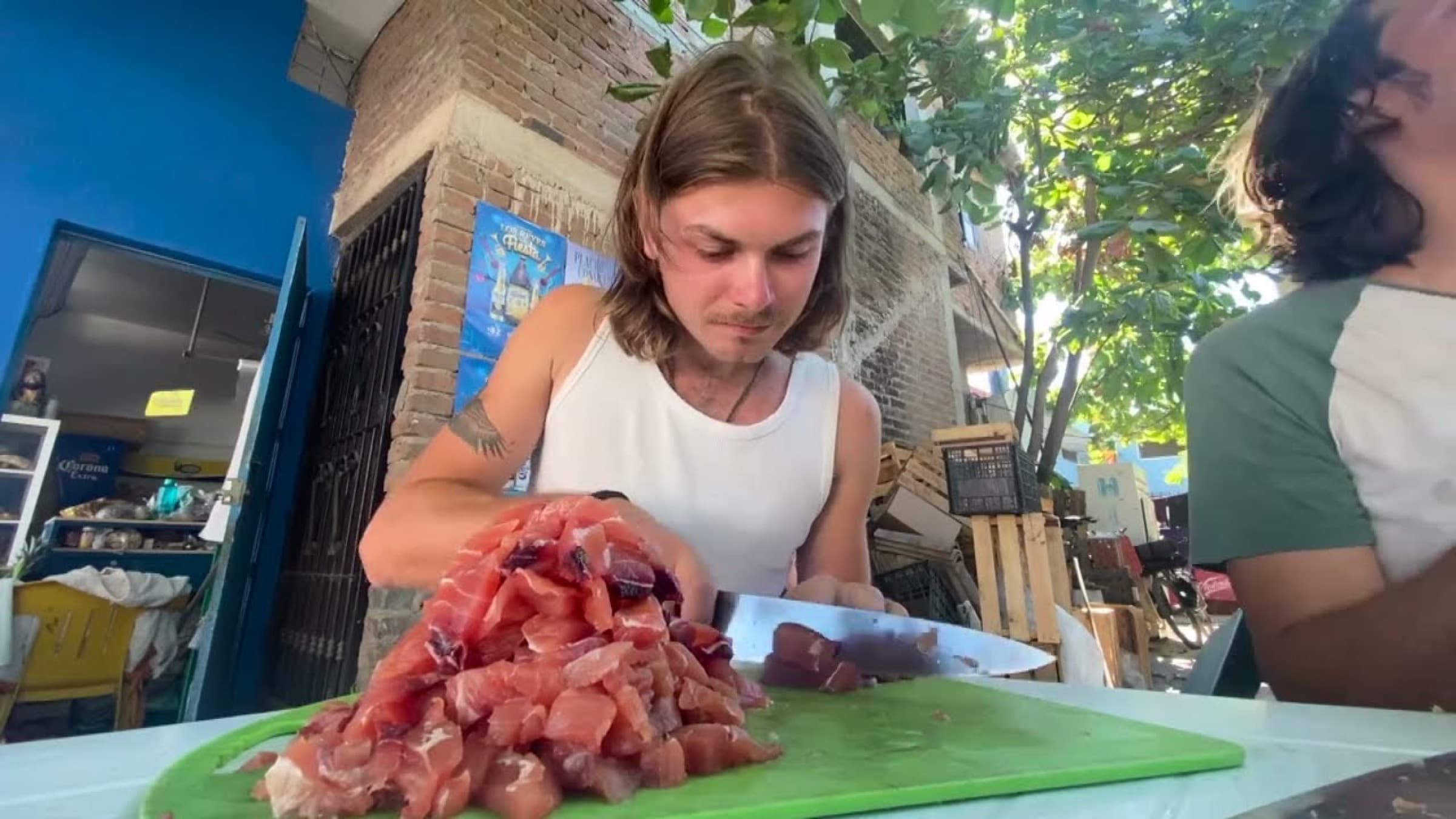
From the beginning the plan was to find work as I went. First I worked on fruit harvests in Canada, later I did all sorts of gardening and renovation jobs in the USA. Then, already in Mexico, I met Mexican friends I had got to know earlier while working in Canada. They took me in as a member of the family, helped me find work in a restaurant, and even lent me a scooter so I had something to commute on.
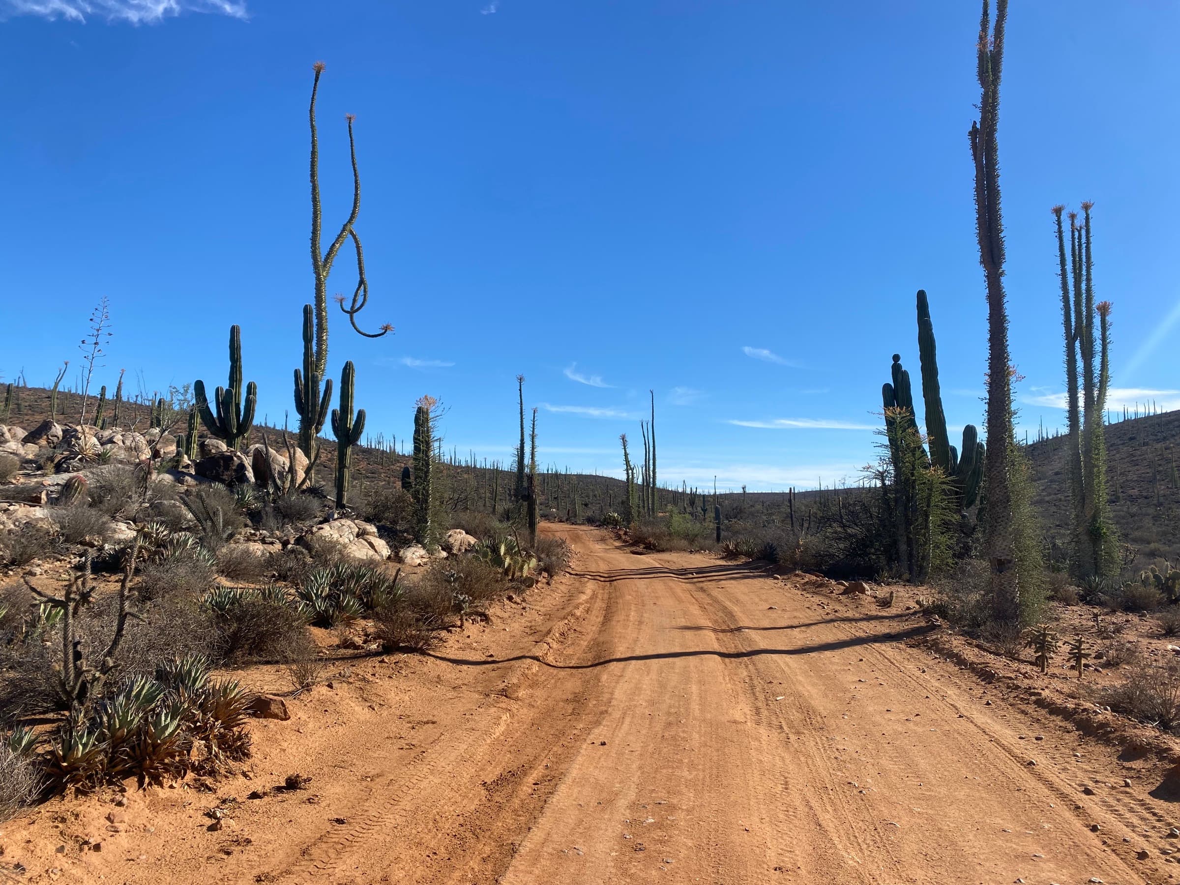
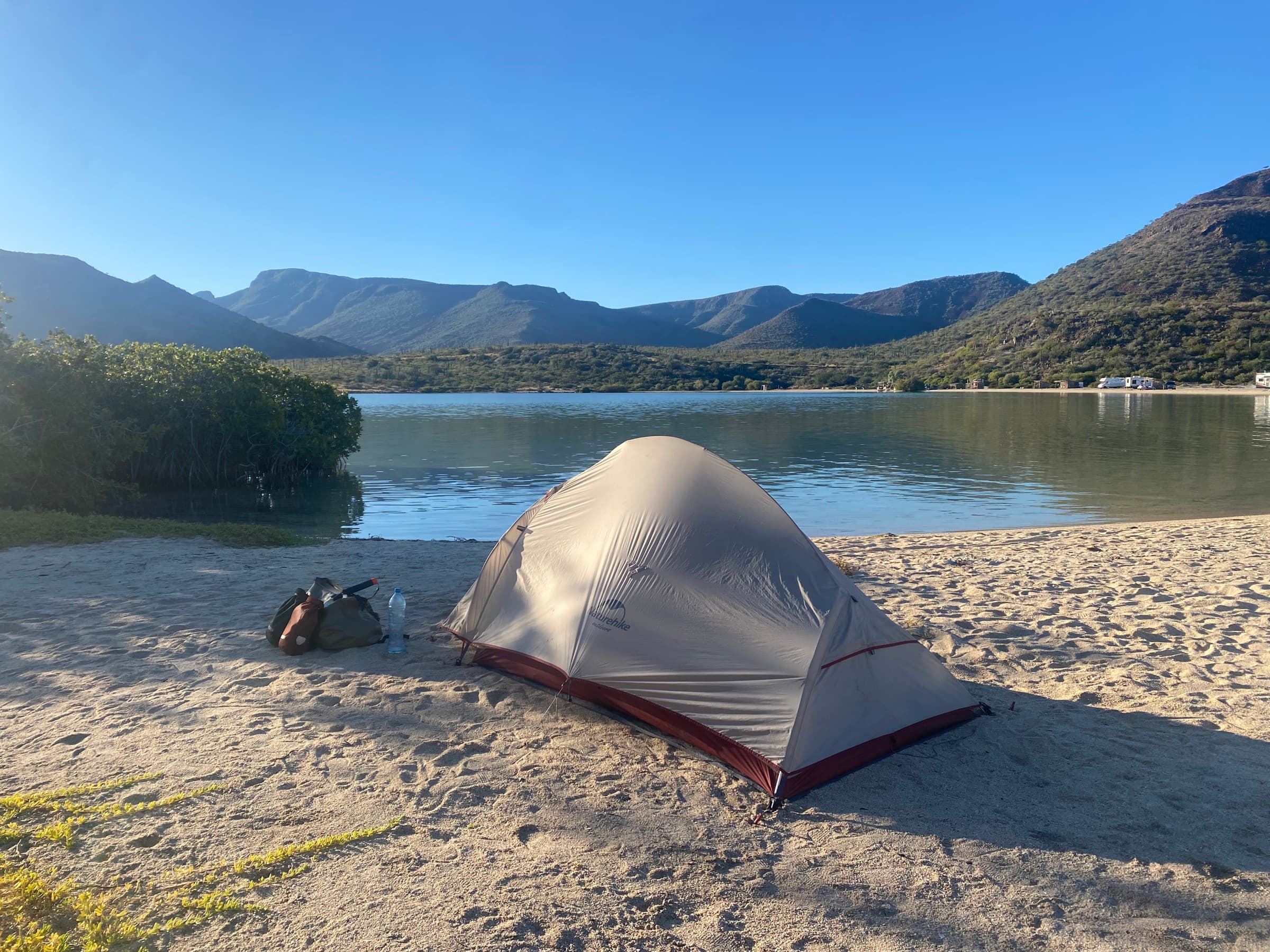
By that point I already had my first more serious off-road routes behind me — about 1,500 km of the BC Trail in Canada and part of the Baja Divide on the Baja California peninsula.
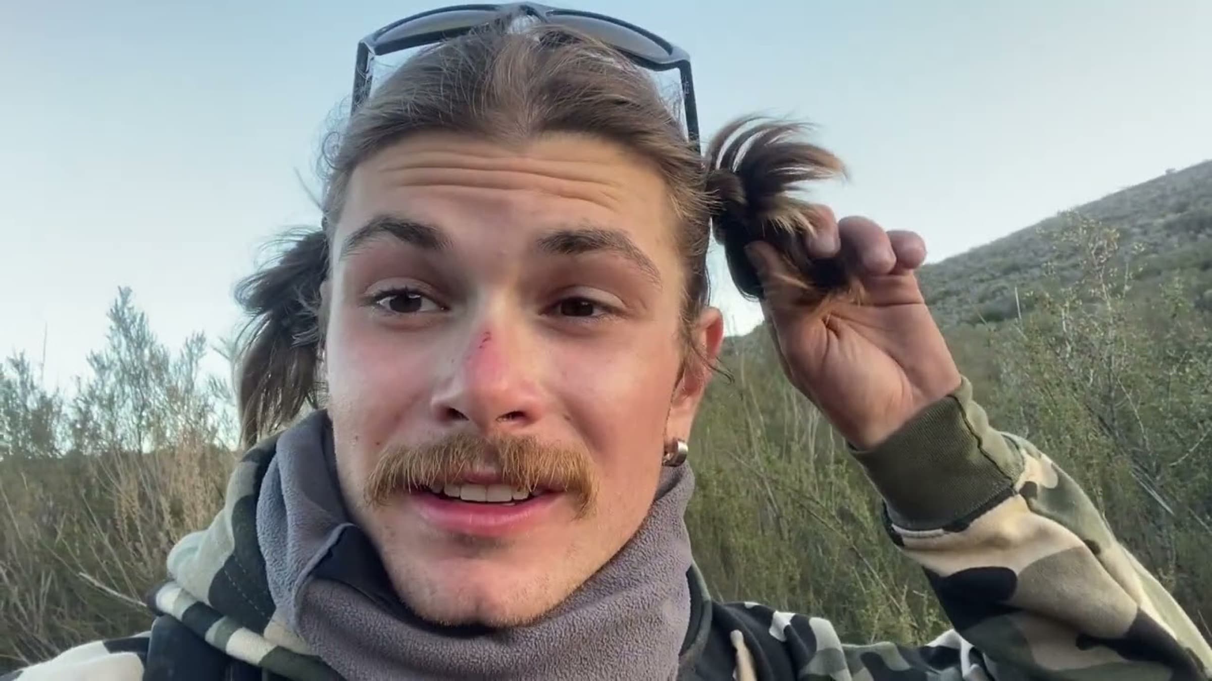
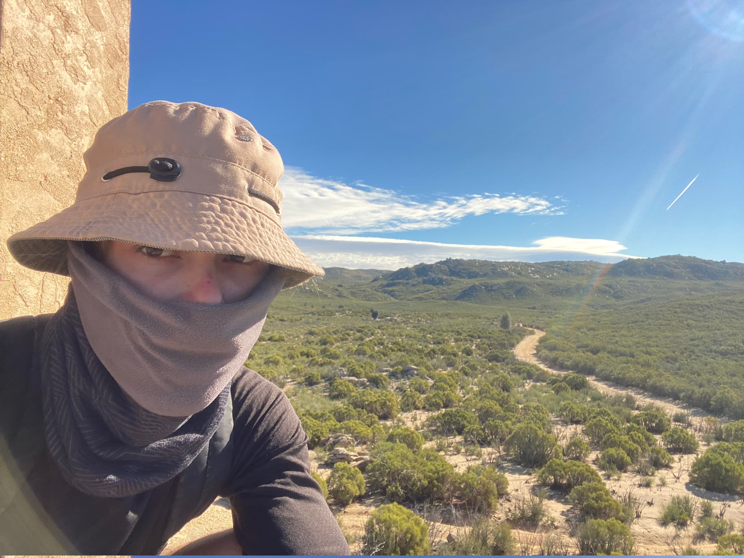
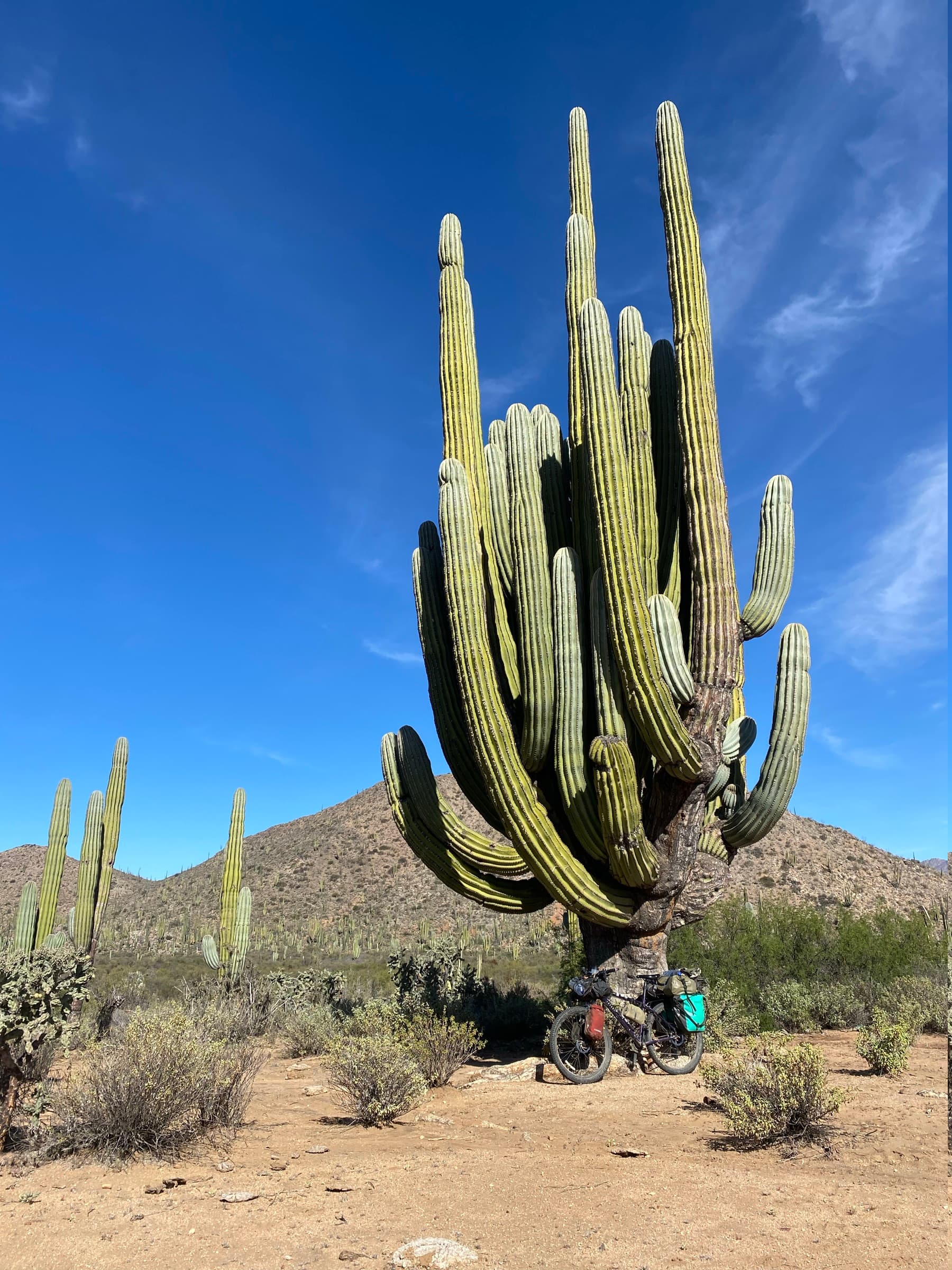
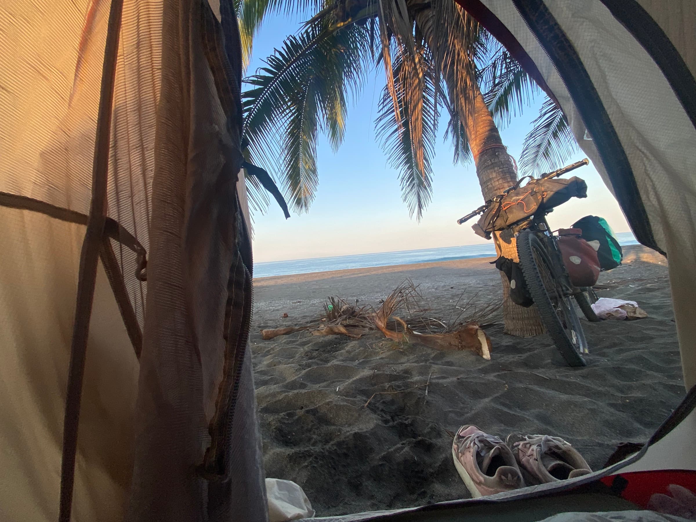
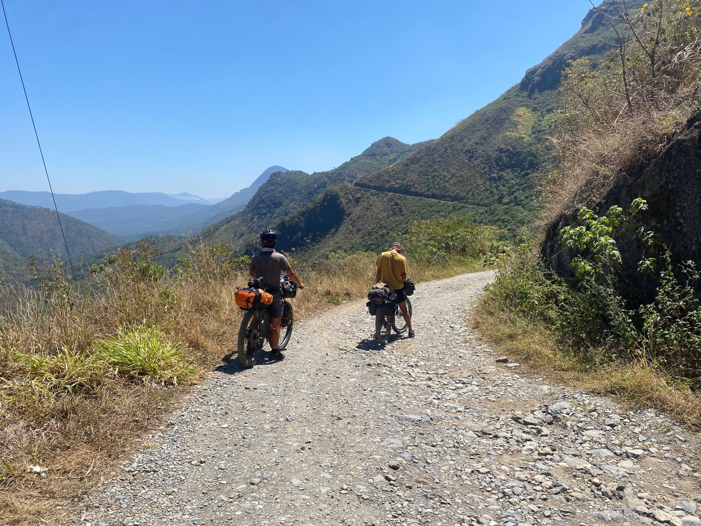
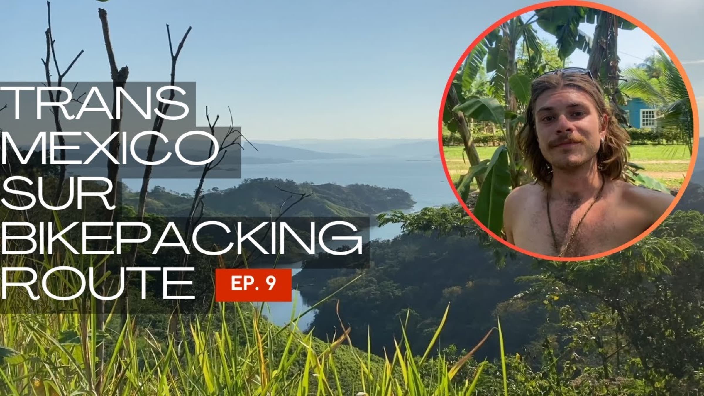
After finishing work in the state of Jalisco I set off on the next route — Trans Mexico Sur. That is where I met Zach Bray, the only person mad enough to agree to kayak with me through the Darién Gap, from Panama to Colombia.
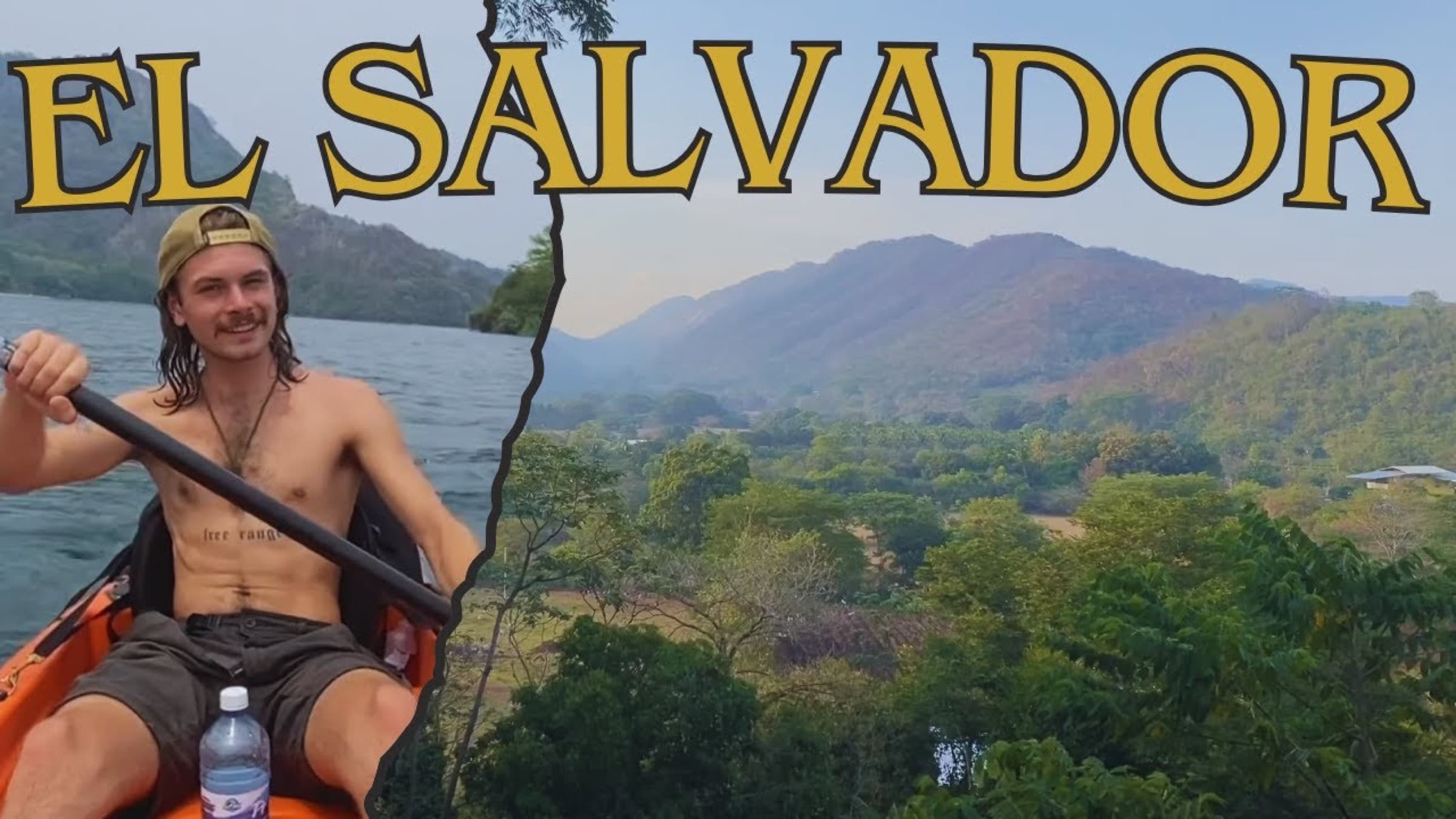
In El Salvador I worked on a coffee plantation for about a dollar an hour. That is where I decided on my first return to Europe. The reason was simple: the rates in Central America were too low to realistically fund the rest of the journey, and the rainy season was gathering strength by the day.
With my last money I bought a ticket from Costa Rica to London, where I worked for three months, gathering funds for the road ahead and waiting out the worst of the rains.
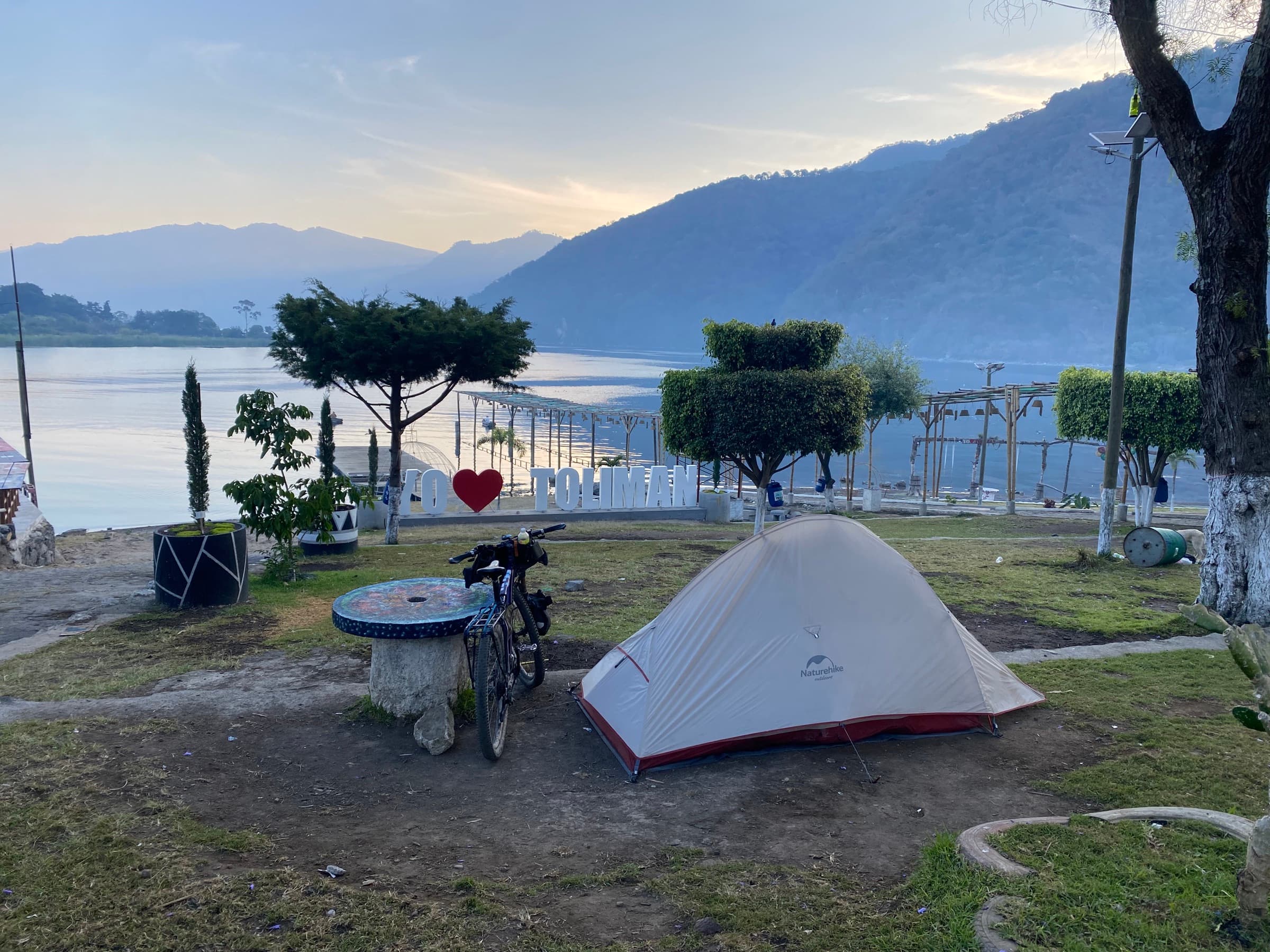
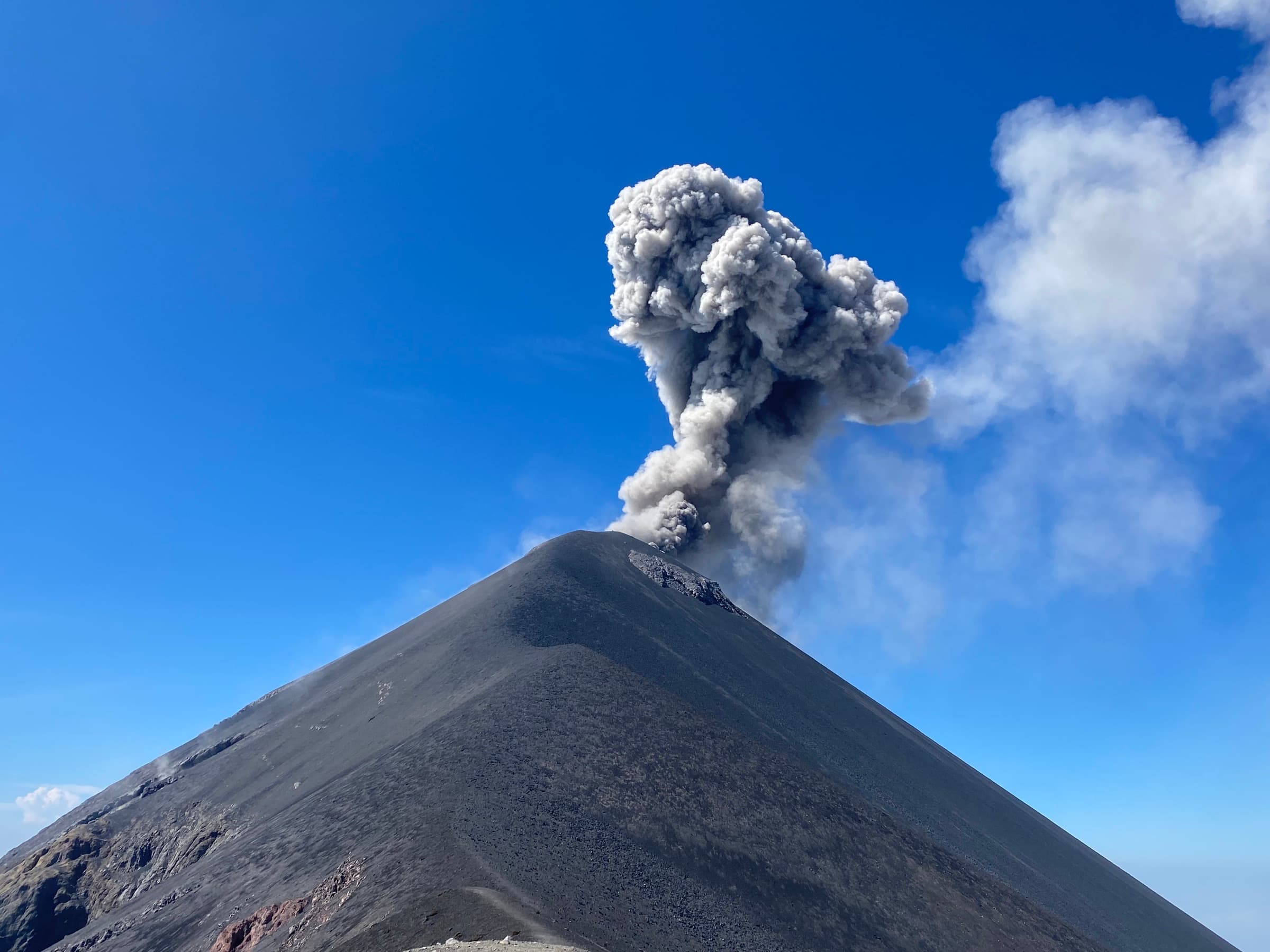
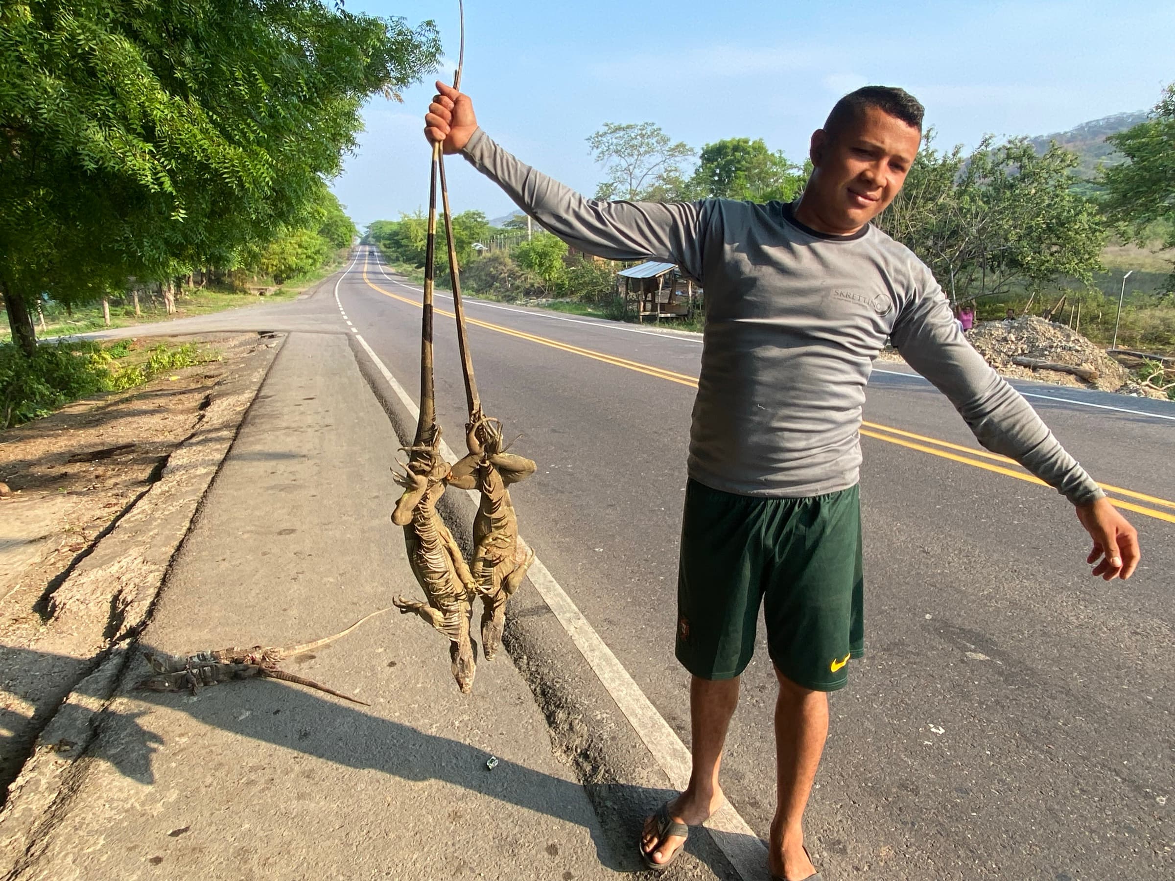
The first stage of the journey lasted exactly a year and a month.
While I was in Europe I also managed to find a few small sponsors who financially supported my next idea — a kayak crossing from Panama to Colombia.
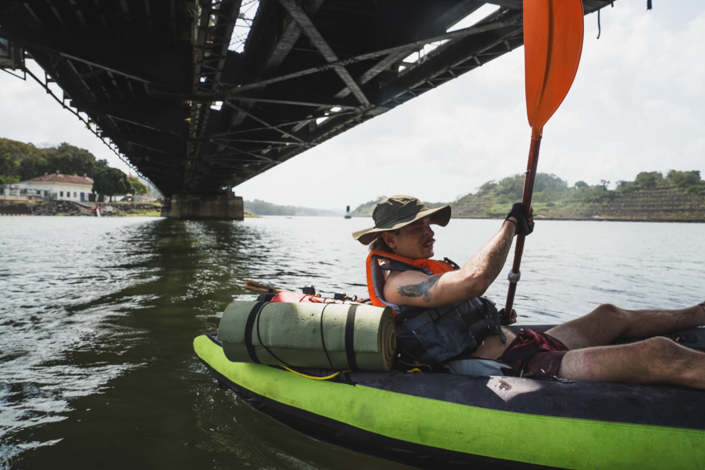
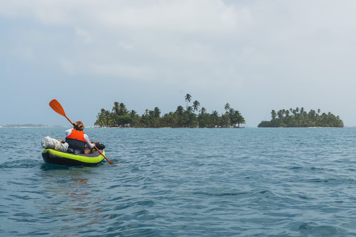
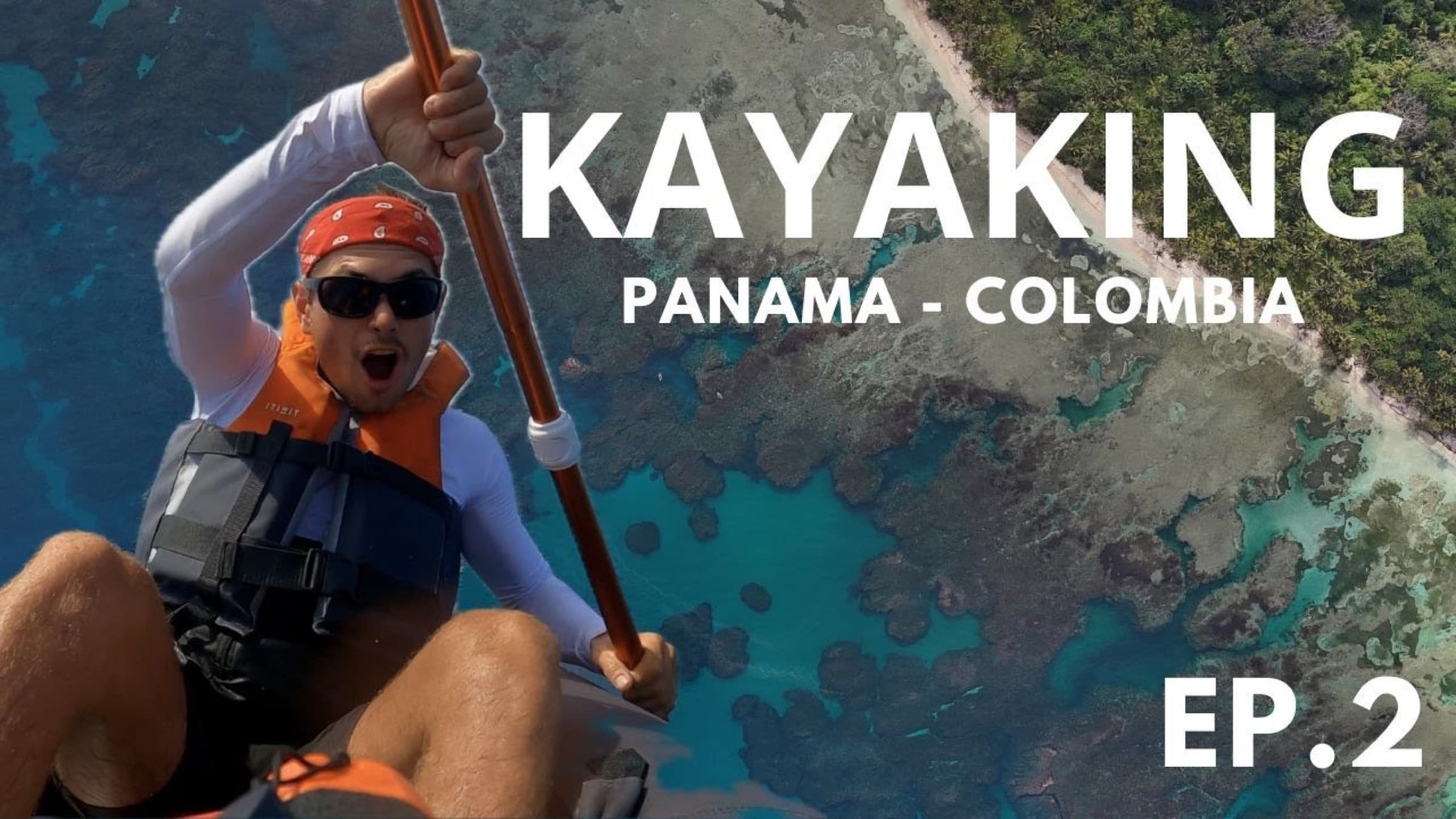
The journey through the Darién Gap lasted 40 days. We covered about 420 km and, as it later turned out, I became the first Pole in history to make such a crossing, and one of the few people in the world who have chosen a similar journey. You can read more about this stage by clicking the relevant section on the globe.
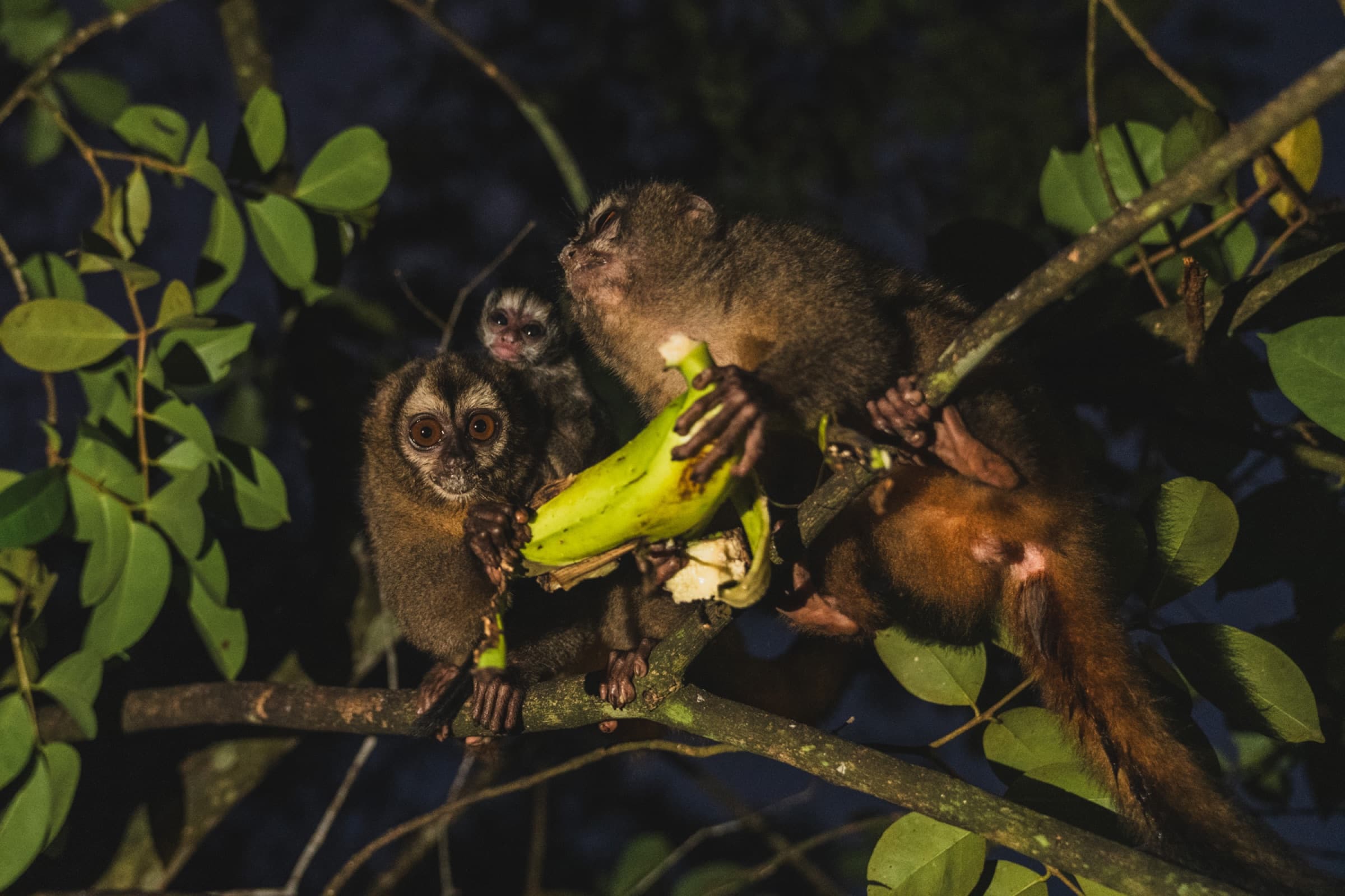
I rode through Colombia in about two months. For three weeks I was accompanied by my then girlfriend, whom I had met earlier in Guatemala. Together we rode from Medellín to Bogotá, and later I continued alone.
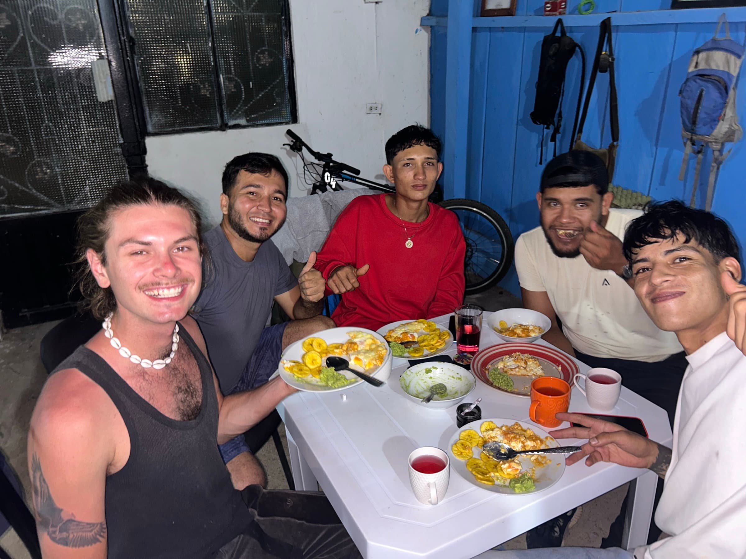
I headed for the isolated department of Meta — a region that for many years had remained off the usual tourist trail and was closely tied to the history of the Colombian conflict and to cocaine production.
On off-road routes mapped by the legendary Mark Watson I reached the small, isolated town of La Macarena, surrounded by some of the most beautiful natural places I had seen in Colombia.
From there I rode on towards the famous Trampolín de la Muerte — a road that for years had been regarded as one of the most dangerous in the country. Then I headed straight for the border with Ecuador.
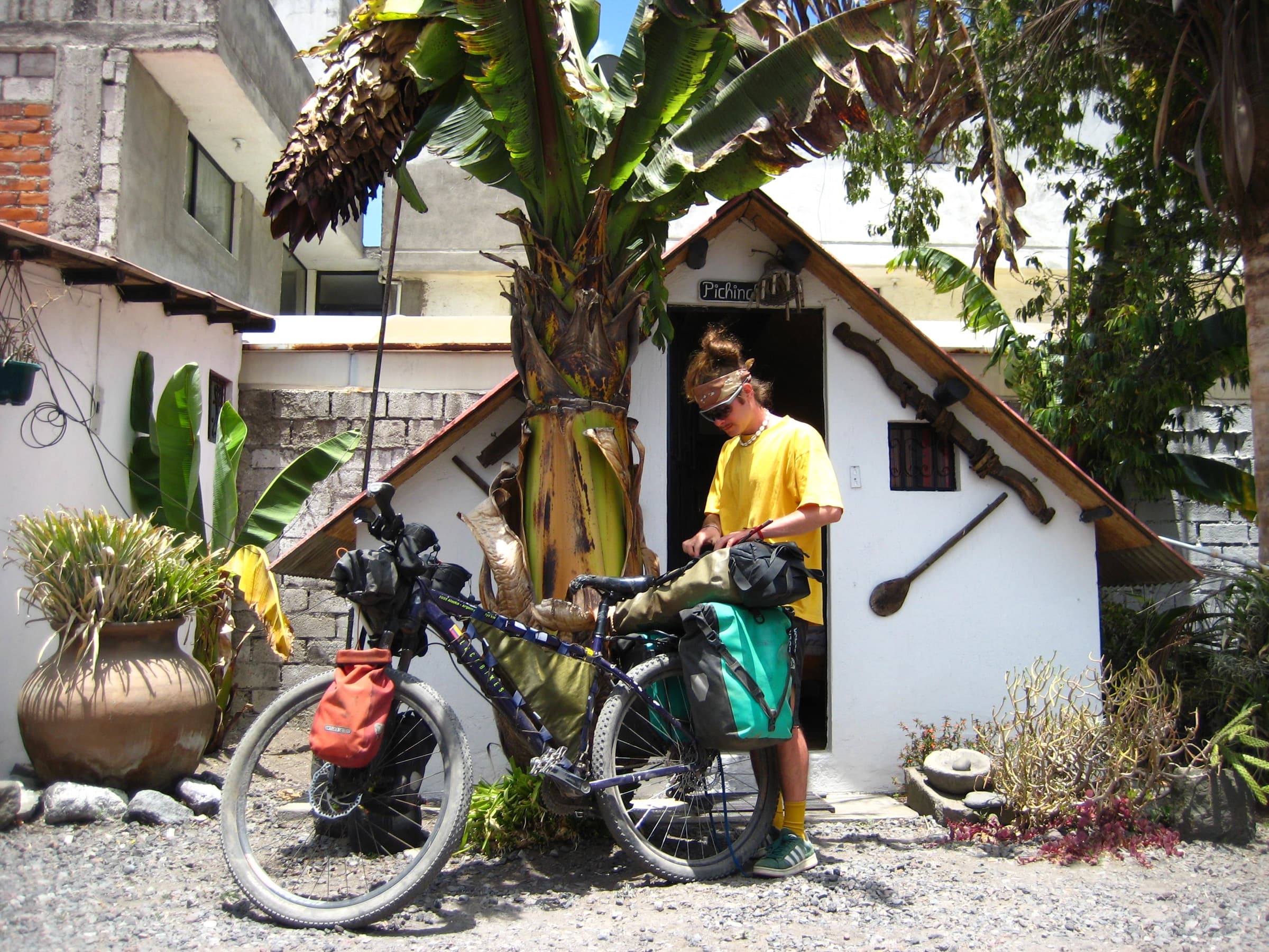
In Ecuador I was joined by my friend from London, Reinaldo, who comes from there. Not long afterwards I finished the second stage of the journey, lasting about six months, and from Quito I returned to Europe again — once more practically on my last money.
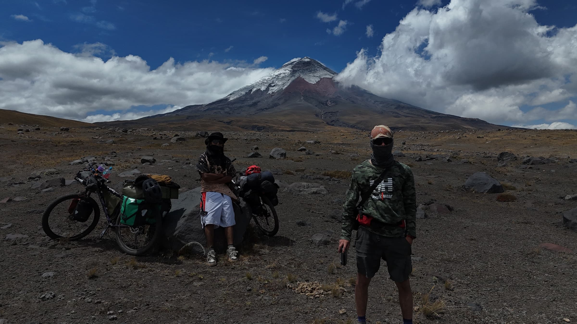
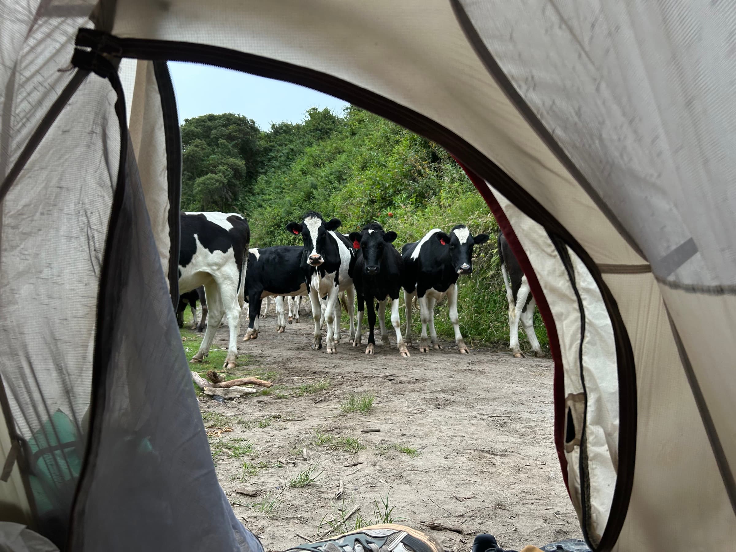
After another three months of work, Rey and I went back to Ecuador.
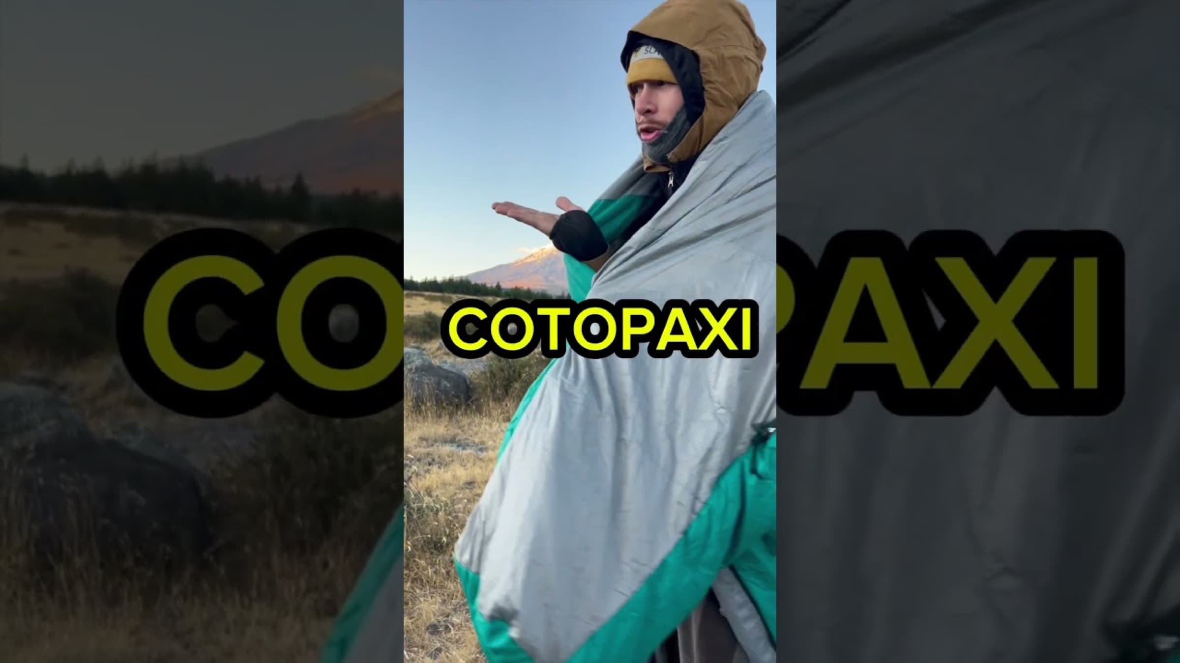
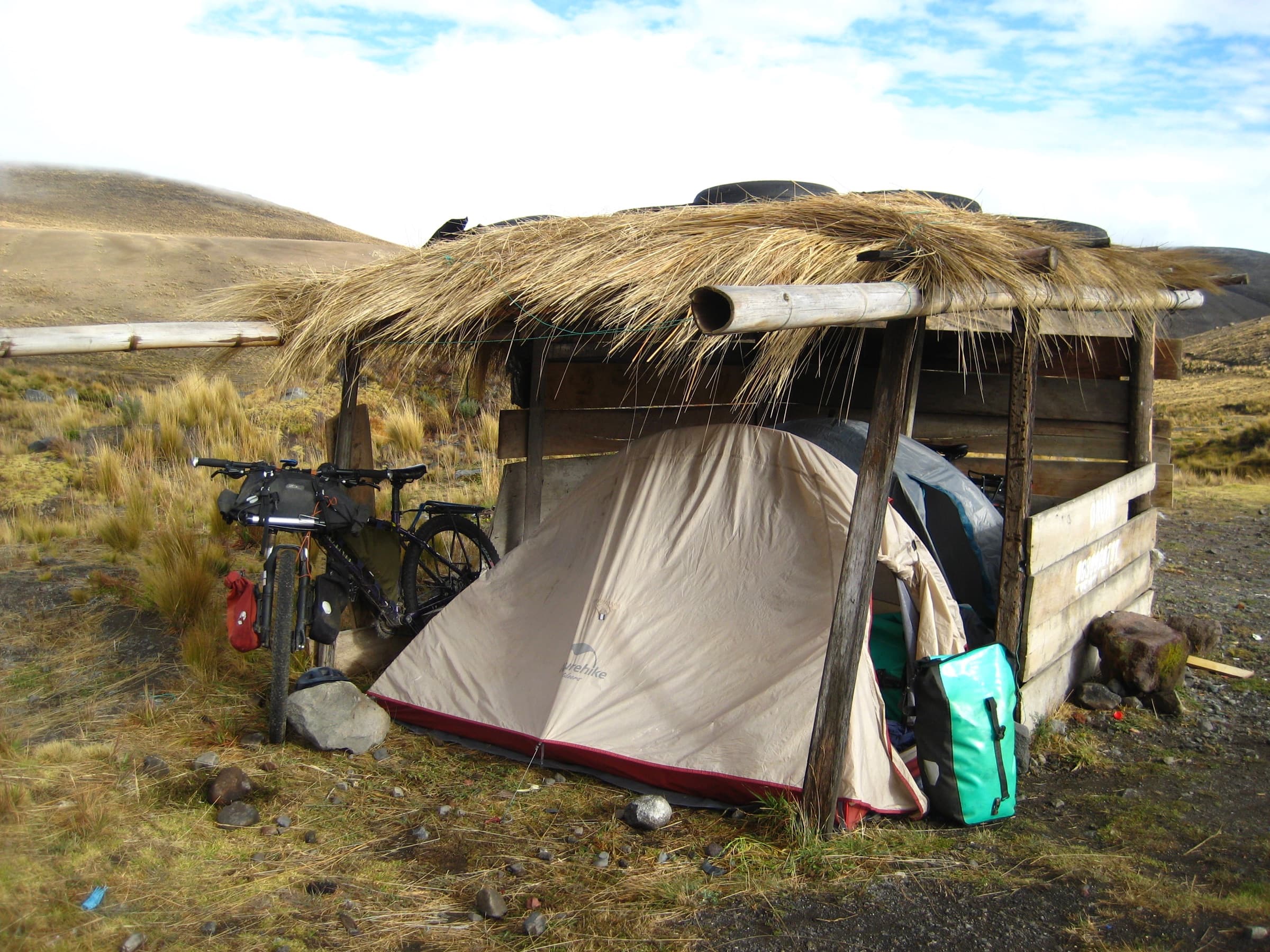
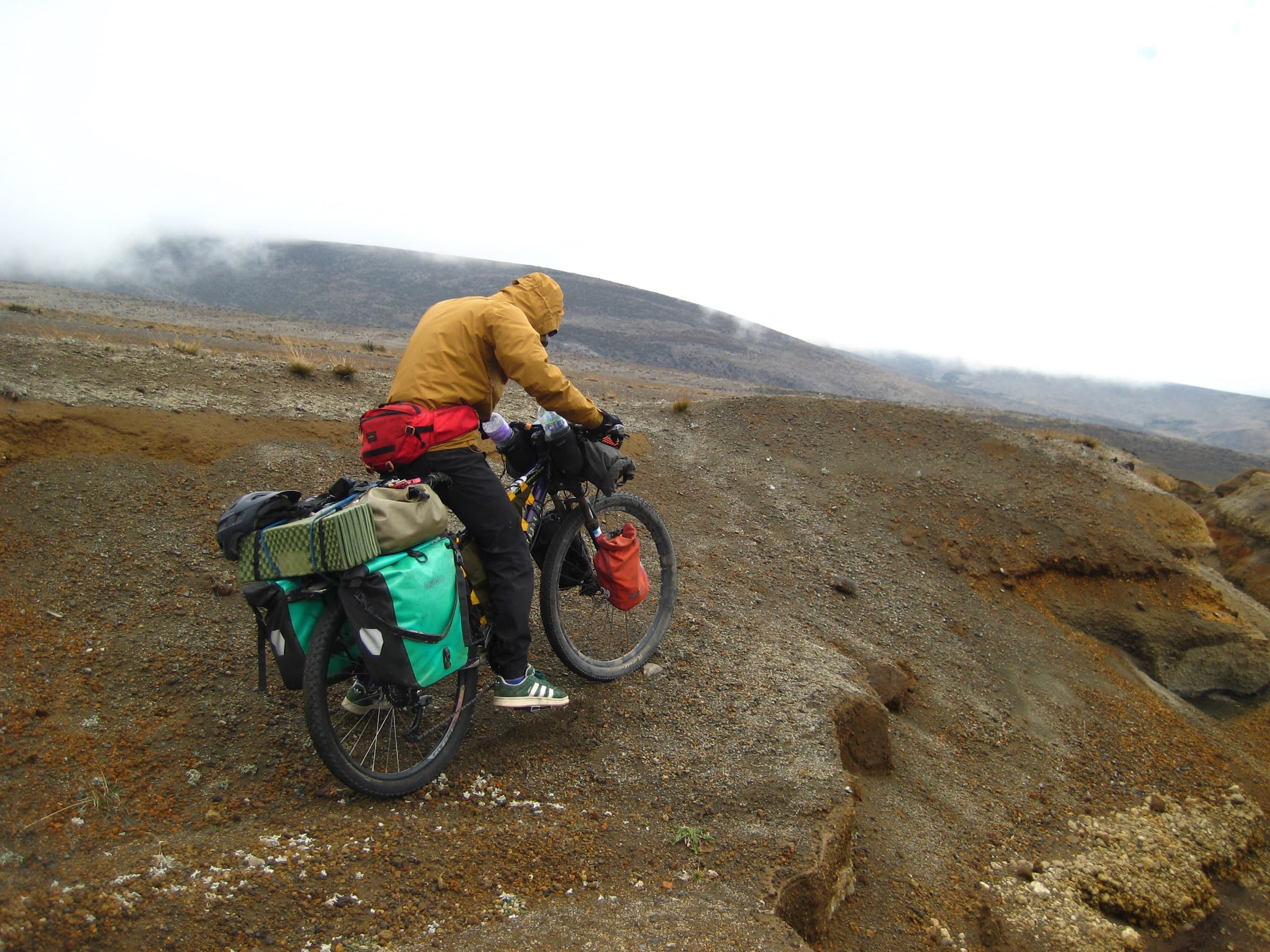
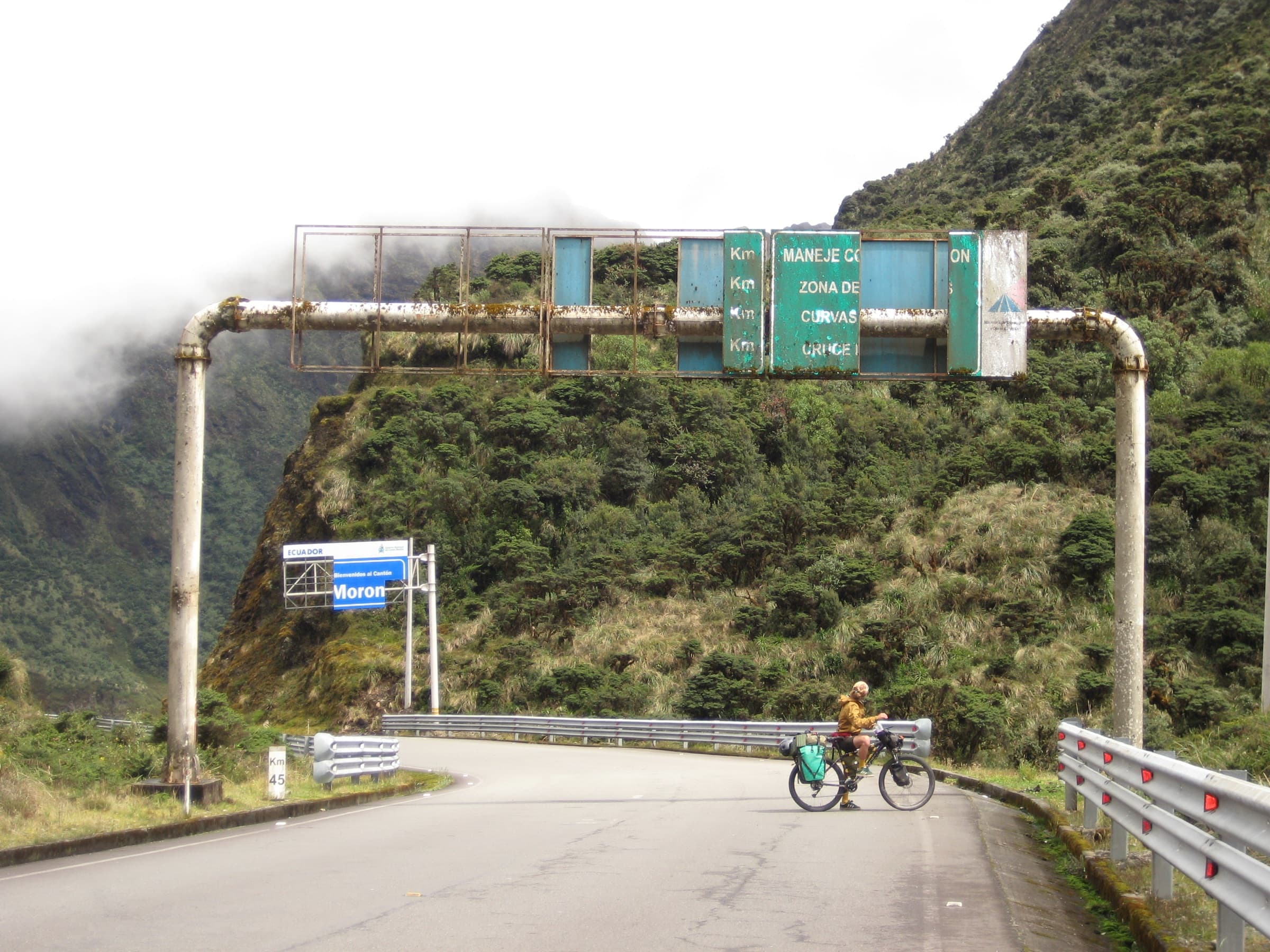
We rode a large part of the Trans Ecuador route, passing the volcano Cotopaxi and then the highest mountain in the country — Chimborazo. Later we dropped out of the Andes and headed into the Amazonian part of Ecuador. Not long afterwards we were already at the border with Peru.
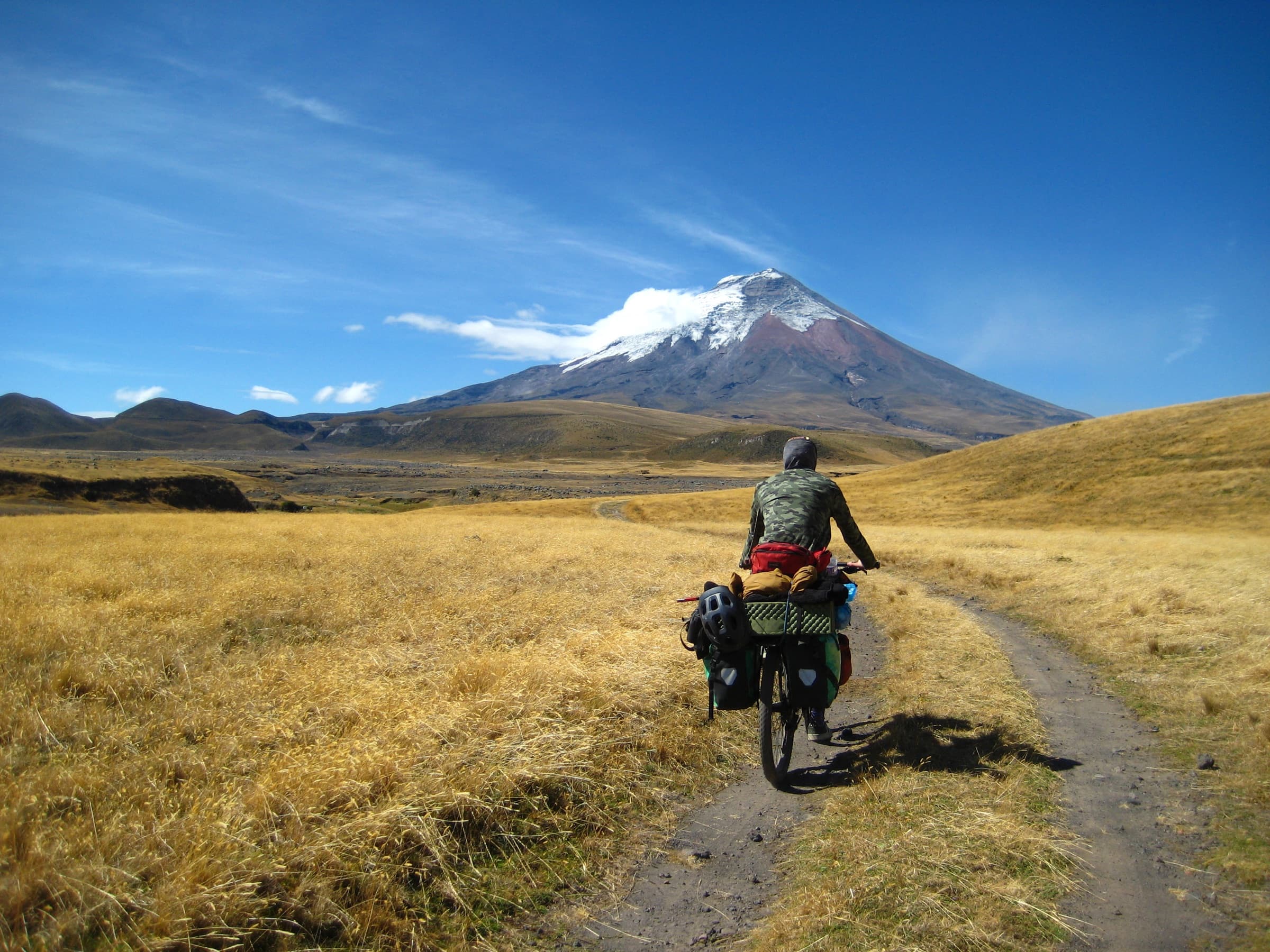
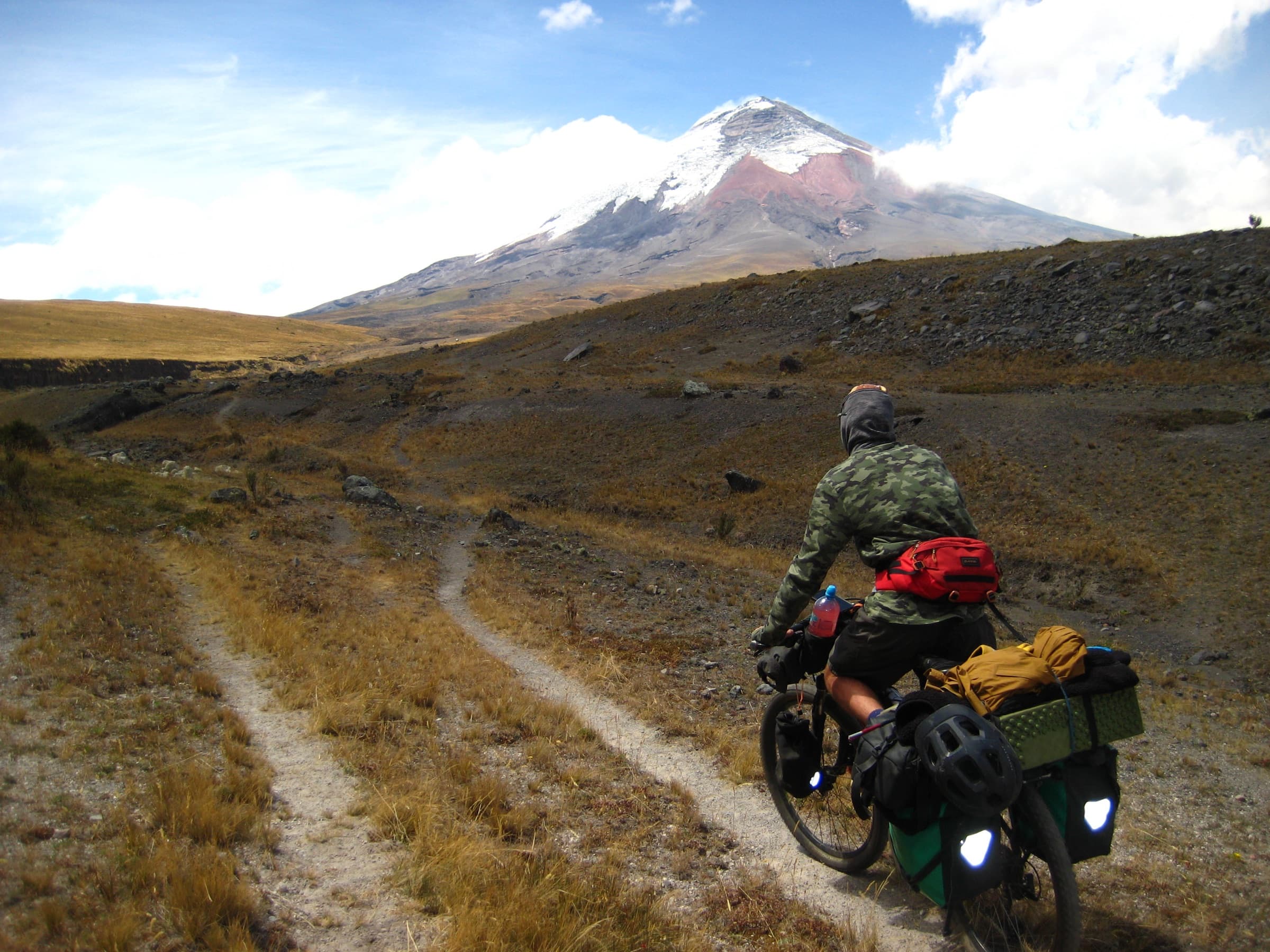
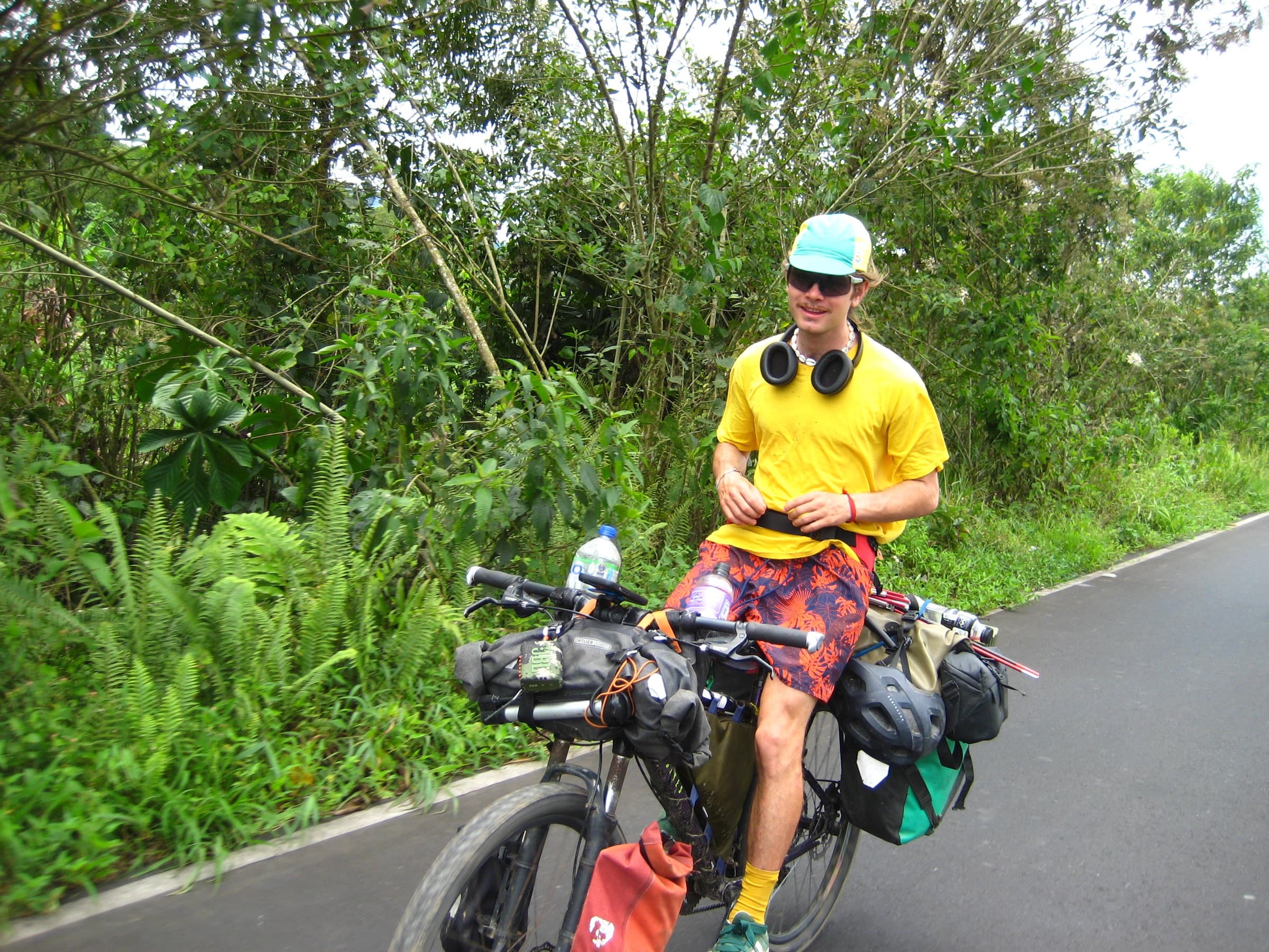
The day before crossing it we met a Colombian named Angelo, who travelled with us for the next three weeks.
Together we travelled deeper into the Amazon to Iquitos. We spent three days on a cargo ship, moving along successive Amazonian rivers.
In Iquitos I parted with Rey after more than a month and a half of riding together. He returned to Ecuador by another river route, and I set off back towards the Andes with Angelo.
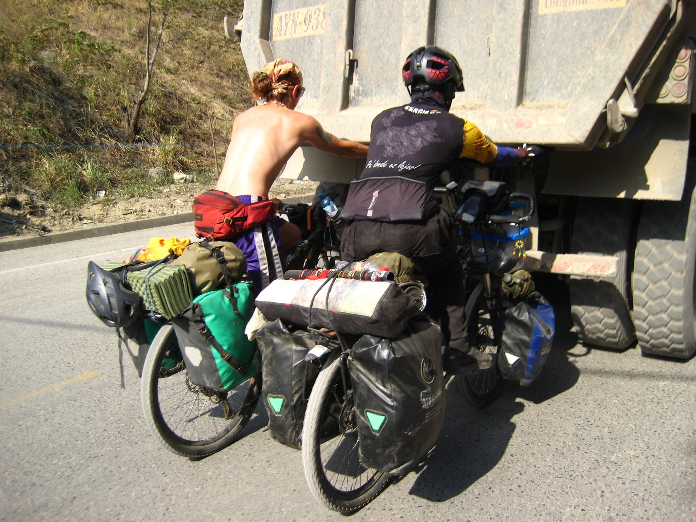
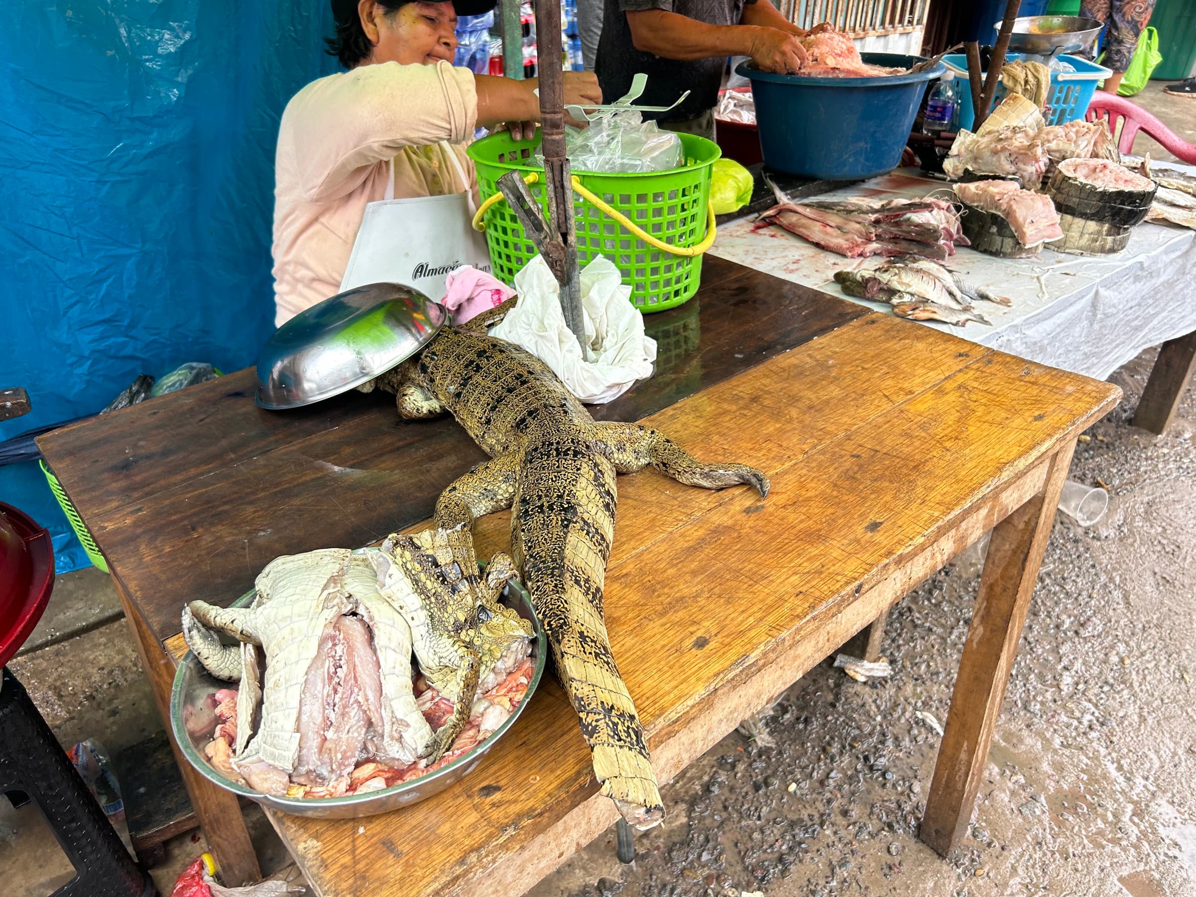
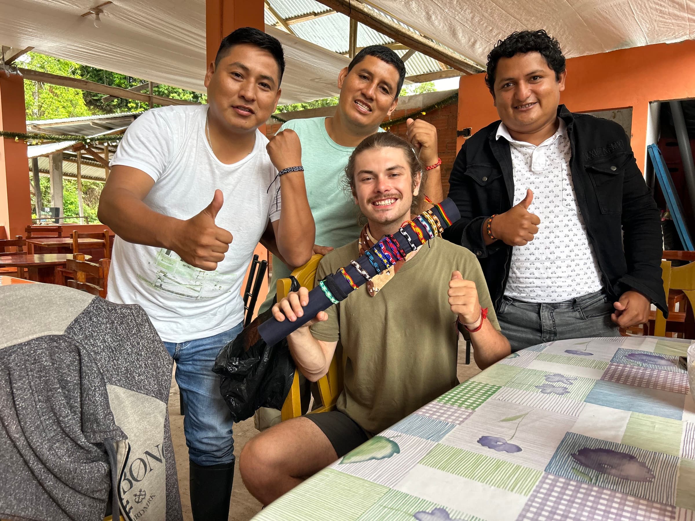
After many days of crossing huge mountains I reached Huaraz, which greeted me with practically endless rain.
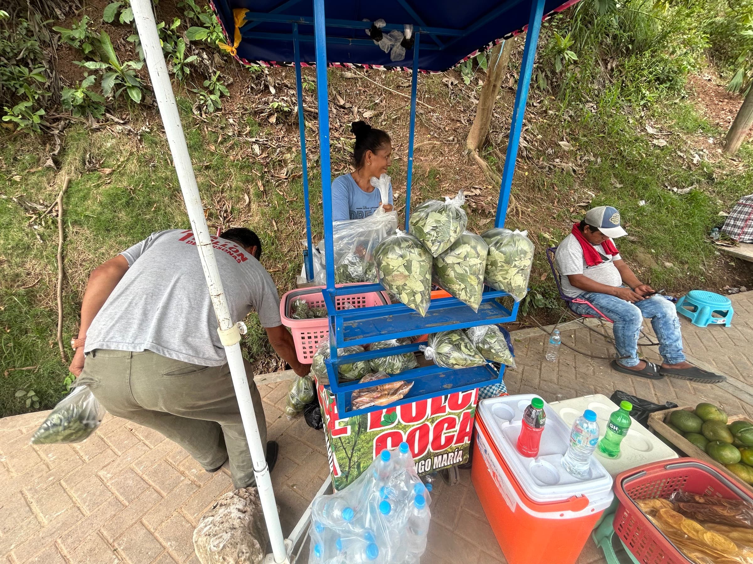
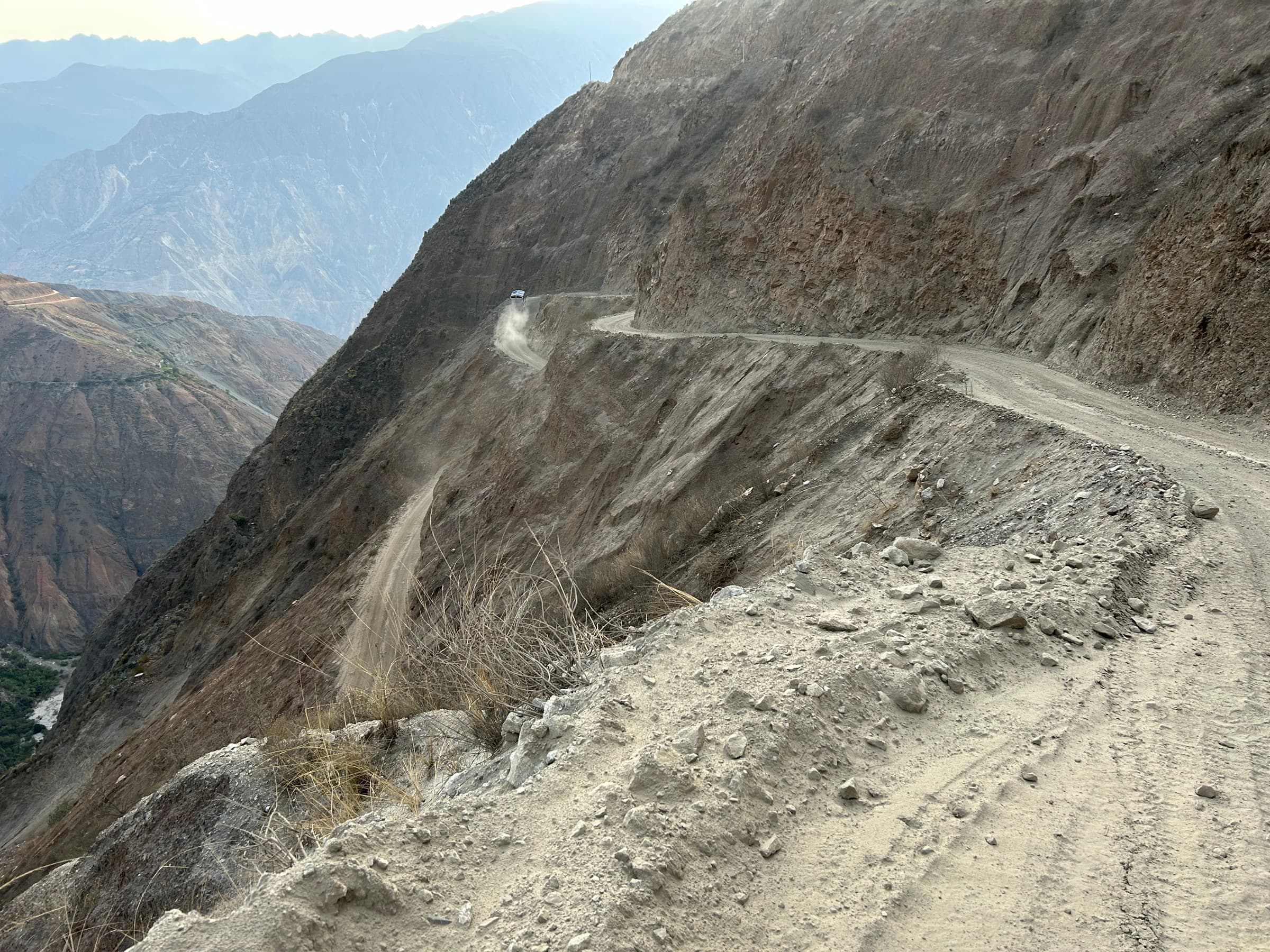
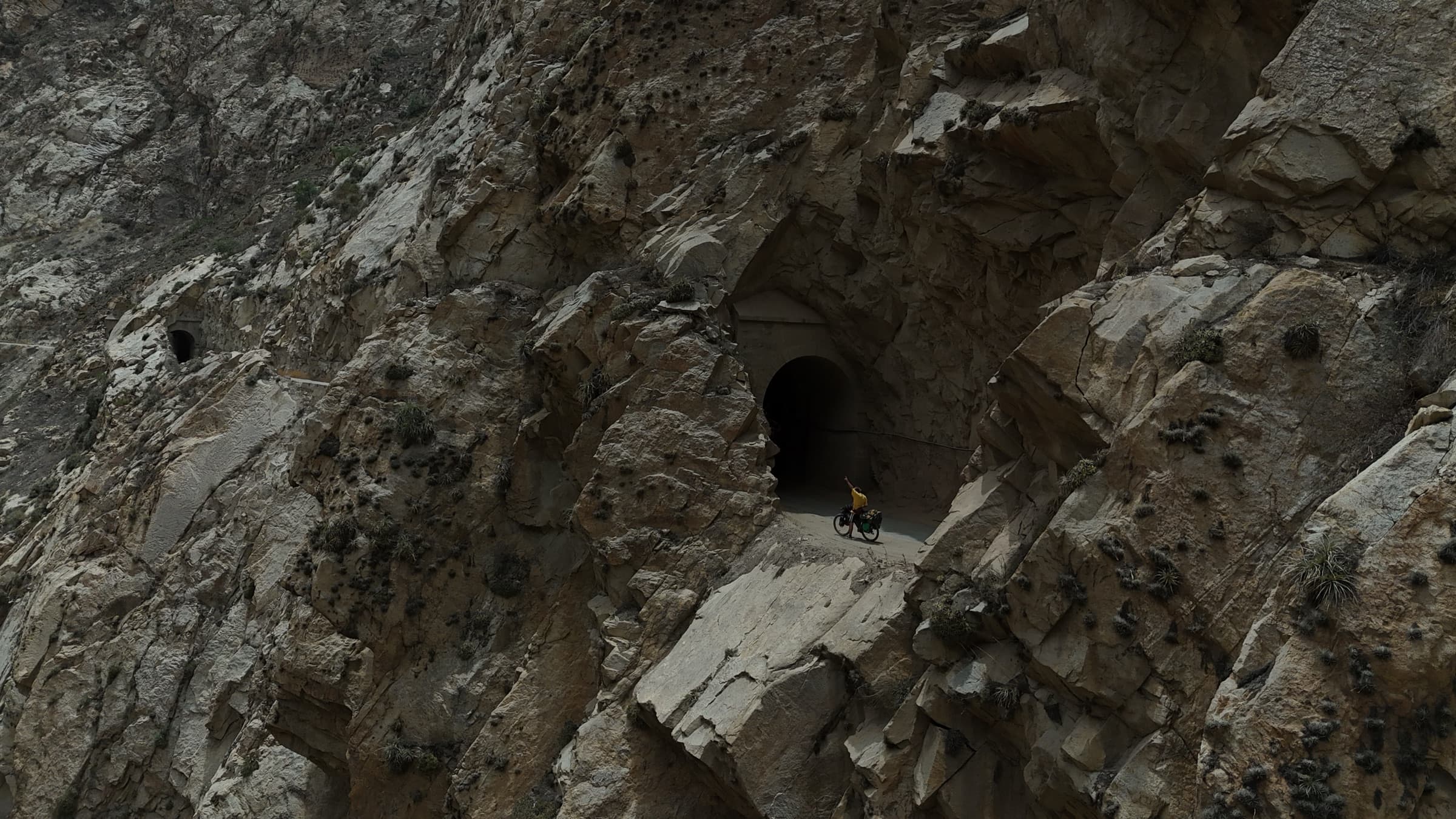
In the end I decided I had had enough and dropped down towards the coast, where the climate was completely different — desert, hot and extremely dry.
I rode about 400 km along the coast as far as Lima. From there I returned to Europe for the last time, this time for four months, to prepare for the final stage of the expedition.
I returned to Lima in May 2025.
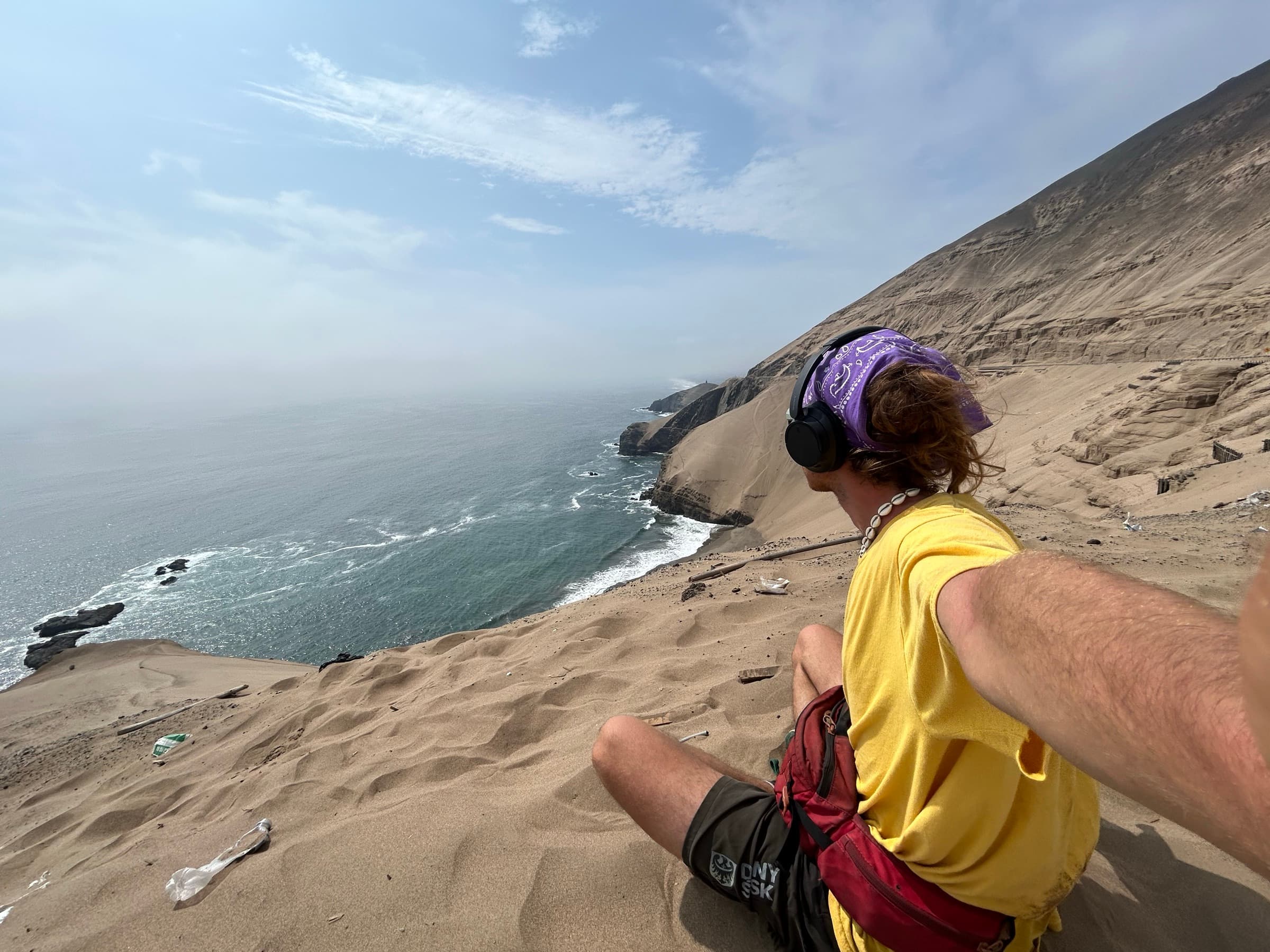
I did not get to enjoy the sun for long, though. From sea level, where Lima sits, in just eight days I reached an altitude of about 4,800 metres — then the highest I had been on the whole journey.
For the following months I barely dropped below 2,800 metres. I rode the Peru Divide as far as Huancavelica.
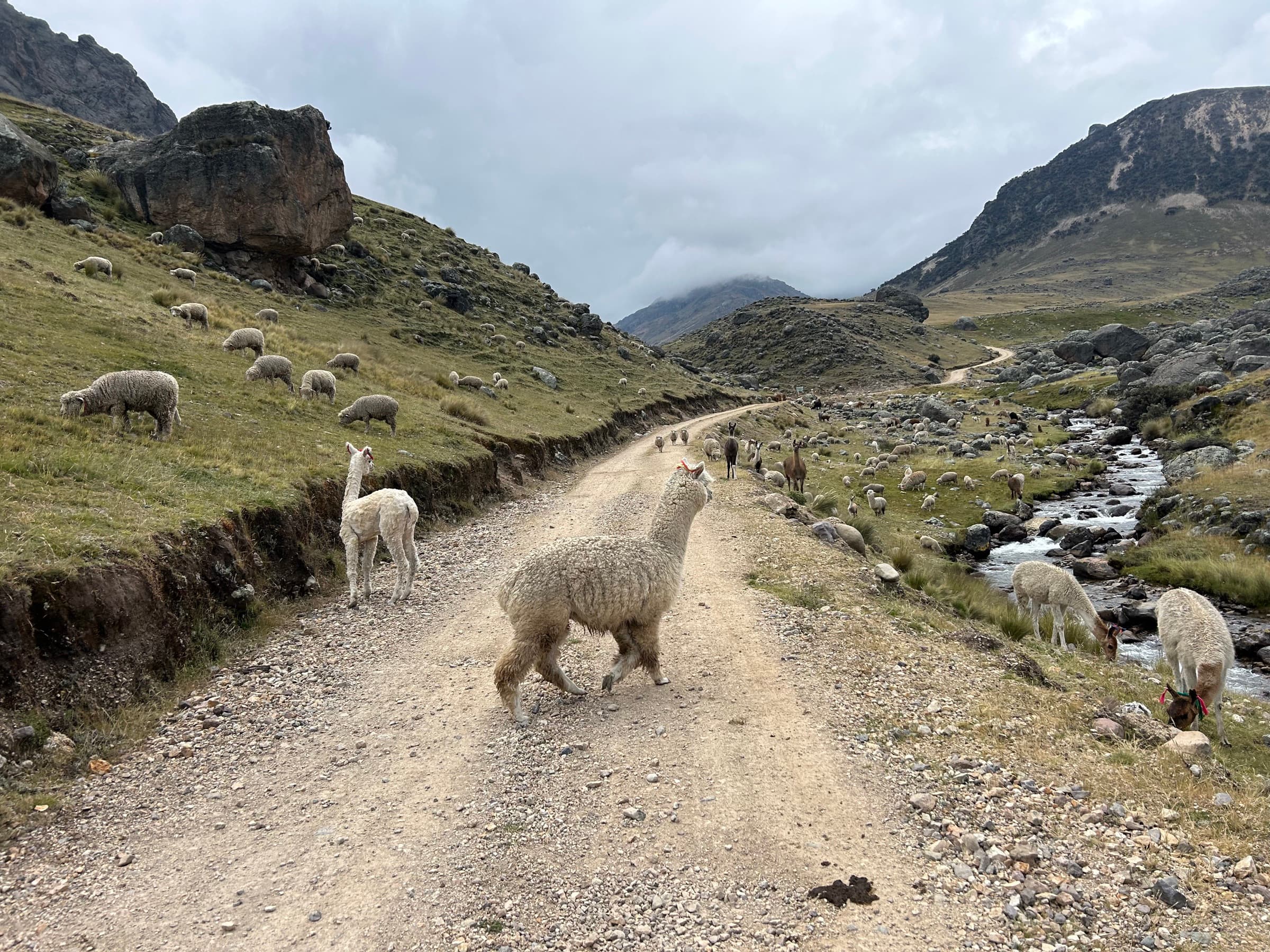
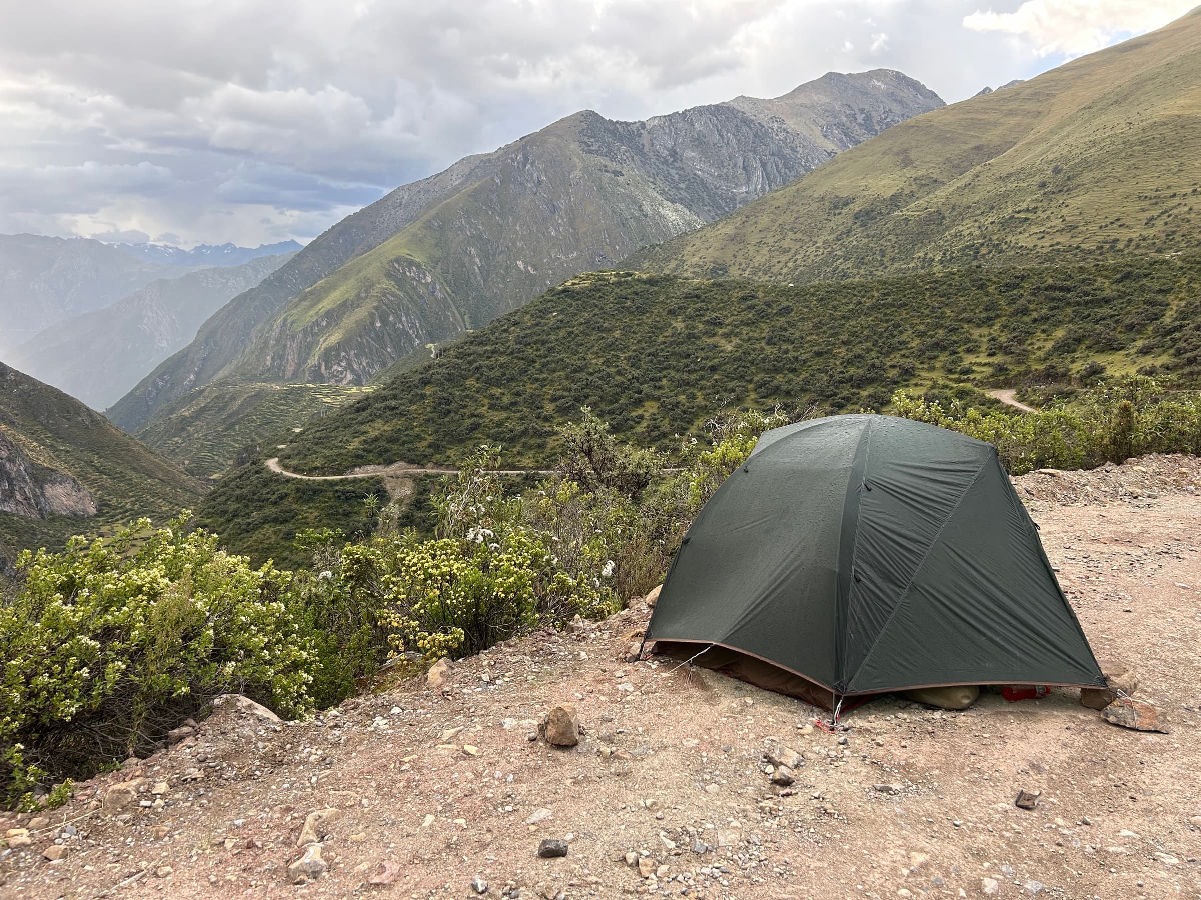
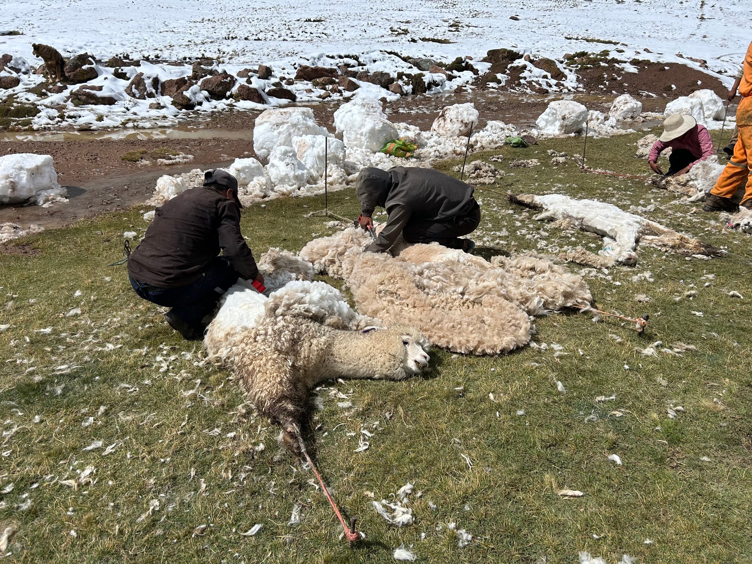
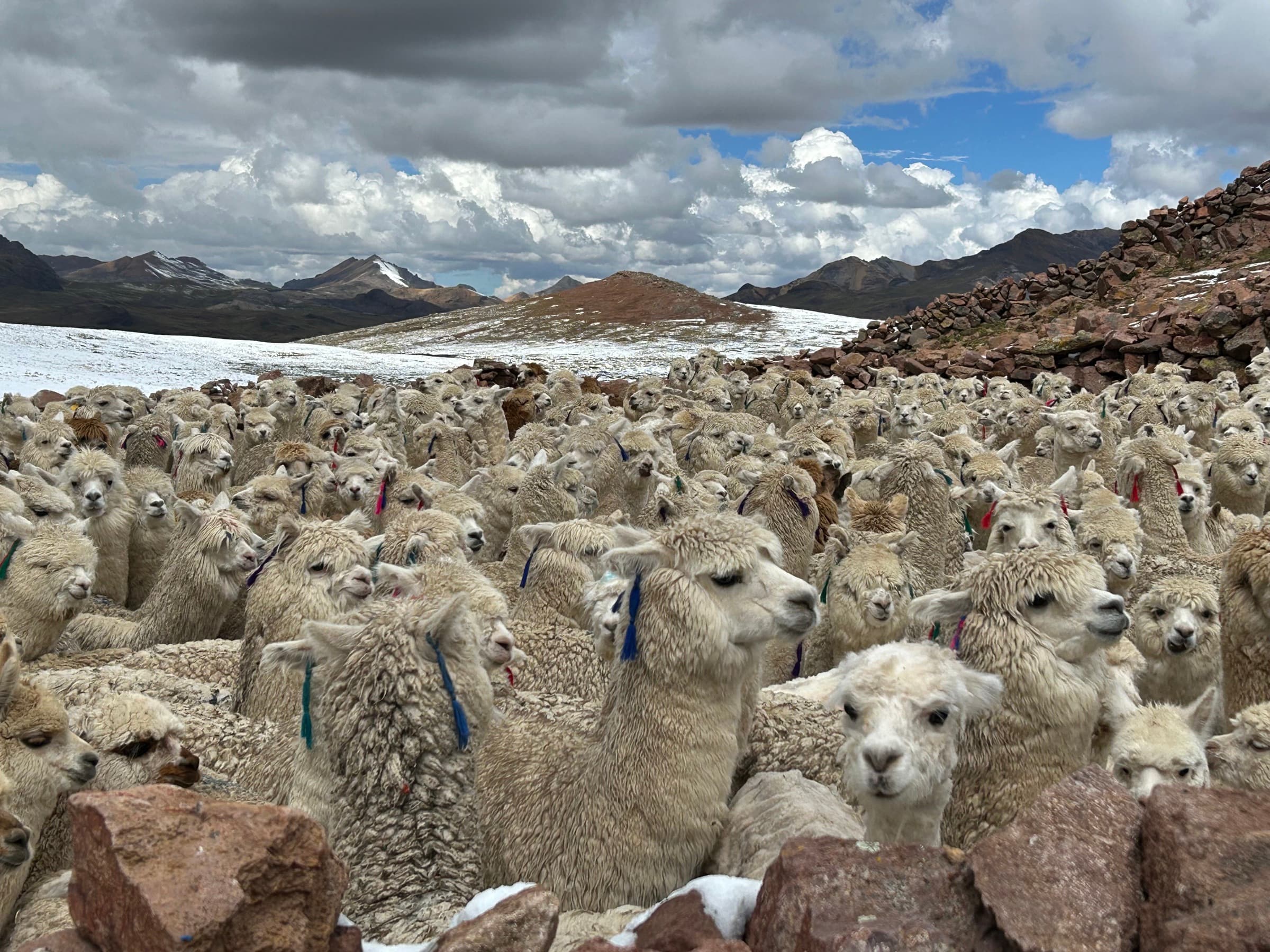
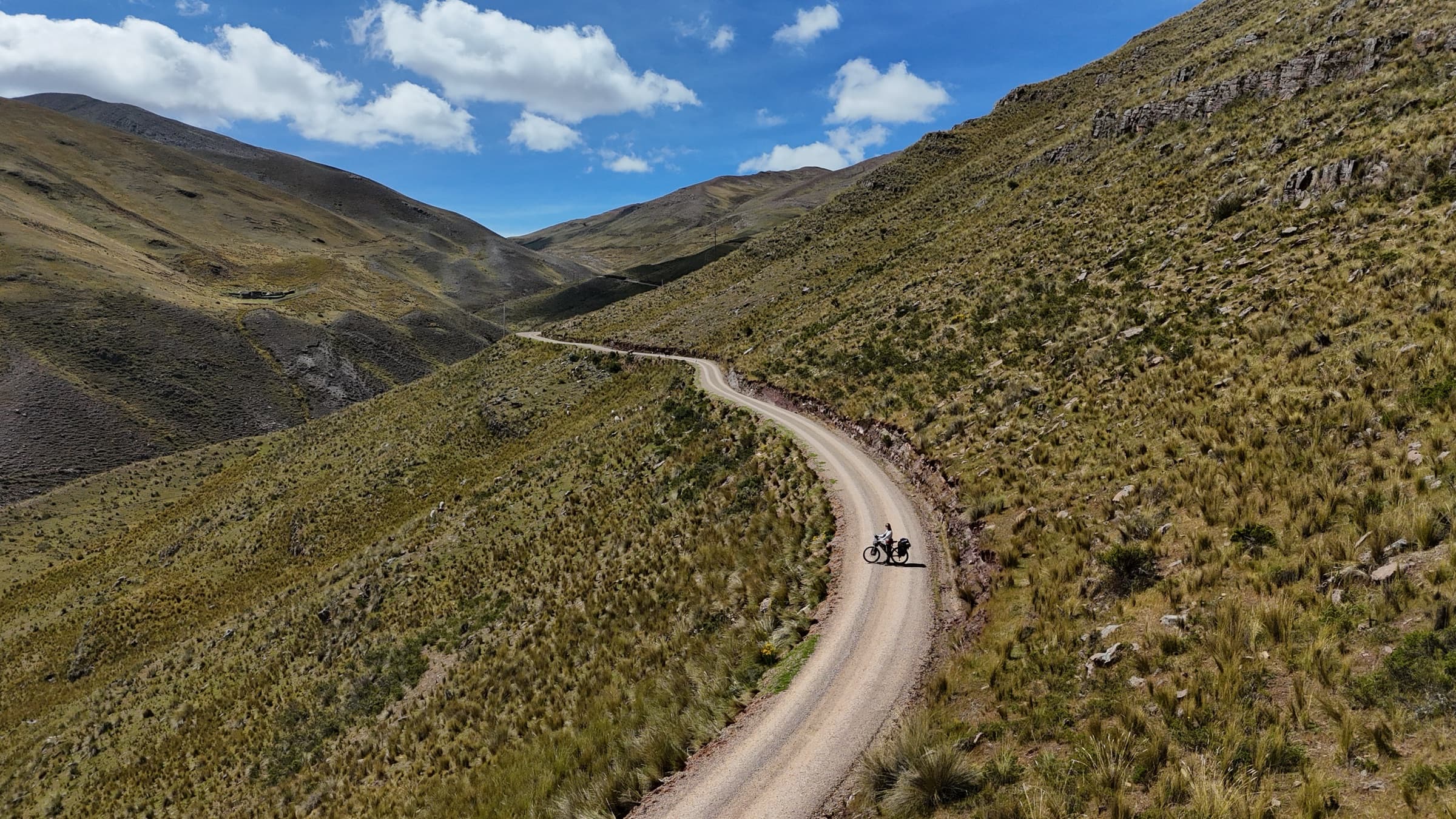
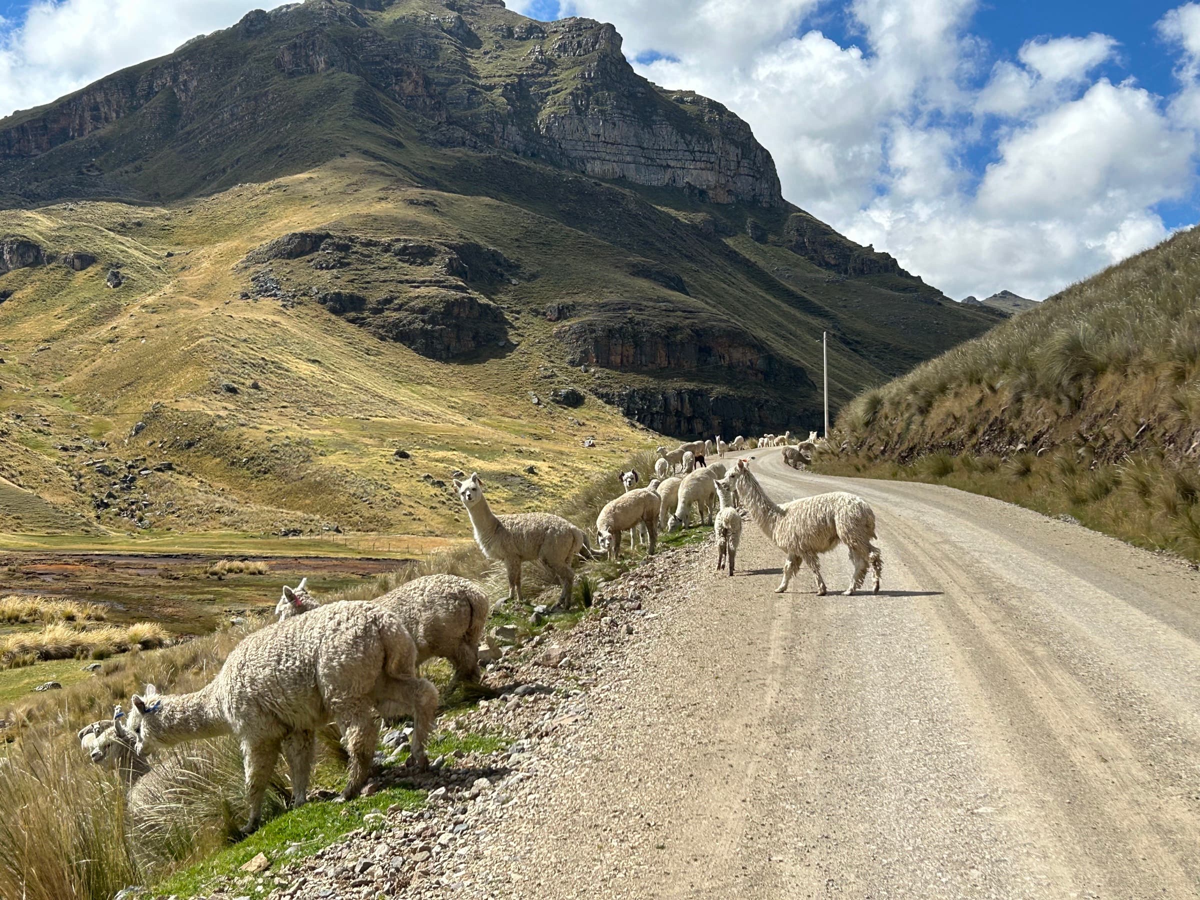
Then on smaller asphalt roads I reached Machu Picchu and, a little later, Cusco.
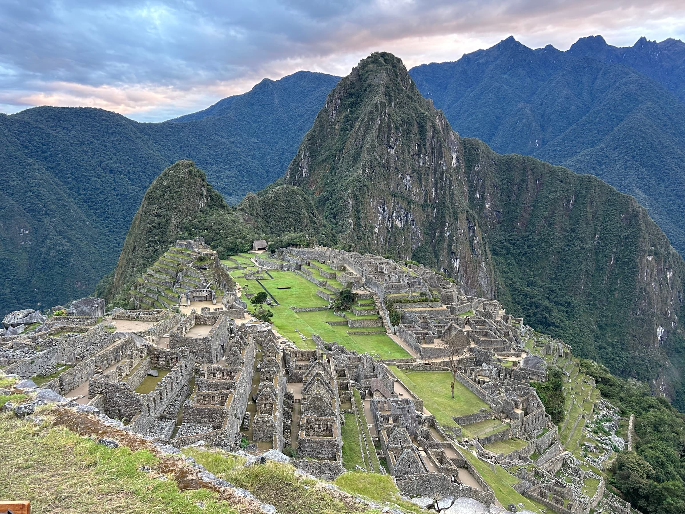
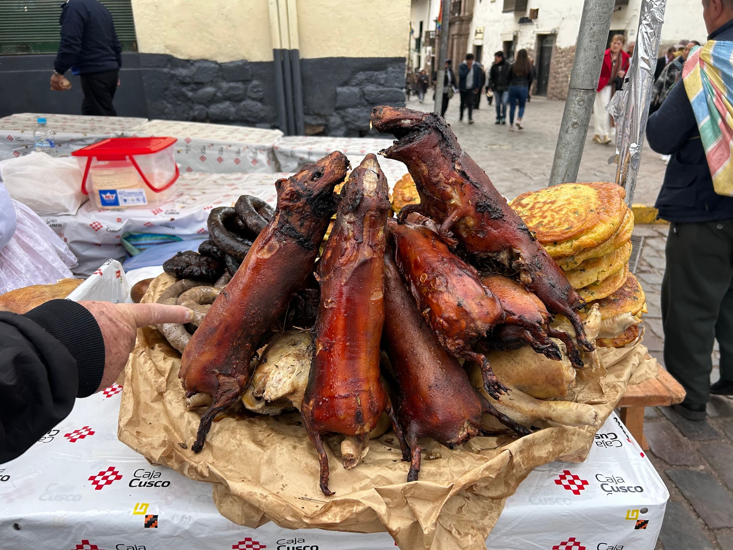
There I met a Japanese rider, Fuji. Together we decided to take on the hardest route of the expedition so far — Nevado Ausangate.
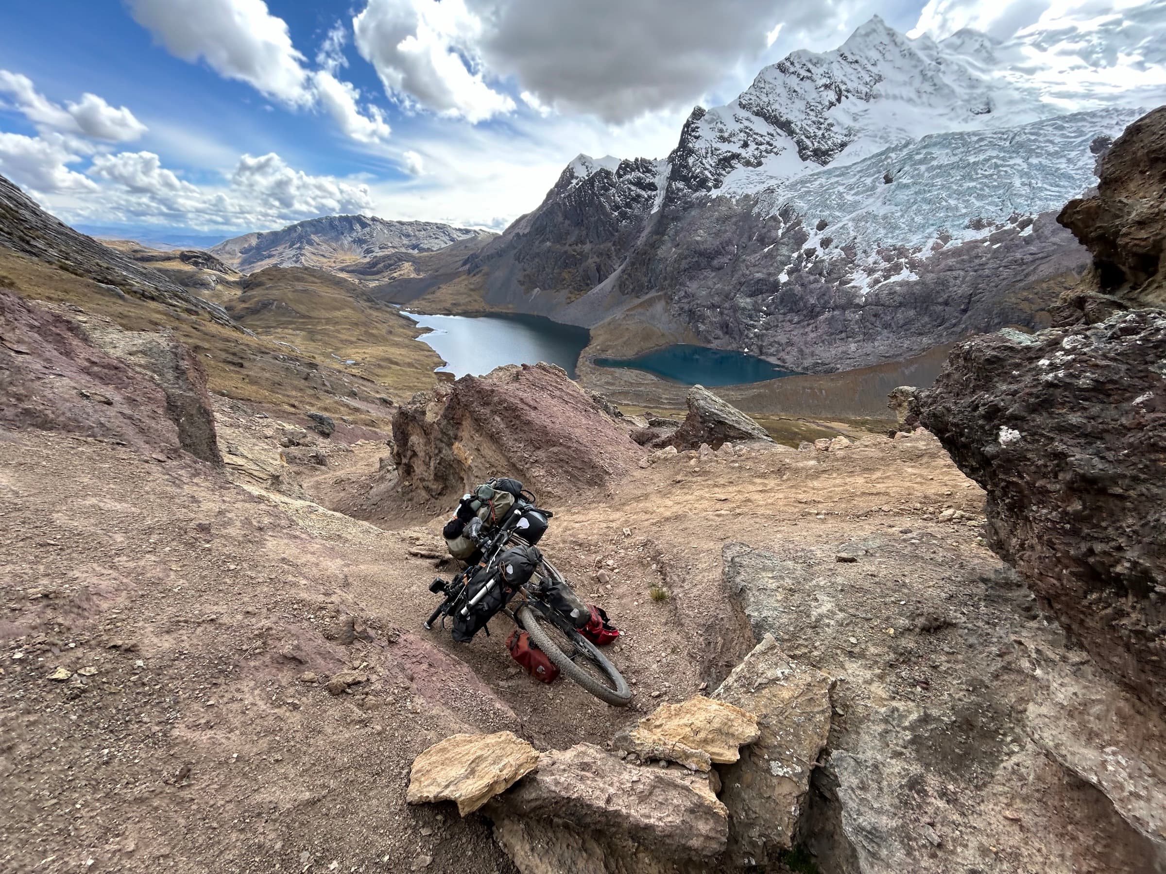
Its first stages were at times practically unrideable. For whole days we pushed the bikes uphill, and in the hardest places we had to take the panniers off and carry the bike and all the kit separately.
On the third day we reached the highest point I rode on the whole expedition — 5,070 metres.
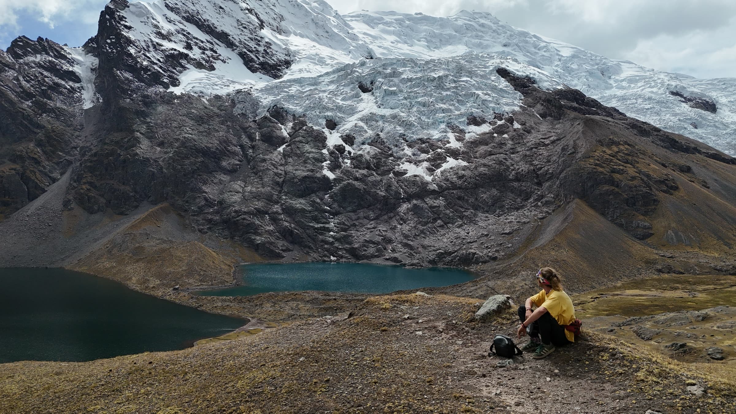
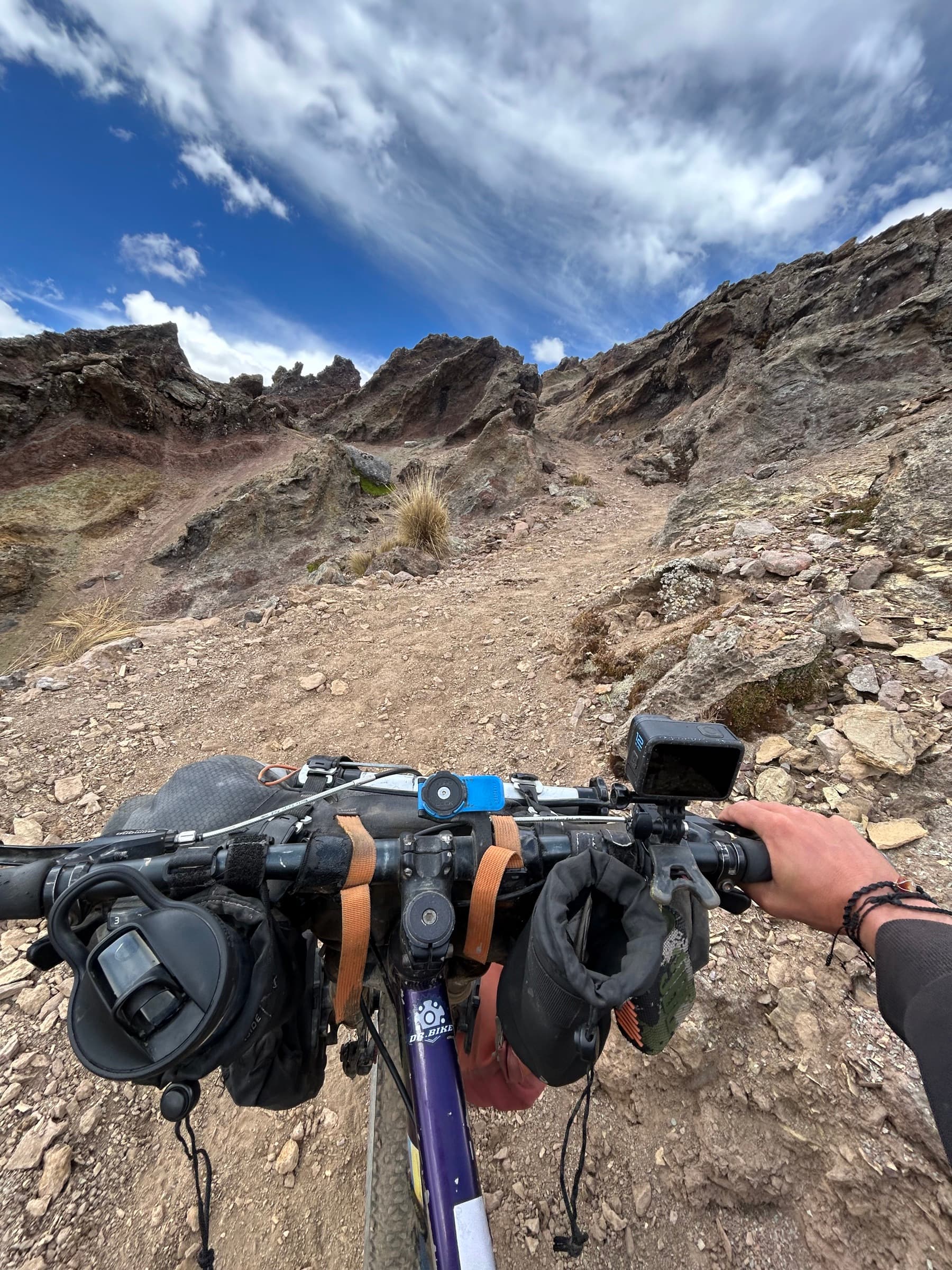
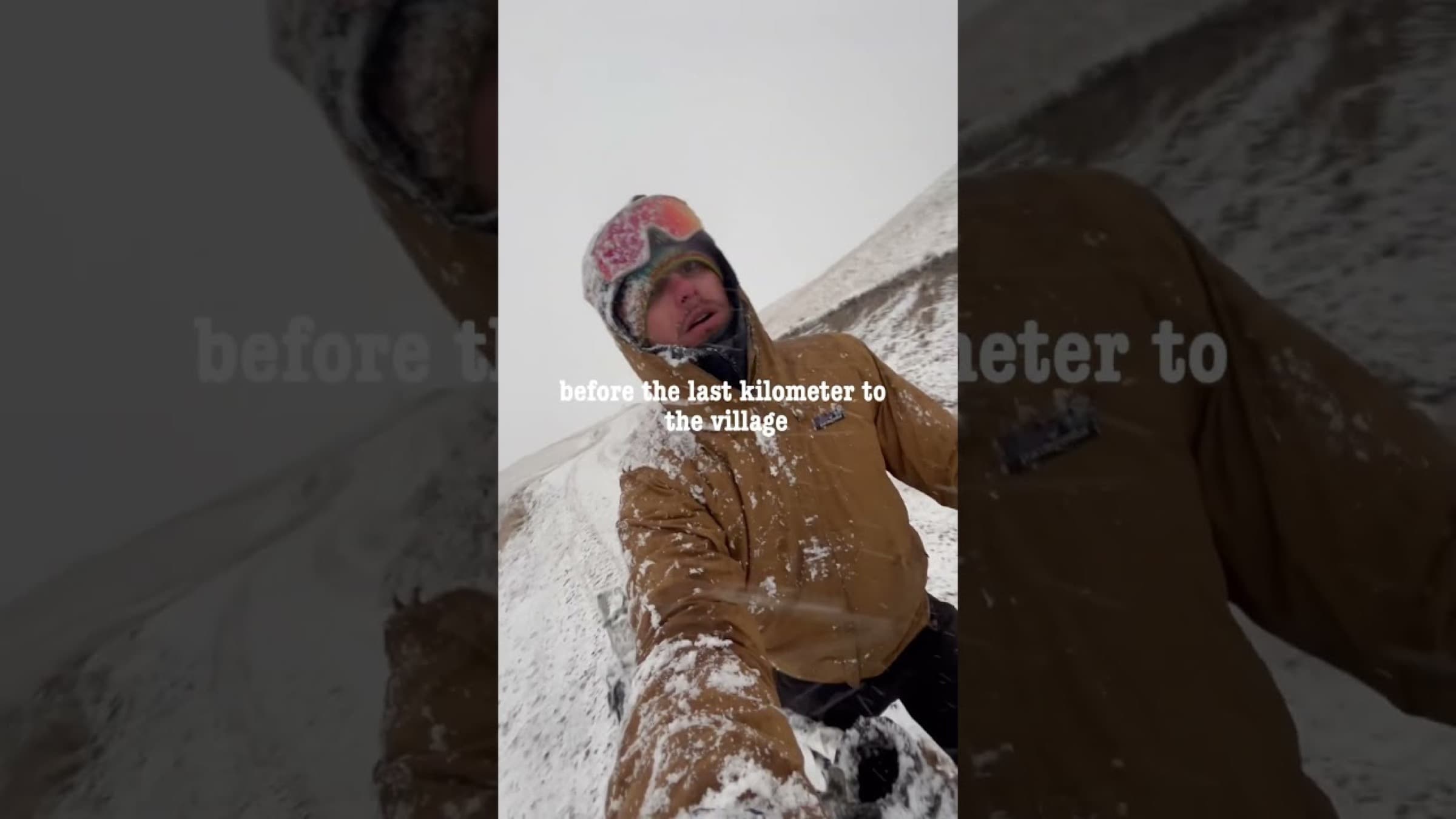
Soon afterwards we were buried in dense snow, and I, with fairly poor equipment for those conditions, landed in hospital a few days later on a drip with acute pneumonia.
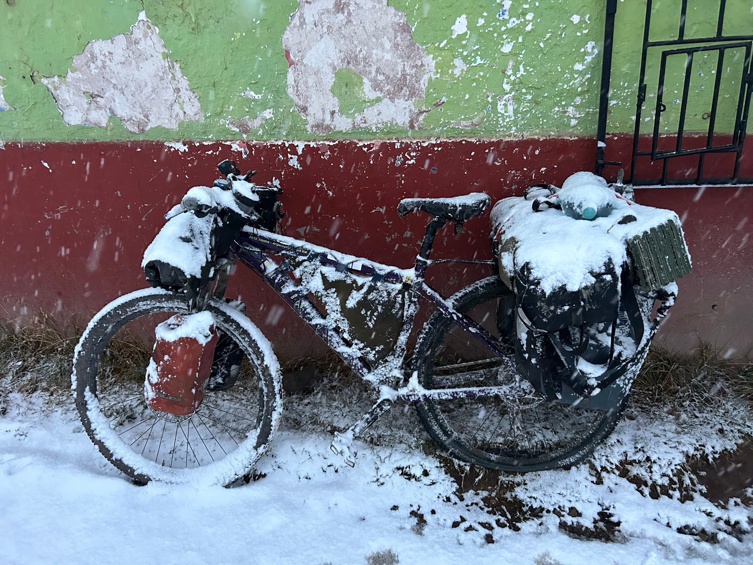
For three weeks I was unable to continue the journey.
To my surprise, though, it turned out that the hardest part of the expedition was already behind me. The Altiplano was beginning — a vast high plateau. I was still very high, but after months of constant climbing it was, at last… FLAT.
Fairly quickly I reached Lake Titicaca, and a few days later I crossed the border into Bolivia.
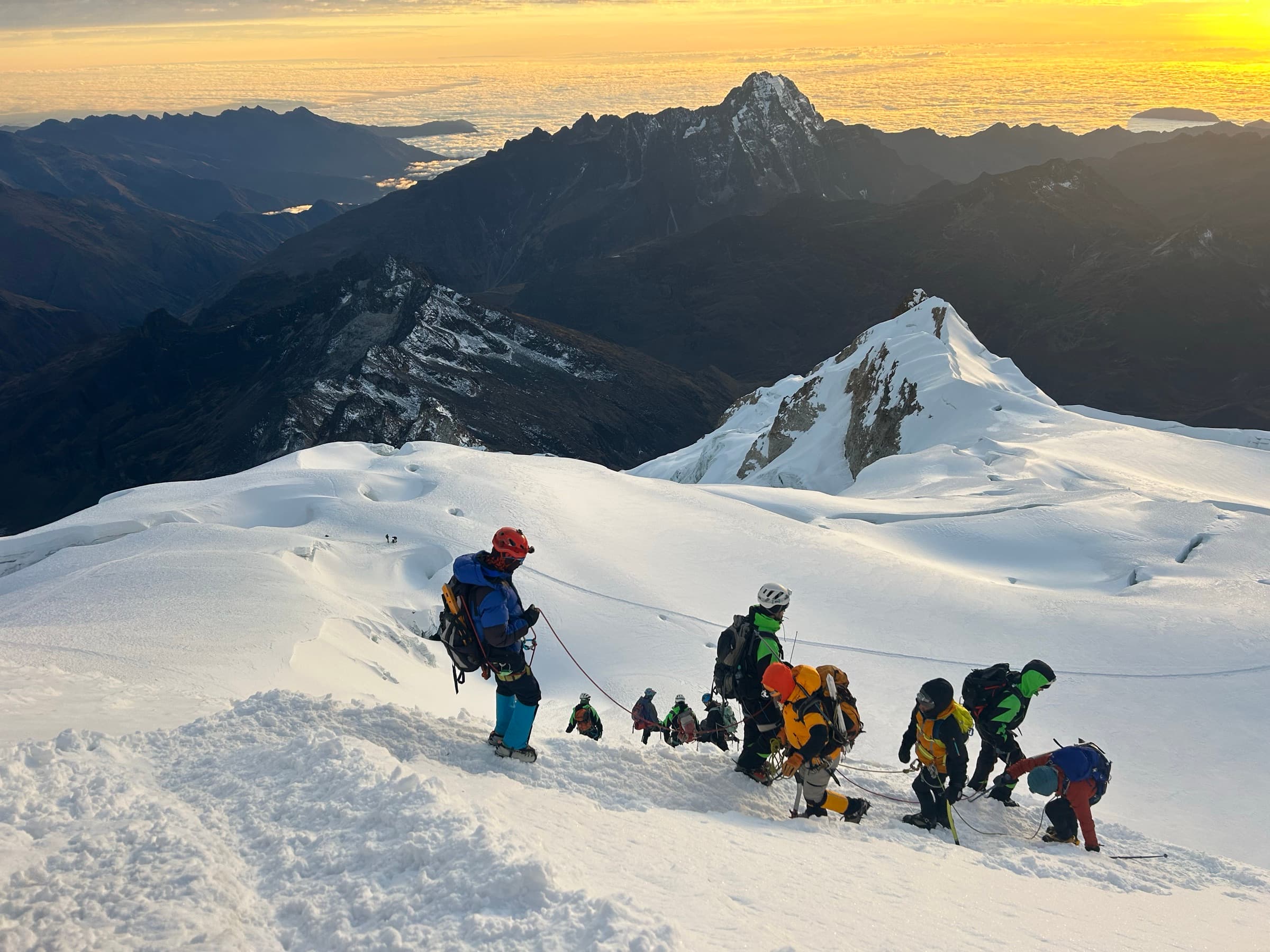
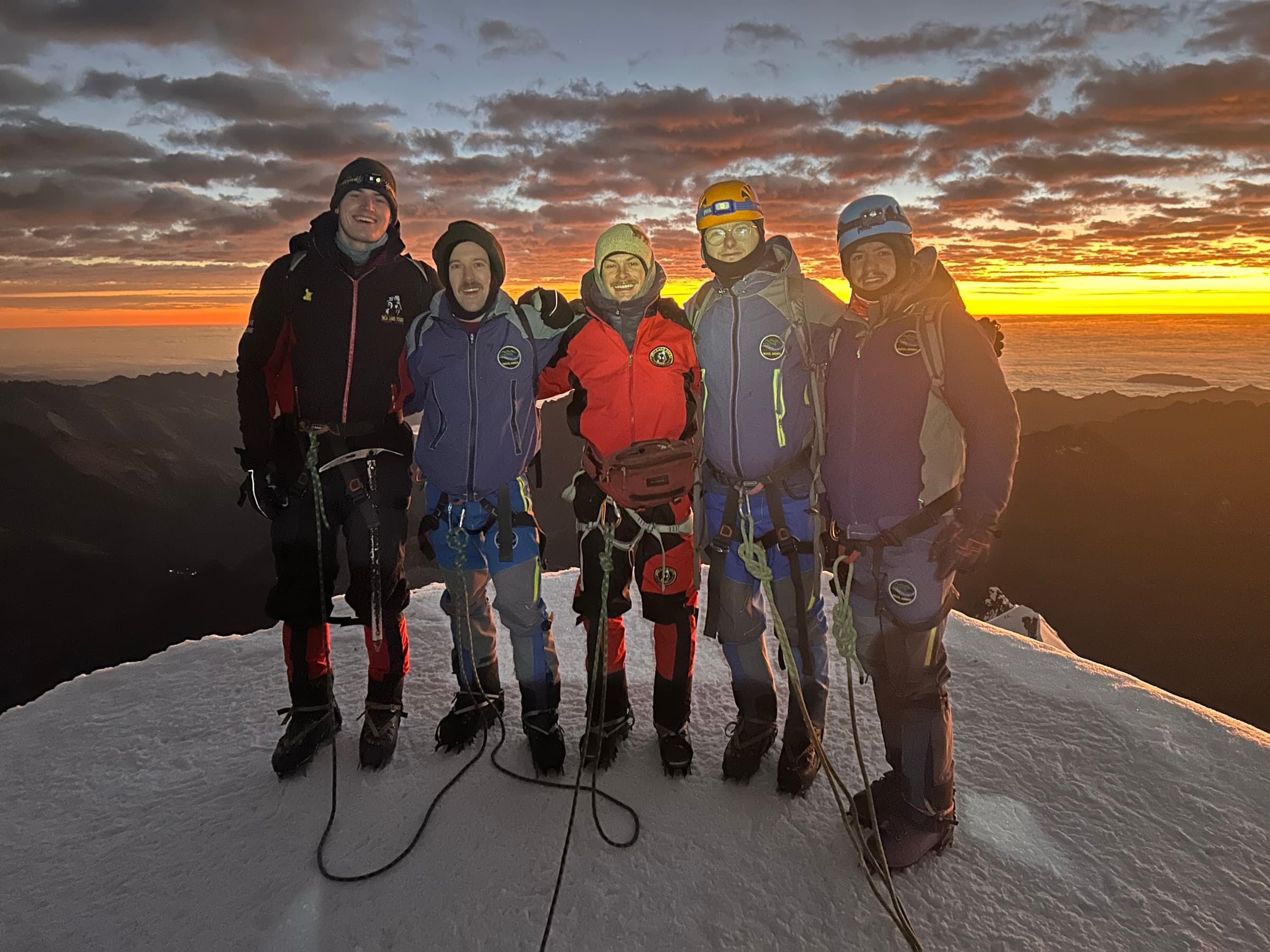
After reaching La Paz, inspired by a cyclist-alpinist I had met a moment earlier, I decided to climb my first six-thousander — Huayna Potosí.
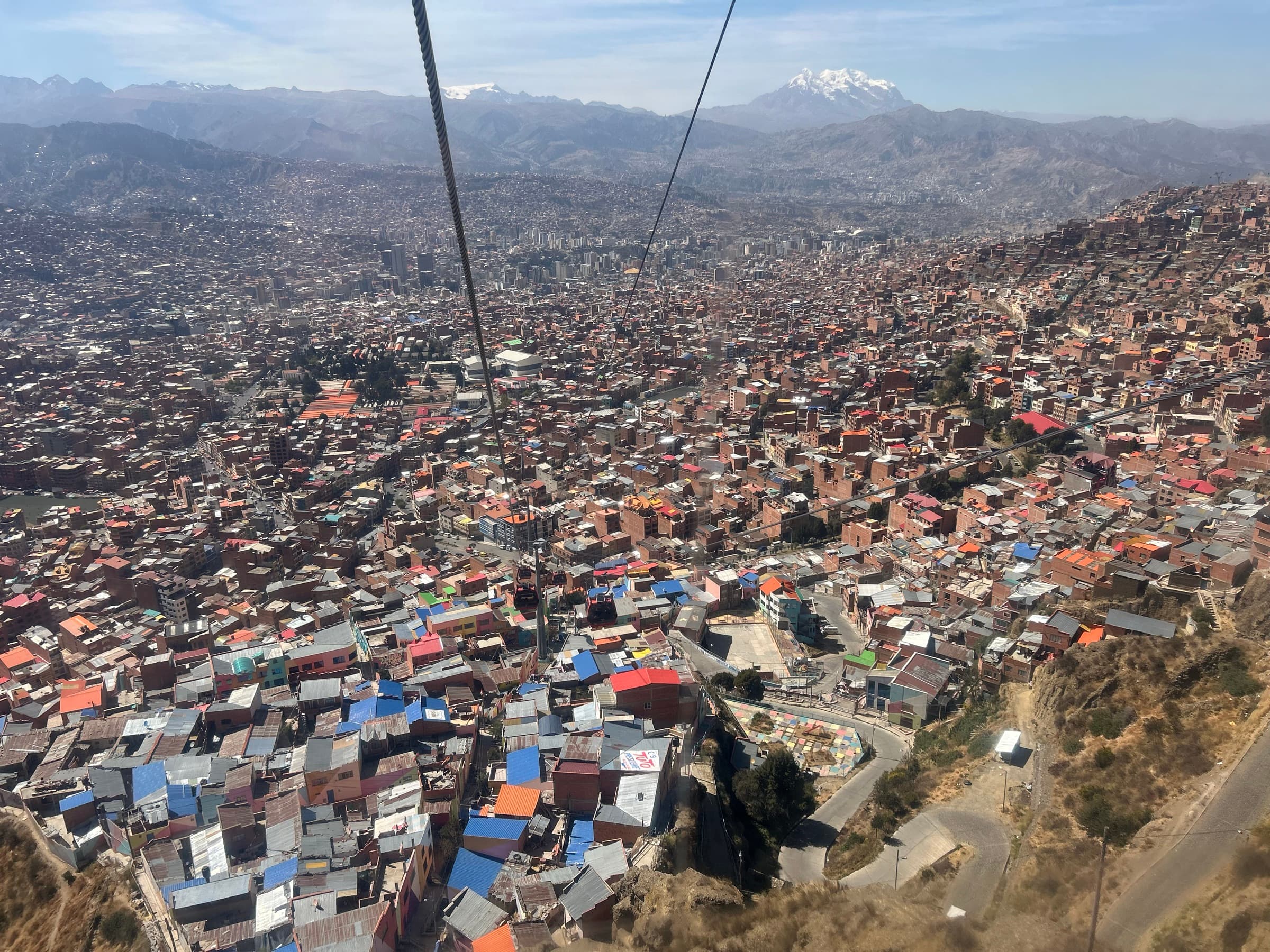
It was one of the most beautiful experiences of the whole journey. Interestingly, after months of pedalling a heavy bike at not much lower altitudes, the climb itself turned out to be surprisingly easy for me. That was the first time I really caught the bug for high mountains.
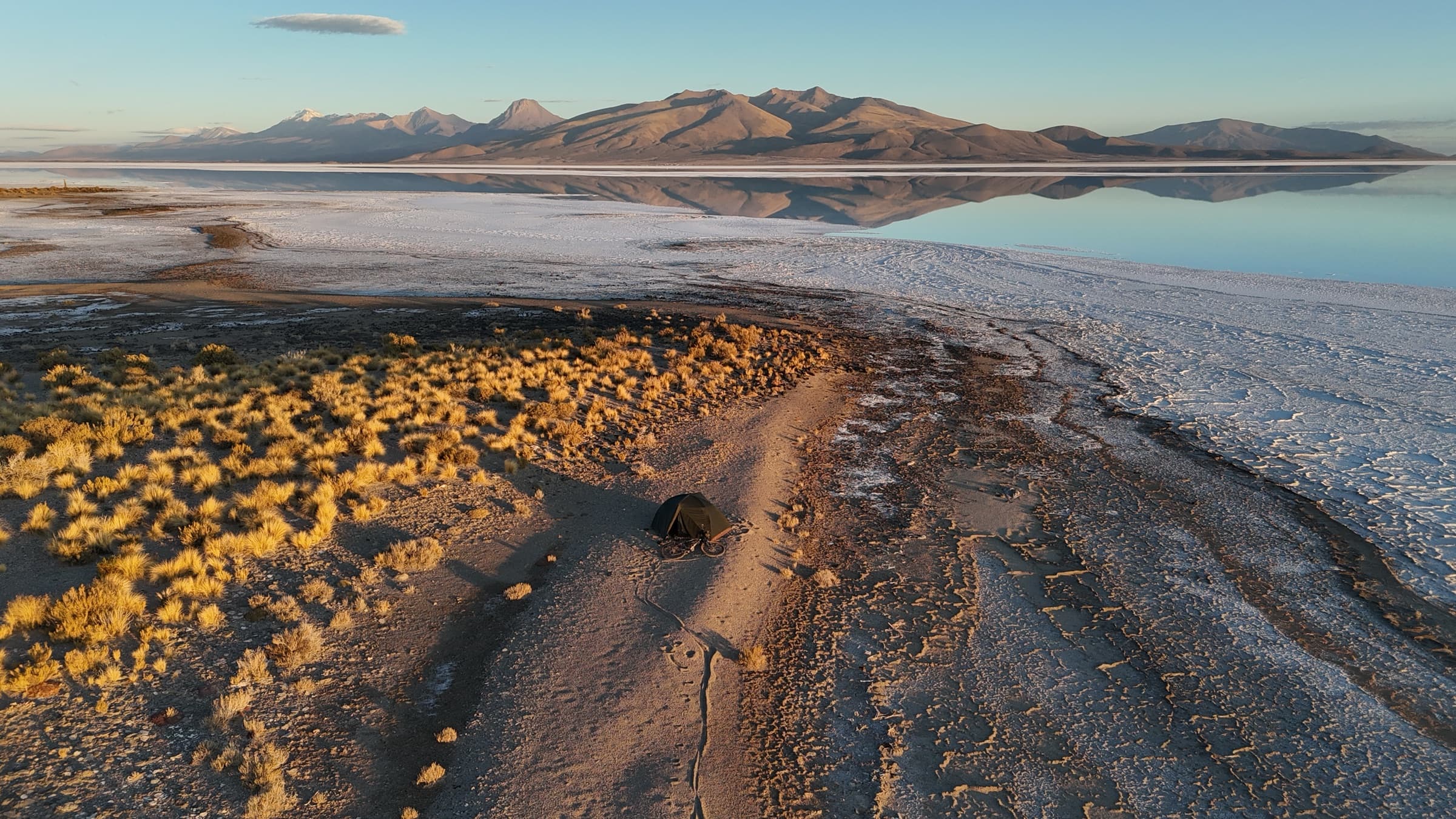
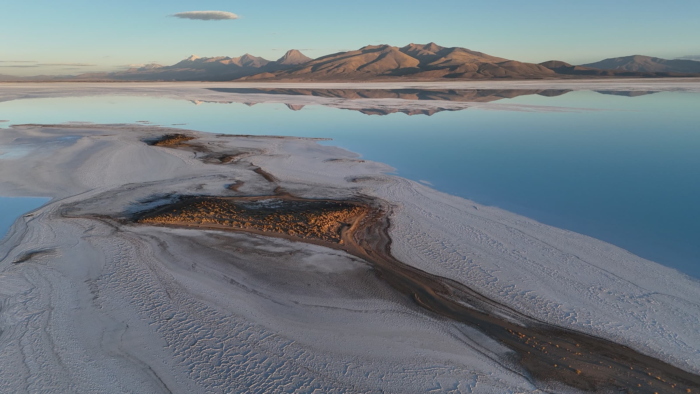
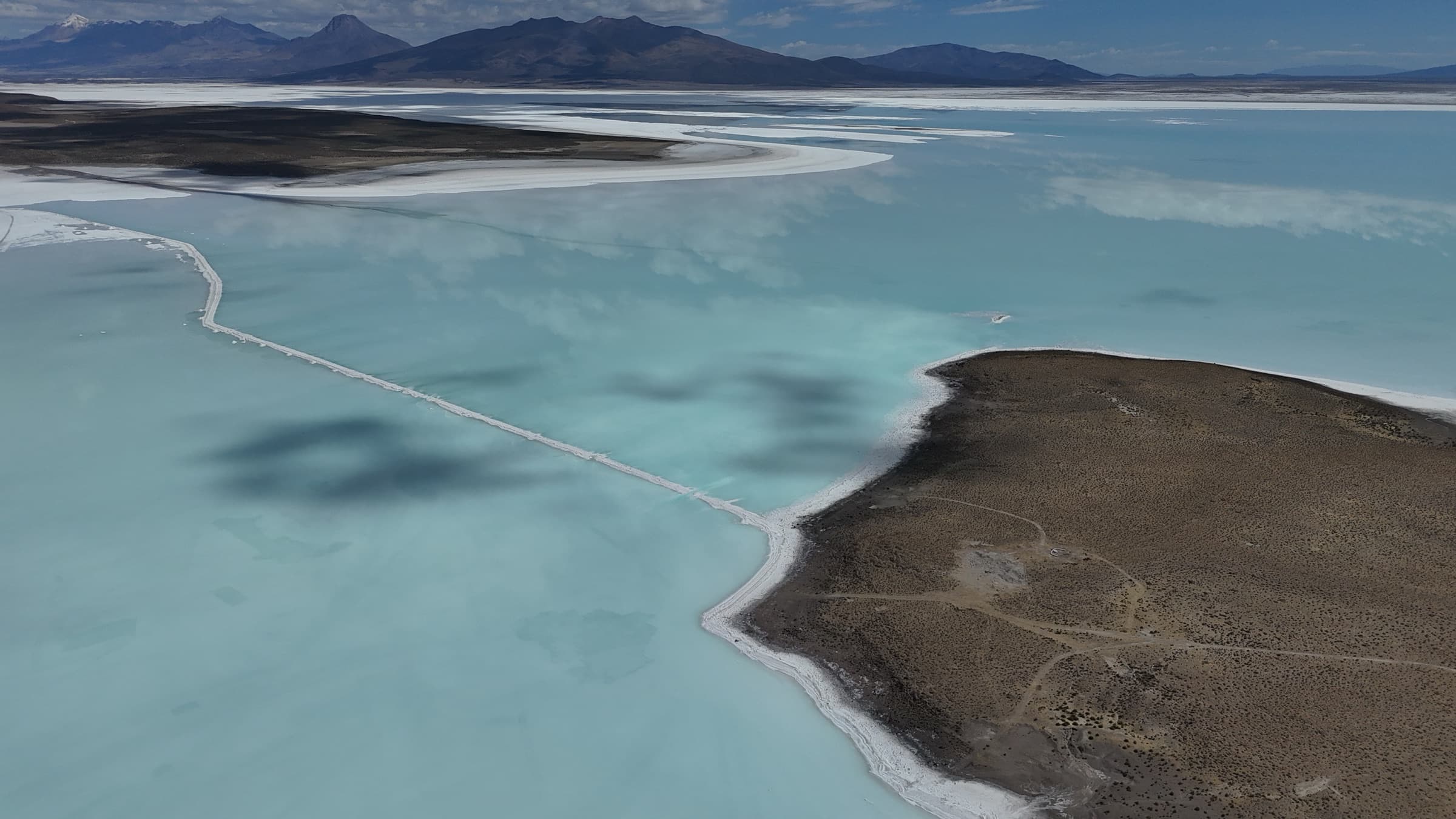
After a few weeks of recovery in La Paz I set off towards Salar de Uyuni — the largest salt flat in the world. I changed the route, though, so that I would also ride across its smaller neighbour, Salar de Coipasa.
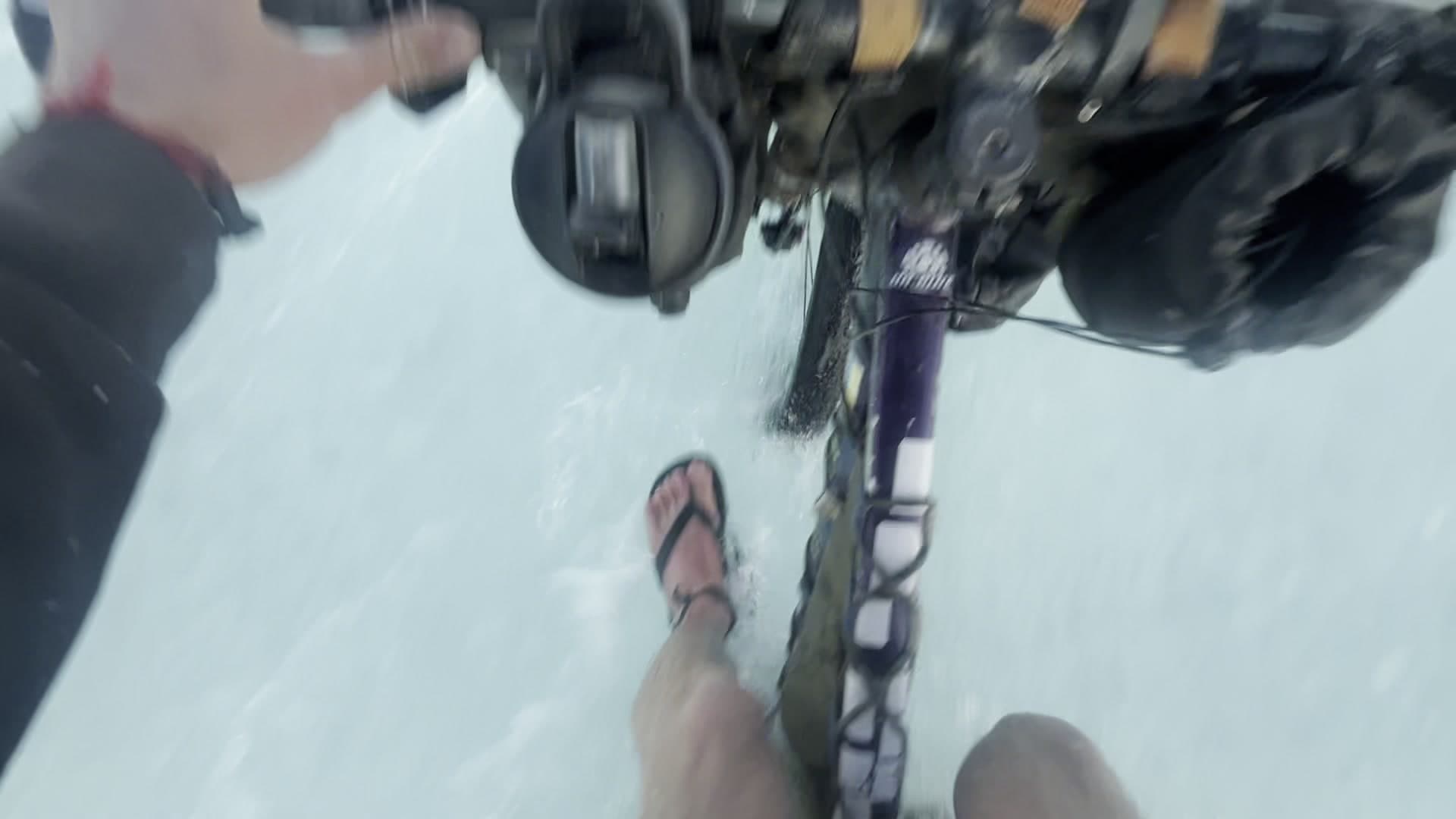
Paradoxically, Coipasa turned out to be the harder one. The amount of water on the surface made the crossing far more demanding than I had expected.
After riding the salt flats I had planned to reach Chile on a very demanding route known in the cycling world as Lagunas.
On the day of departure, though, there was a small accident. Fleeing an enraged dog, I rode into the back of a parked lorry. I was badly bruised, and the freehub on the bike cracked. Getting the right part in those conditions took about a week.
After all that I lost the last of my motivation for another extreme route and decided to take the asphalt road straight towards Argentina.
That is where I finally dropped off the Altiplano.
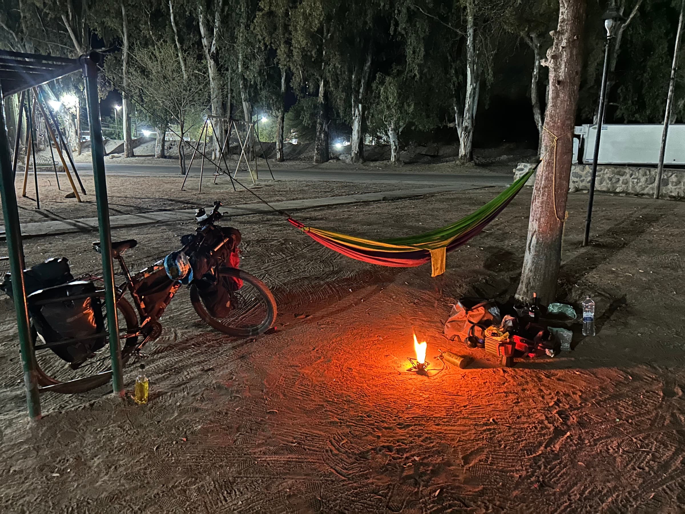
For the first time in several months I saw trees and felt the first warmer days of the Argentine spring. After months on an empty, cold plateau it was a true revival.
Of course another problem appeared quickly — the wind. At times it was so strong that riding on became practically impossible.
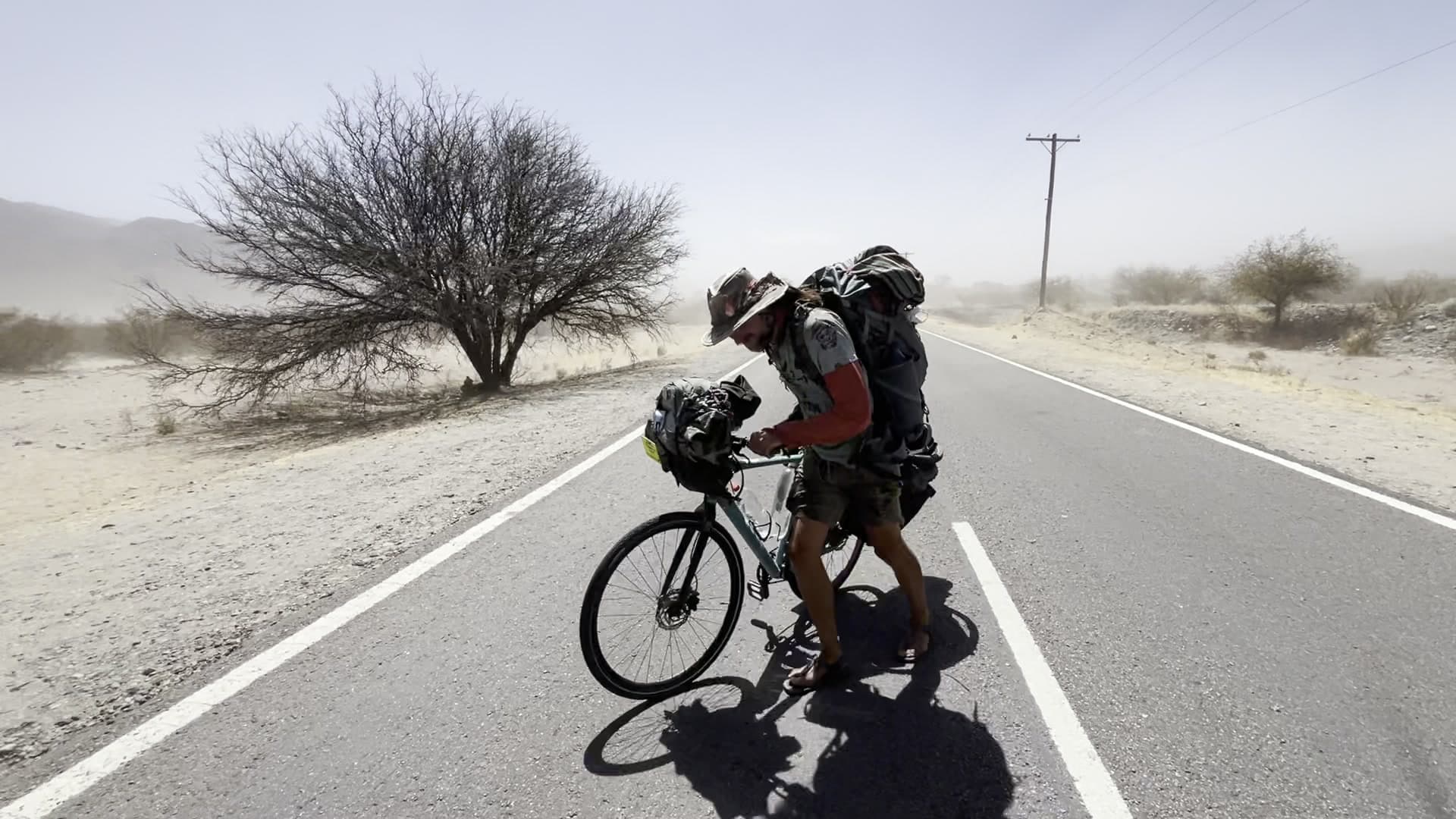
Somehow I still managed to reach Chile, and then Santiago, where I worked for almost a month as a volunteer in a hostel.
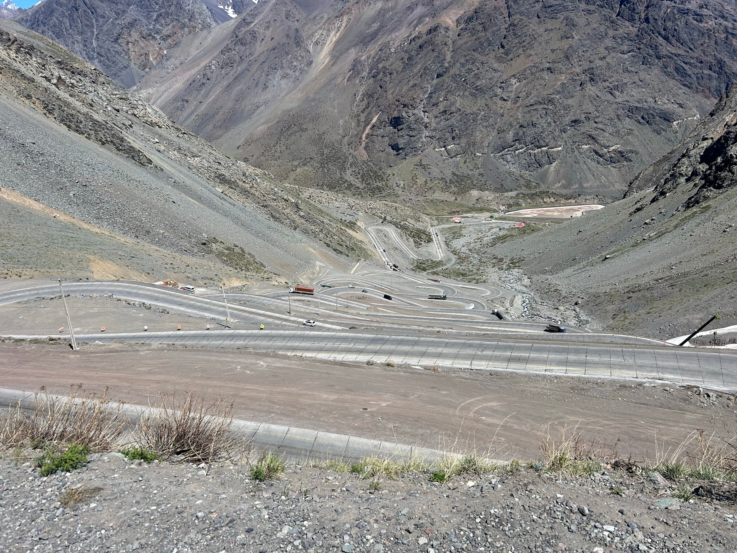
There I was joined by Marcin, my friend from Wrocław. Together we headed south, towards Patagonia. We spent Christmas in El Calafate, and after we parted I worked for another month as a ranger in a national park in Chile. That is also where I spent New Year 2026.
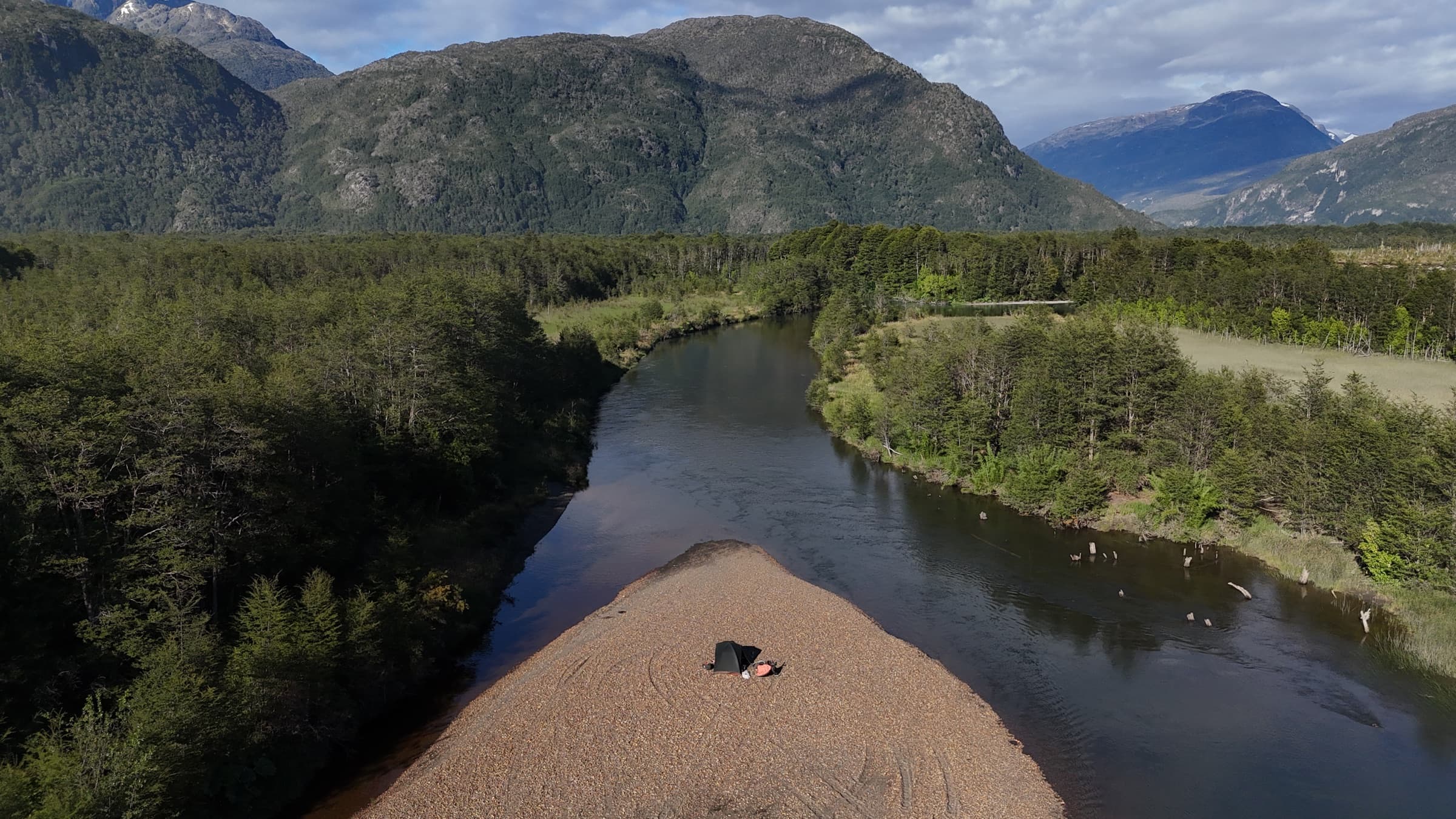
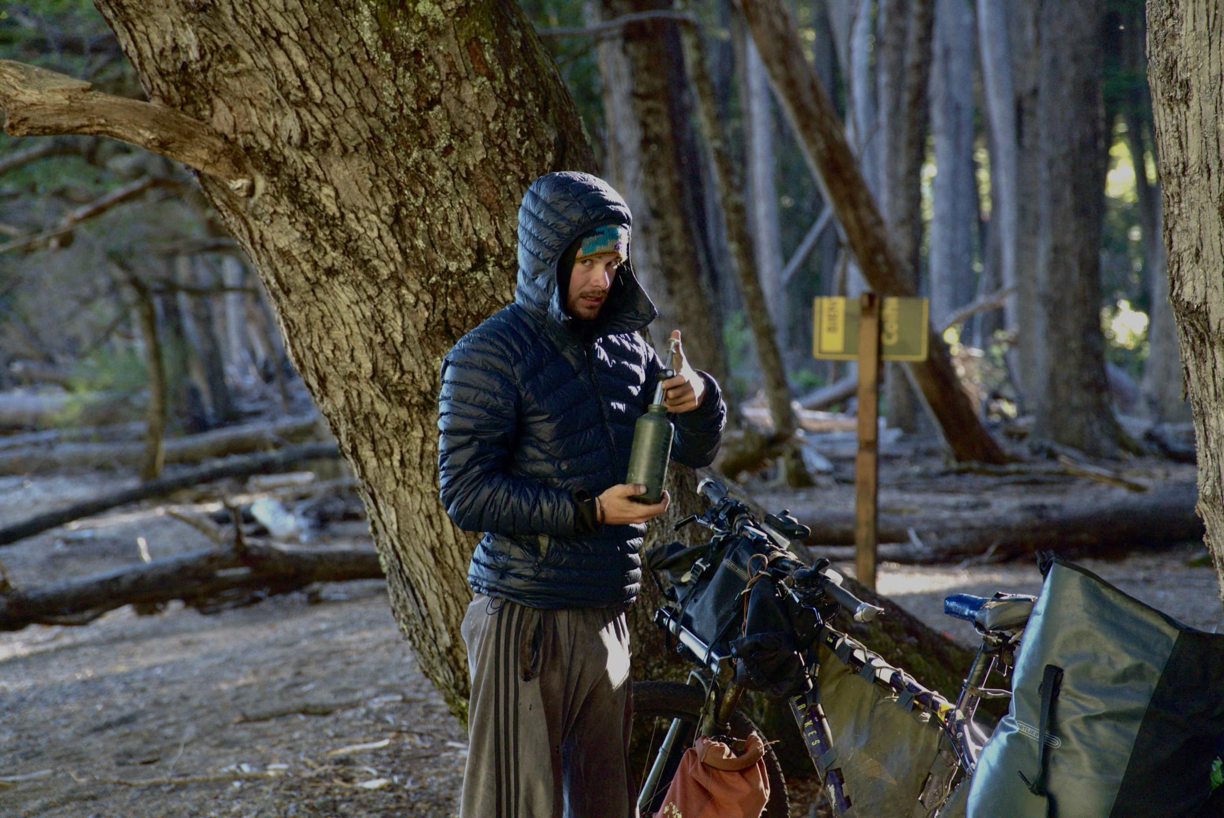
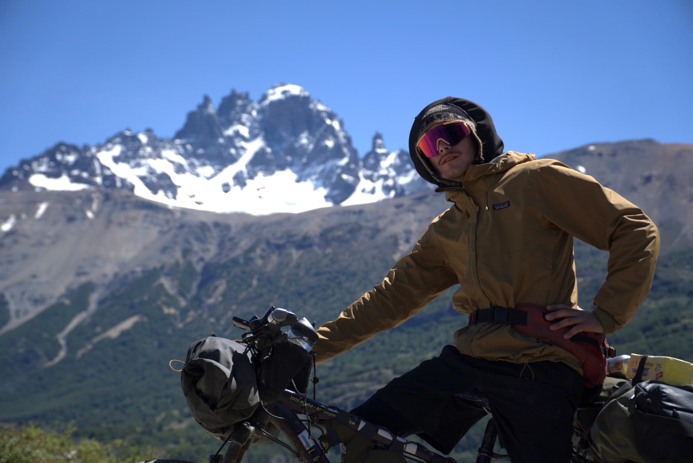
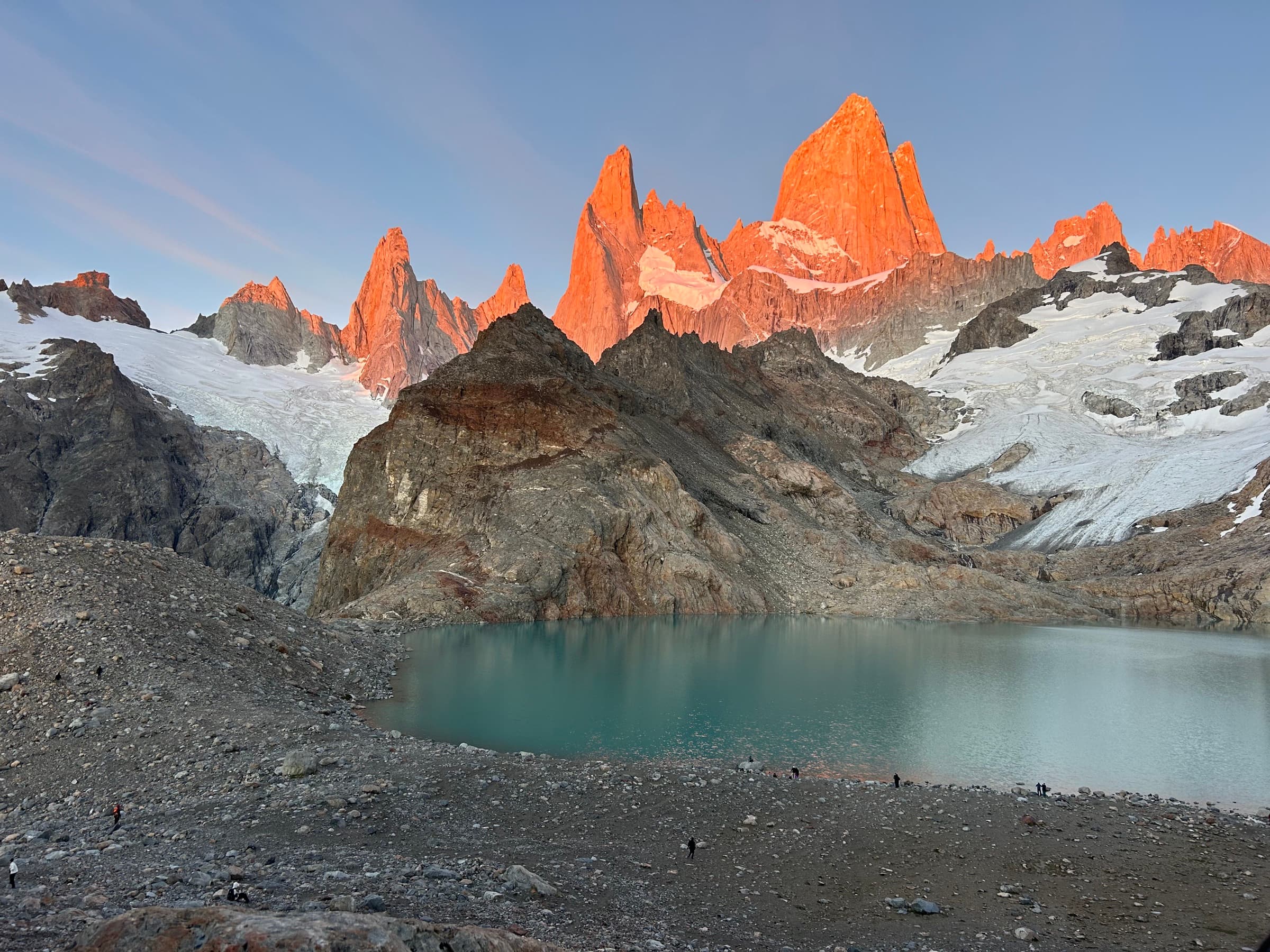
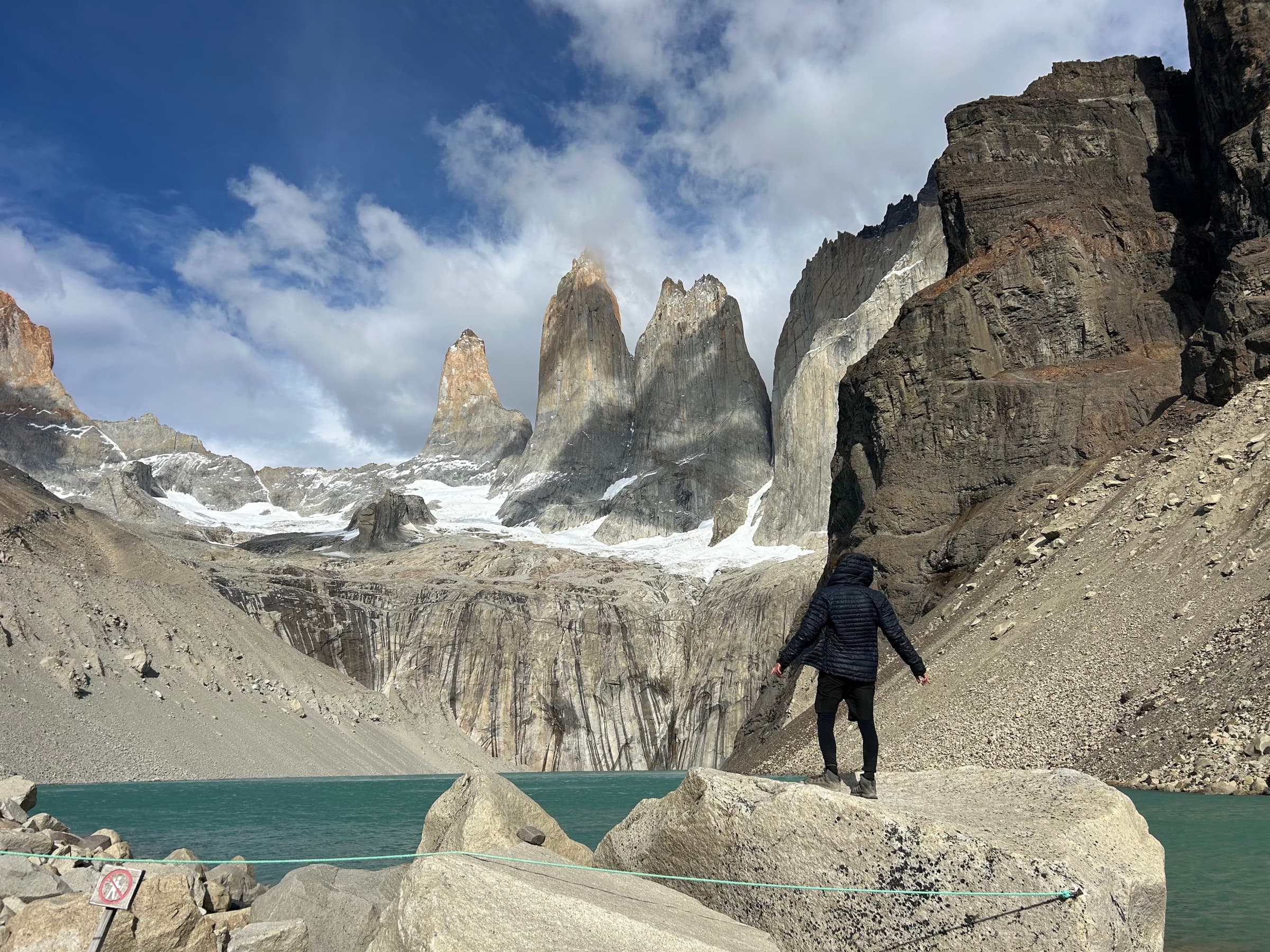
The last part of Patagonia, though, brought one of the most serious problems of the whole expedition — a knee injury.
For about a month it took me completely off the bike and forced me to find another job, this time in a hotel in Puerto Natales.
Even after a month I was unable to get back on the bike. In the end I reached my final destination — Ushuaia — by hitch-hiking.
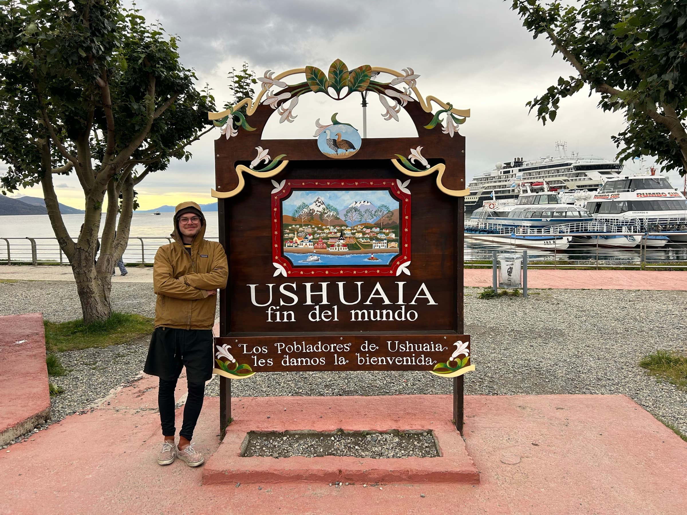
It was not yet the end of the journey, though.
I was offered a yacht passage from the Falklands to Brazil. The voyage lasted about two weeks and was another entirely new experience.
After reaching Brazil I got back on the bike and rode another roughly 2,000 kilometres.
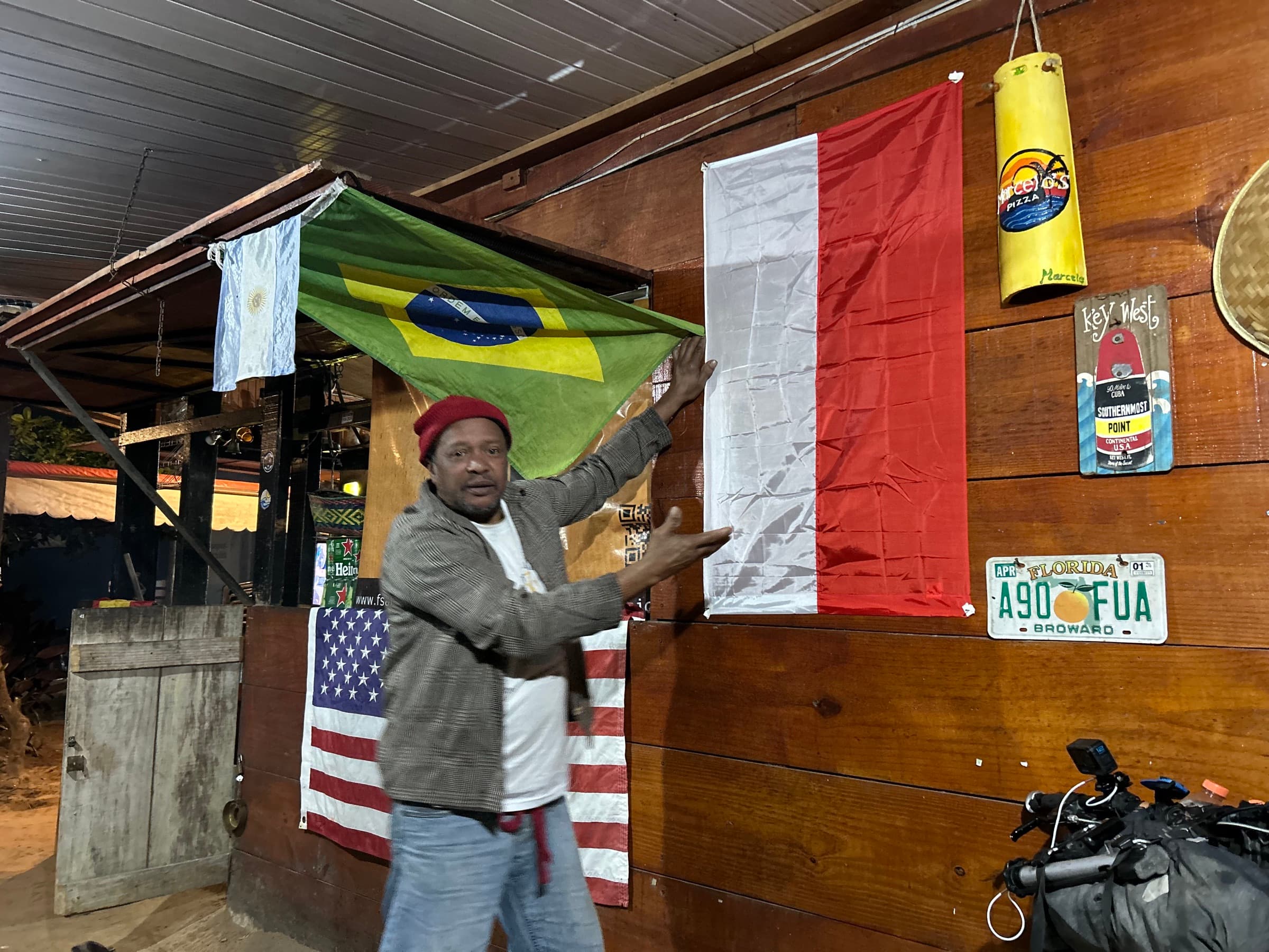
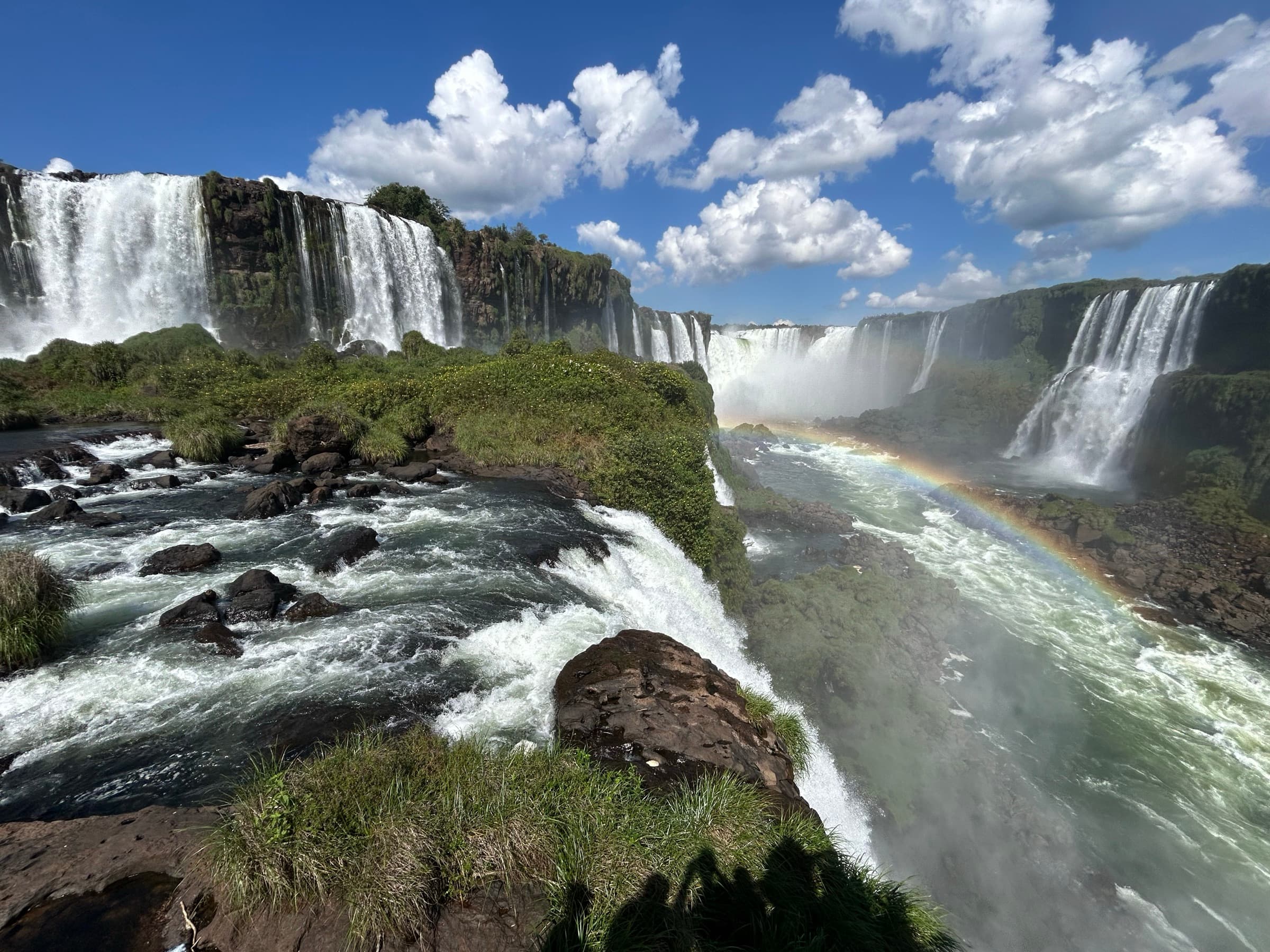
And only then did that journey really come to an end.
This is, of course, a heavily shortened version of the whole story. It does not include most of the people I met along the way, many absurd situations, problems, places I slept, things that went completely off plan, or the stories that stuck in my memory the most.
I will tell those in much more detail on my Patreon blog, where I will gradually publish further stories from the individual stages of this expedition.
If you want to get to know this journey a little more deeply than through a line drawn on a map — you are warmly invited.