Darién Gap
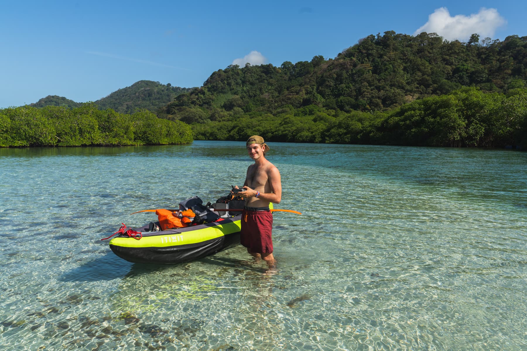
Crossing the Darién Gap by kayak was not something I had planned from the start of the journey. In fact, when I set out from Alaska, I do not think I even knew there was a place I would not be able to cross by bicycle.
The idea of using a kayak came partly from my resistance to using motorised transport during this journey. After travelling so many thousands of kilometres entirely under my own power, I did not want to suddenly put the bicycle on a plane or boat simply because the road had ended.
Not long after learning about the Darién Gap, I came across the story of Iohan Gueorguiev, a true legend of bikepacking and slow travel who had crossed this stretch by packraft several years earlier. I thought that, if someone had already shown it could be done this way, perhaps I should try too.
There was just one problem: I had practically no experience of sea kayaking.
That was why, from the beginning, I wanted to find a companion for this part of the journey. It proved much harder than it might sound. It is difficult to find someone who has several weeks free, enough money, a way to reach Panama and enough courage, or madness, to climb into an inflatable kayak and paddle towards Colombia.
Fortunately, while riding the “Trans Mex Sur” route in southern Mexico, I met Zach. He was the only person who not only showed a genuine interest in the idea, but had already been thinking about it himself.
We first spoke about making the crossing together about eight months before it actually began.
At last, the time came.
At the end of January, after many months of talking, planning and sending each other one idea after another, we met again in Panama City.
Two fairly important questions still remained: what exactly would we use to make the crossing, and where would we begin?
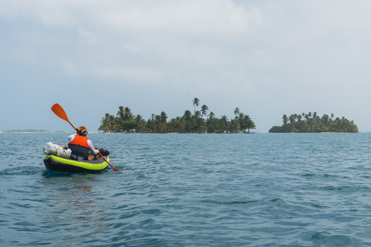
In the end, we chose relatively inexpensive inflatable kayaks from Decathlon. Our first plan was to begin the crossing on the Chagres River, only about 40 kilometres from Panama’s capital.
And that is what we did.
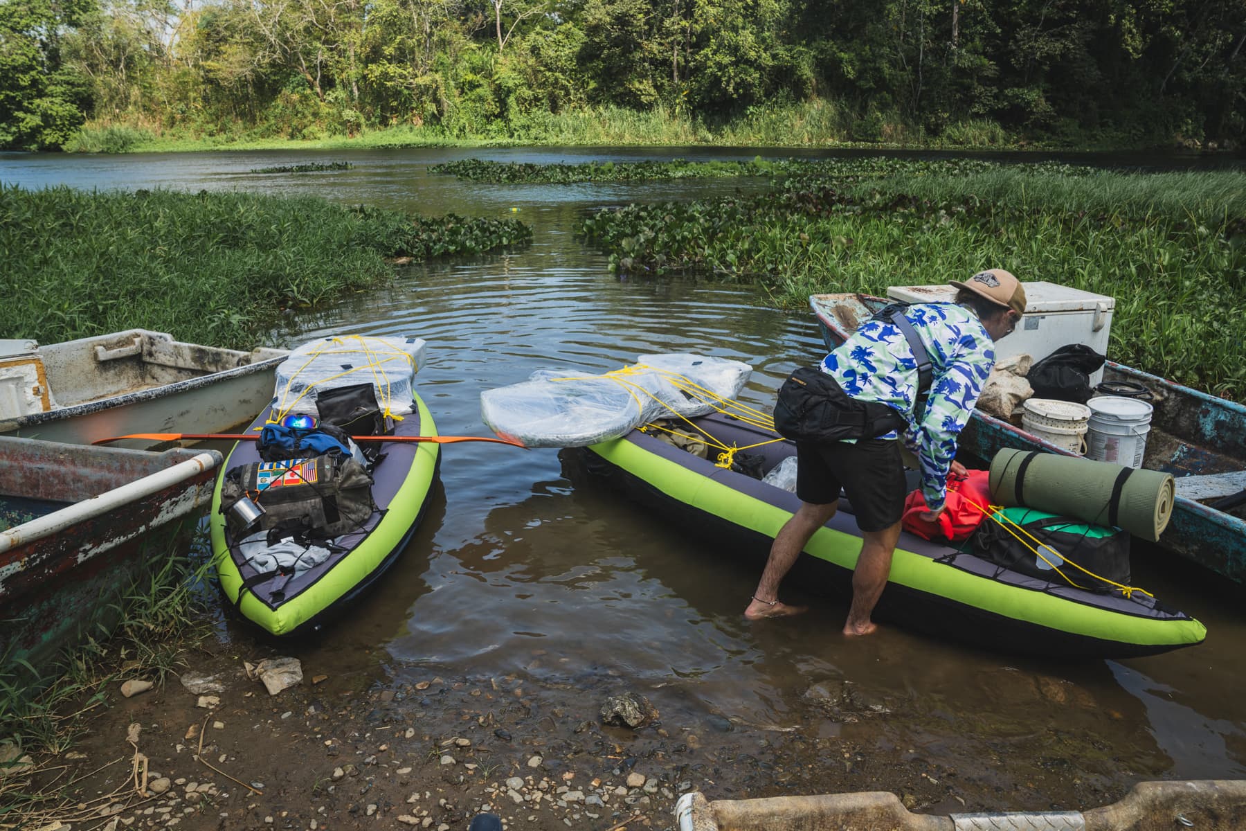
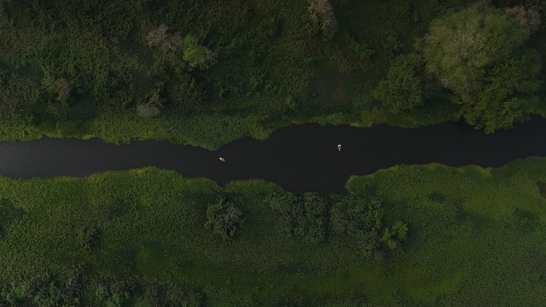
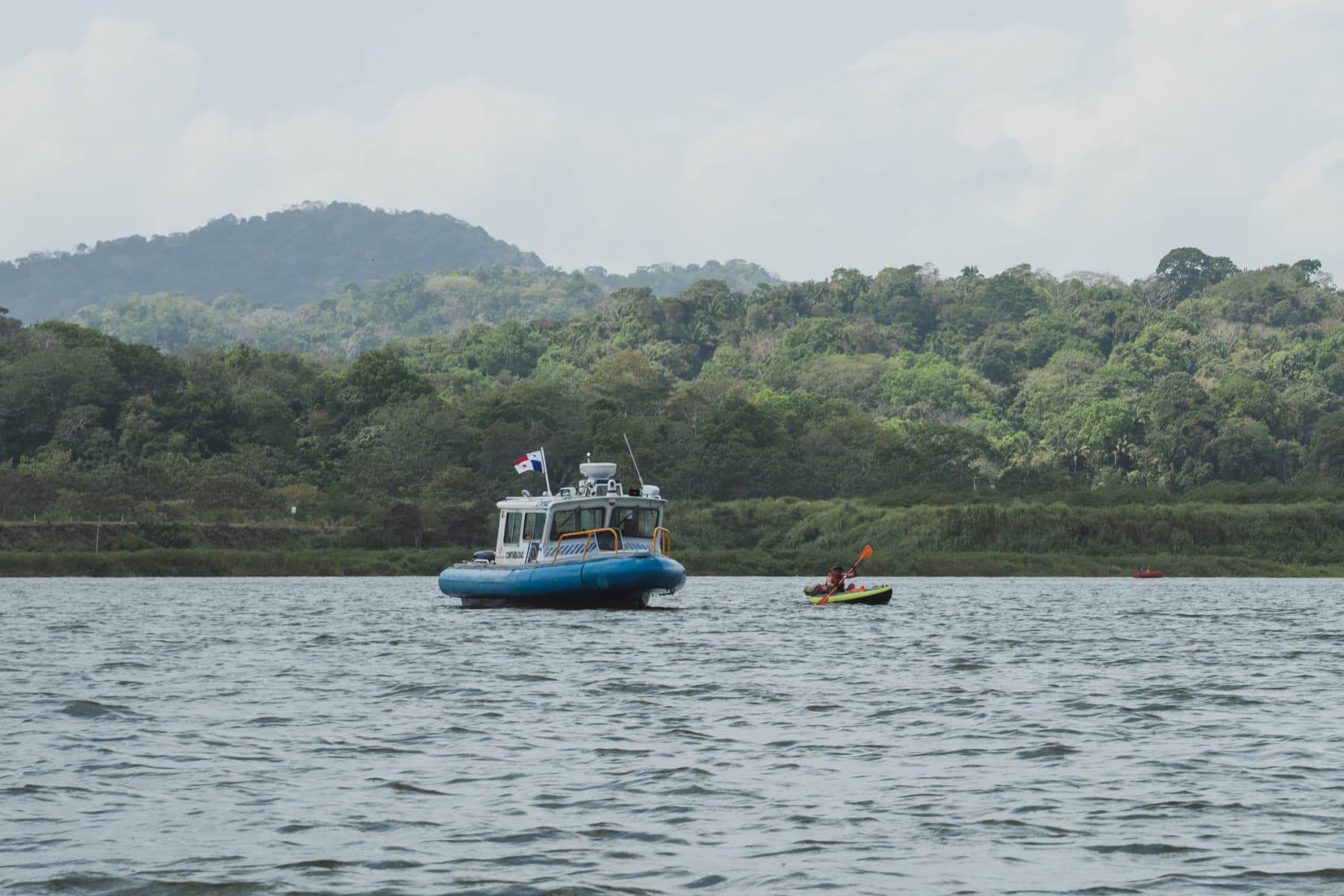
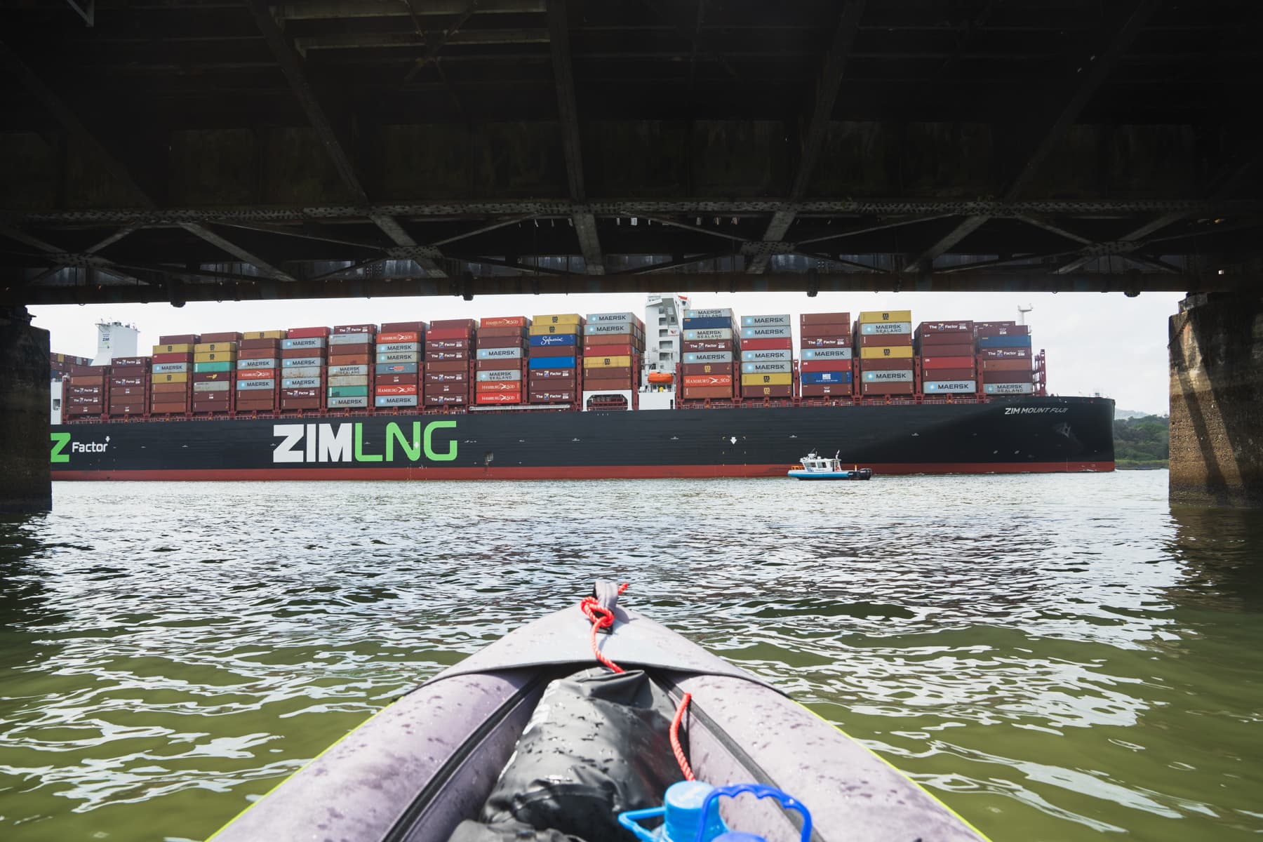
Soon afterwards, we were in Gamboa, where the river meets the Panama Canal. We were not sure whether we could legally paddle through it, but the answer came very quickly. After about ten minutes on the water, the police appeared and threw us out of the canal.
As it turned out, that was only the beginning of our problems.
Altogether, we made four separate attempts to start the journey from three different places. Every time, something was wrong: the regulations, the conditions, access to the water or the route itself. I will say more about that in the YouTube films, because the story of those attempts easily deserves a film of its own.
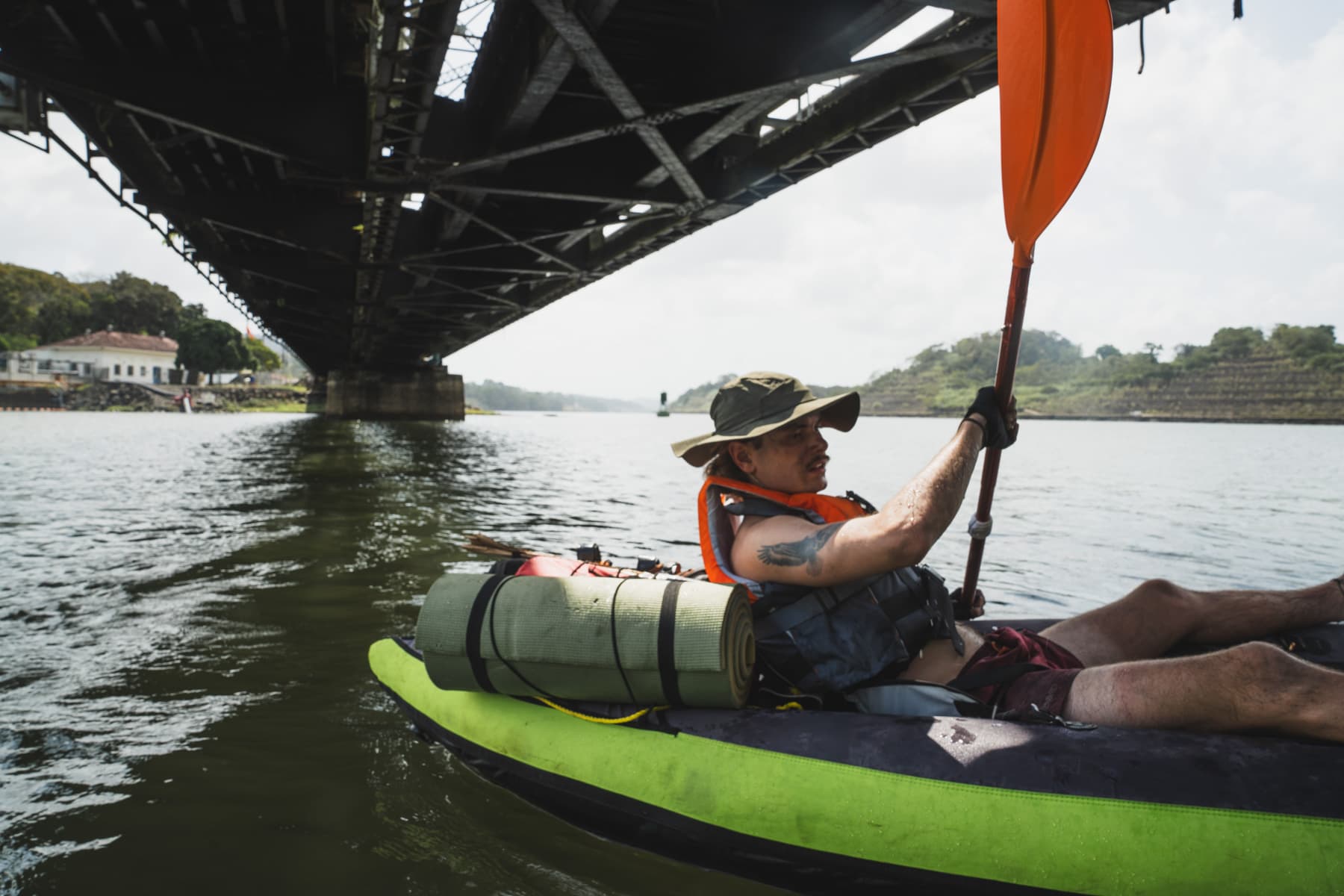
Eventually, after a series of trials and errors, we reached Puerto Lindo. There, the waters of the Caribbean Sea are well protected by extensive coral reefs, which considerably reduce the size of the waves near the coast.
That was where we officially began what was probably the wildest adventure of my entire three-year journey.
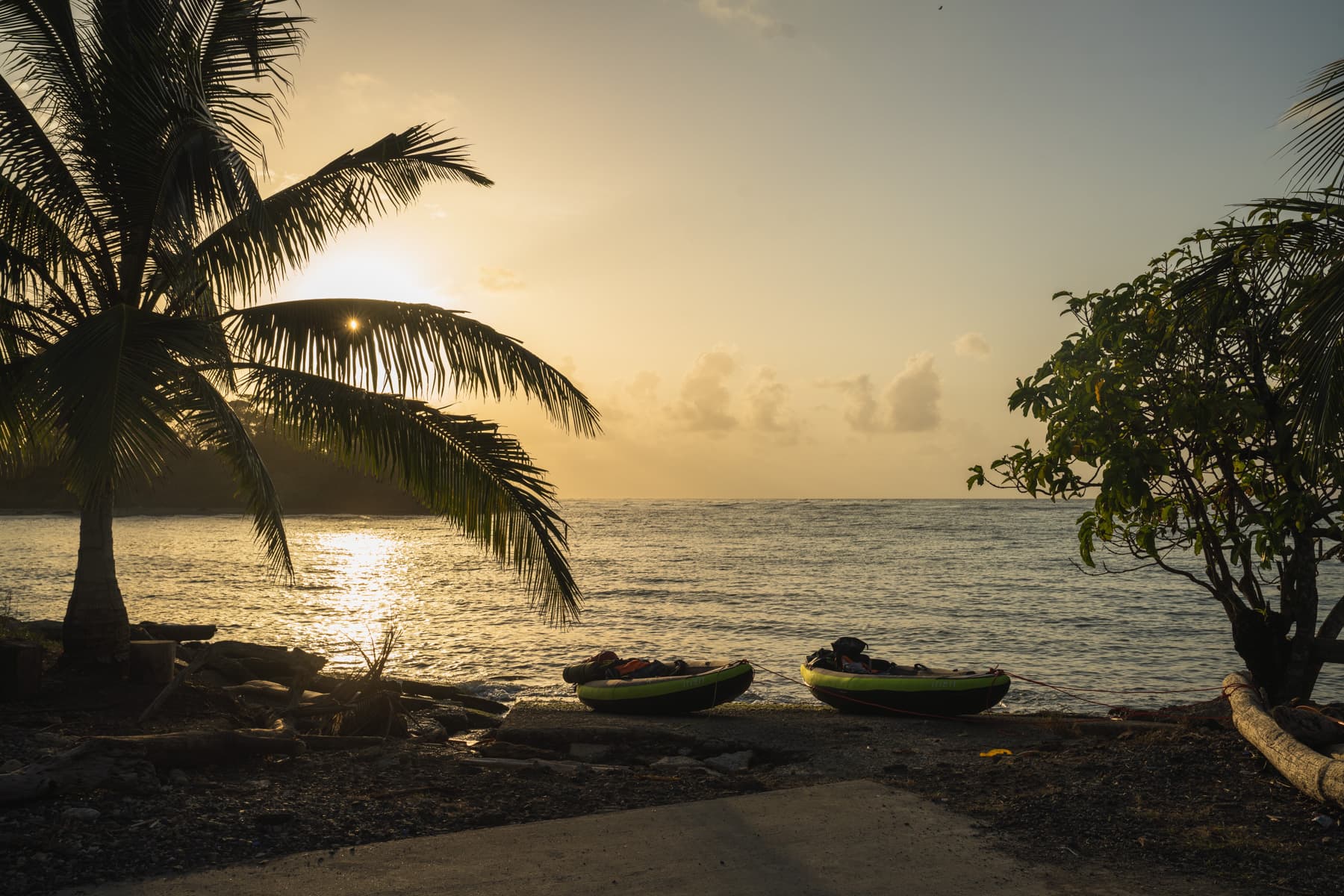
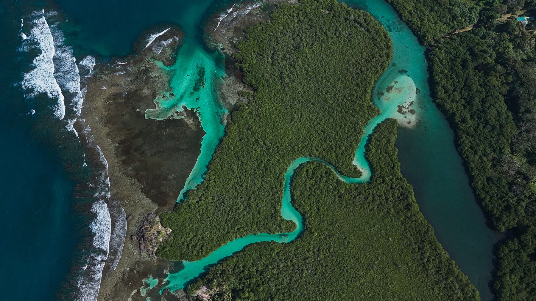
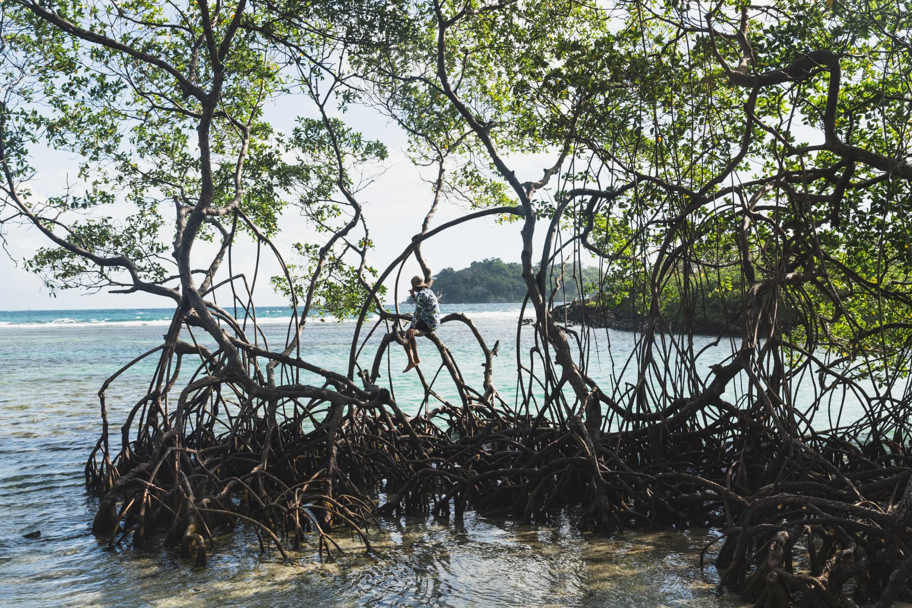
At first, we paddled past many Panamanian villages and luxurious “paradise resorts”. We were still relatively close to civilisation, and roads connected most of these places with the rest of the country.
One place I remember particularly well from this stage was Playa Paraiso.
There was a luxury hotel in a beautiful setting beside a beach teeming with life. In the surrounding area, you could see sea turtles, colourful parrots, monkeys, crocodiles and all sorts of other animals.
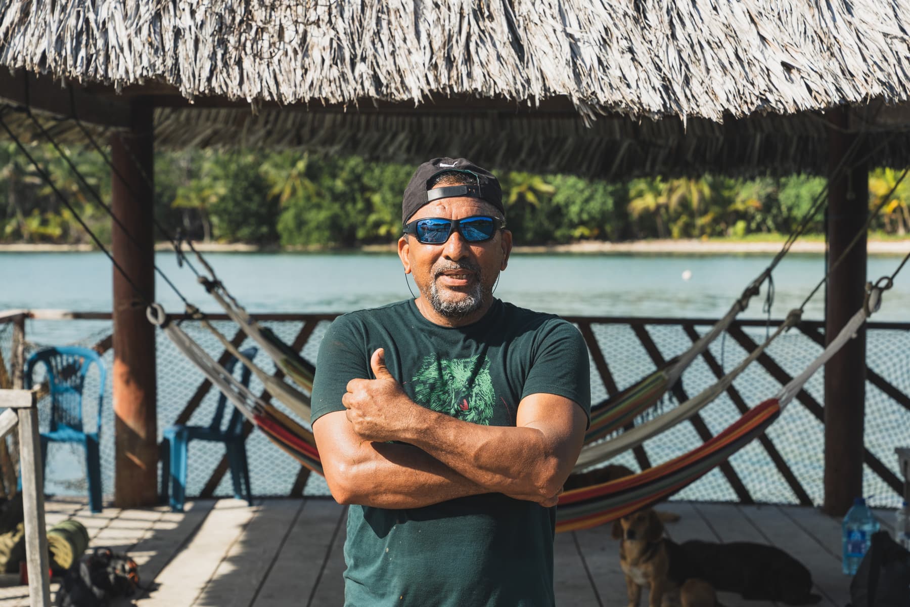
Domingo looked after the resort.
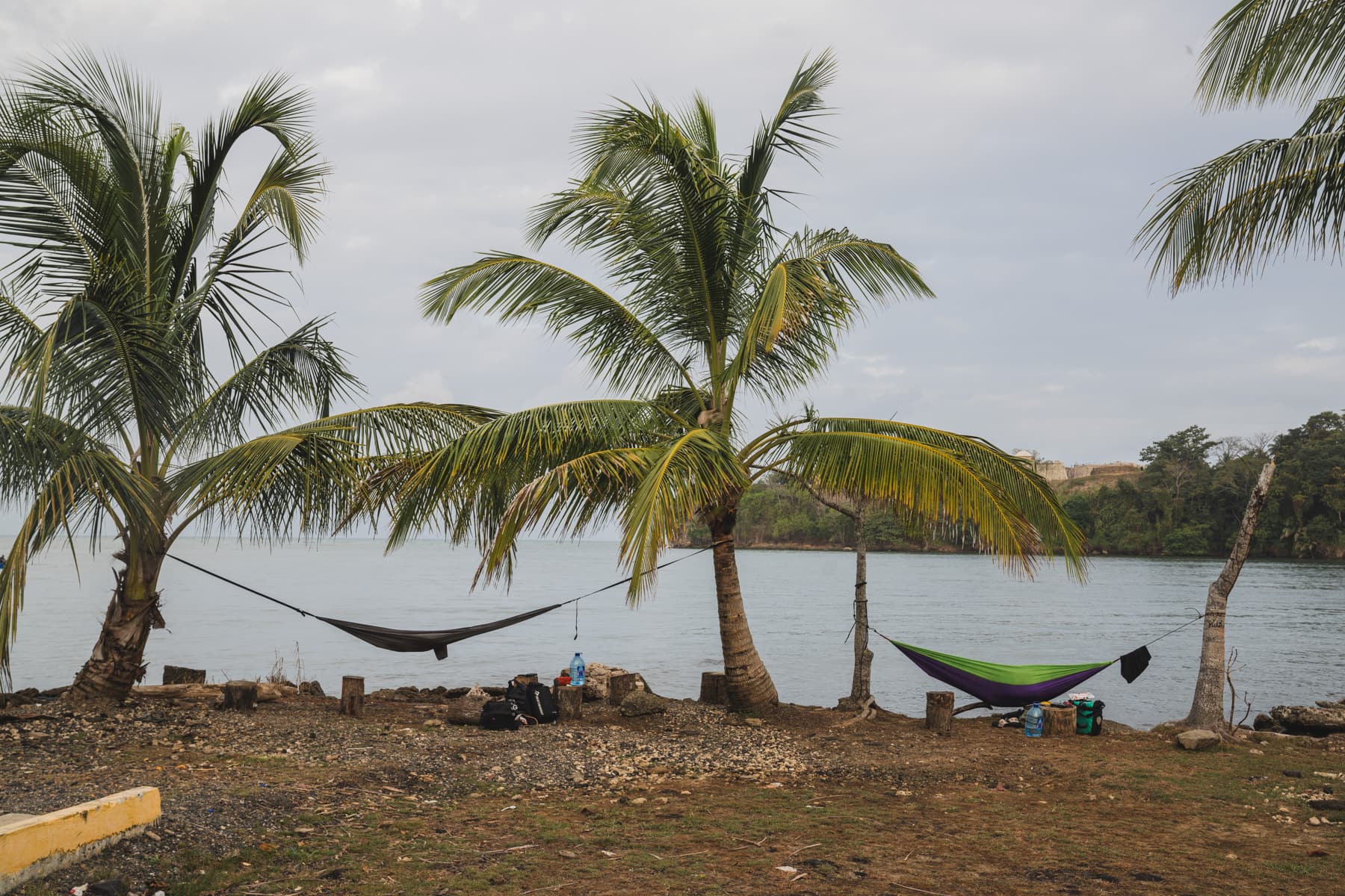
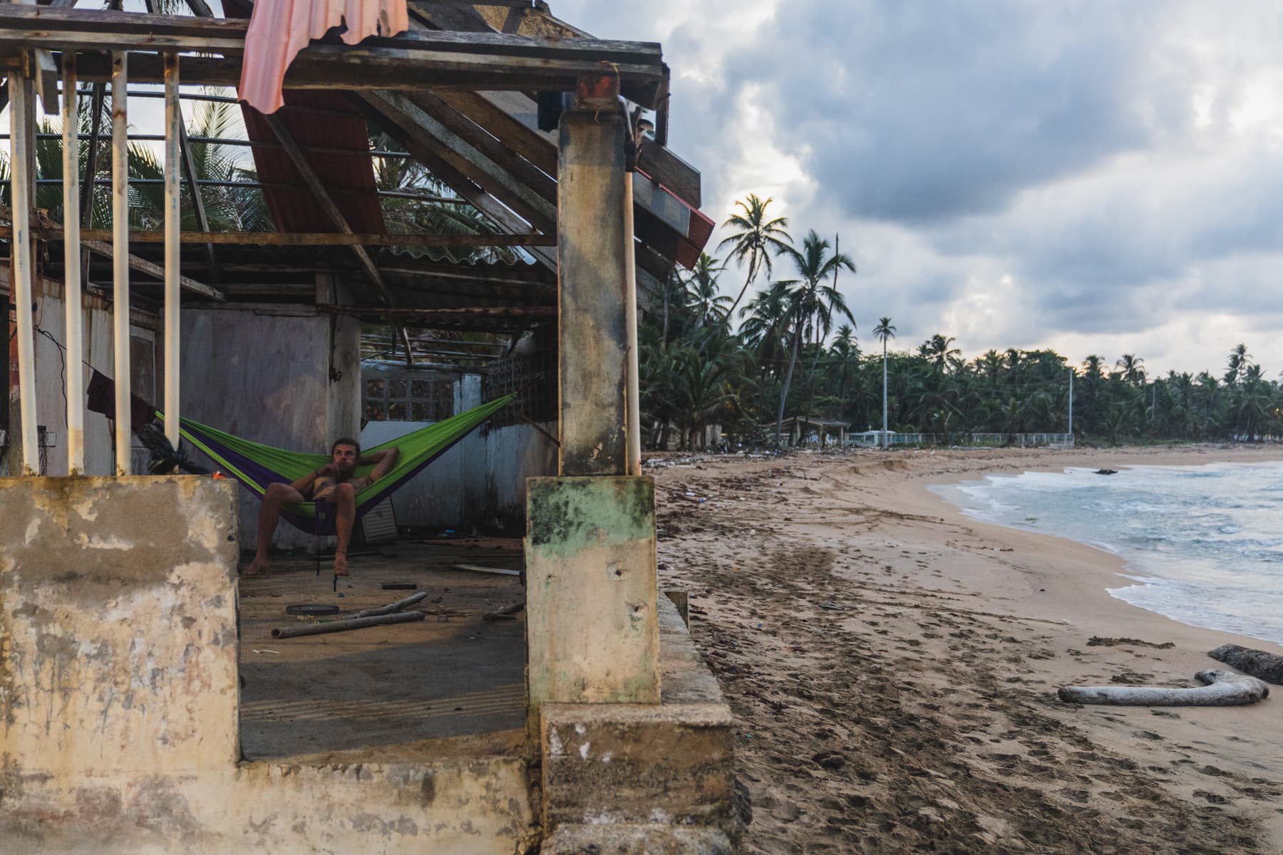
When we arrived, the hotel turned out to be completely empty. There were no guests, so Domingo welcomed us with open arms. He showed us around the entire grounds, pointed out a good place to hang our hammocks and, that evening, gave us a bag of fresh langostinos and taught us how to cook them.
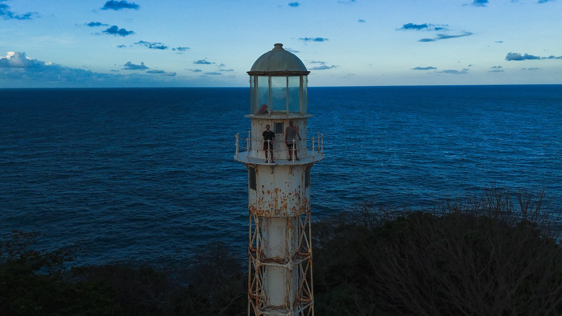
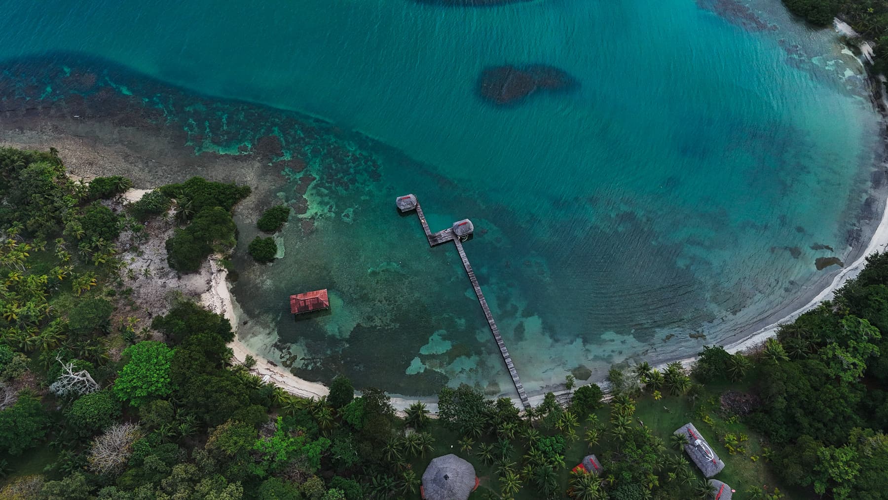
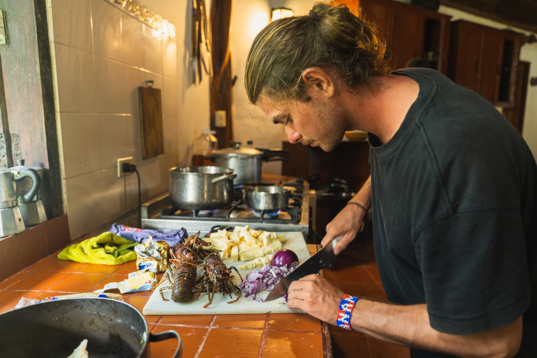
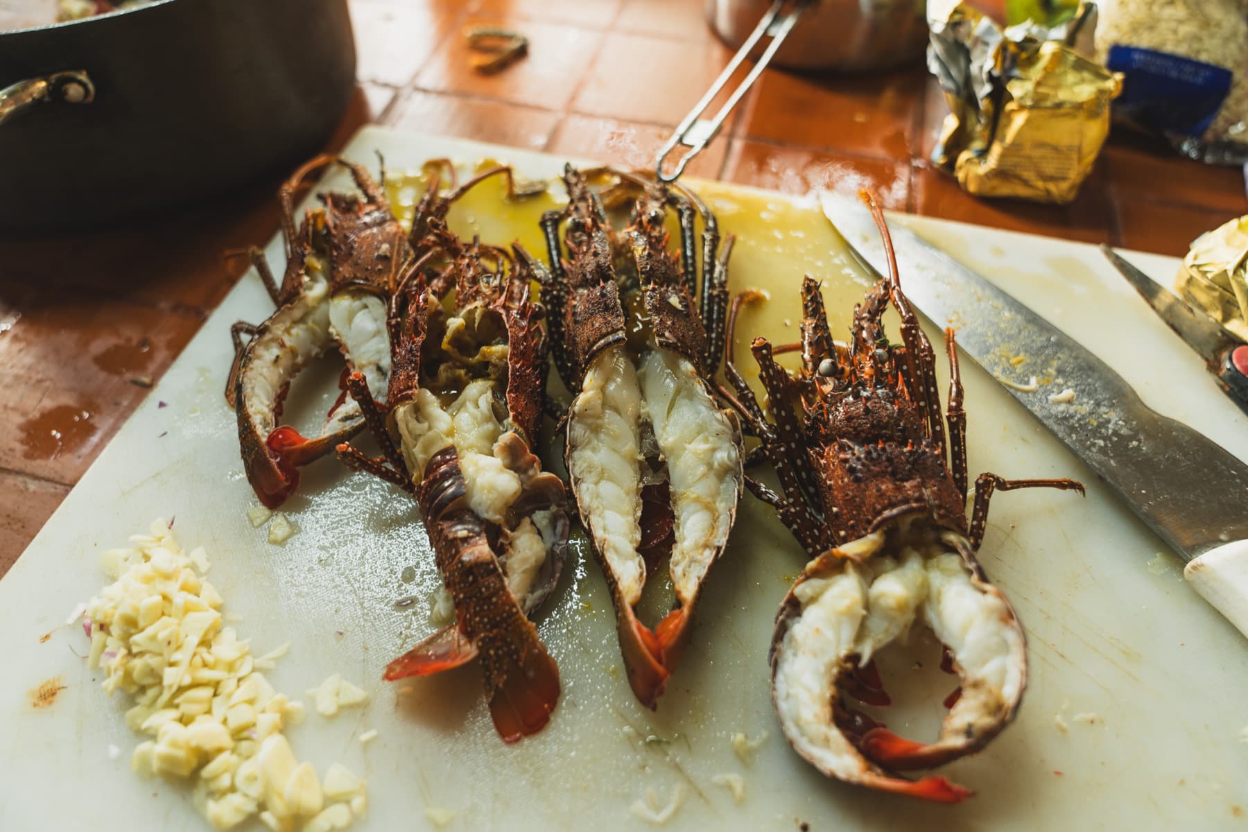
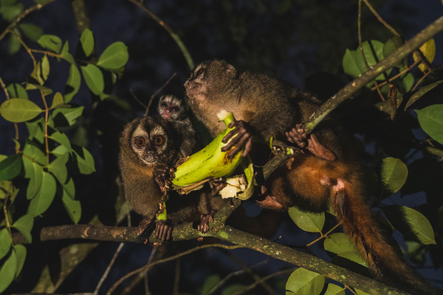
In short, a perfect evening.
From then on, we began making real progress towards Colombia.
We had a good weather window ahead of us and about 100 kilometres to cover in four days. We wanted to reach our longed-for “San Blas” as quickly as possible, or at least that was what we still called the archipelago of more than 300 idyllic islands stretching along Panama’s Caribbean coast.
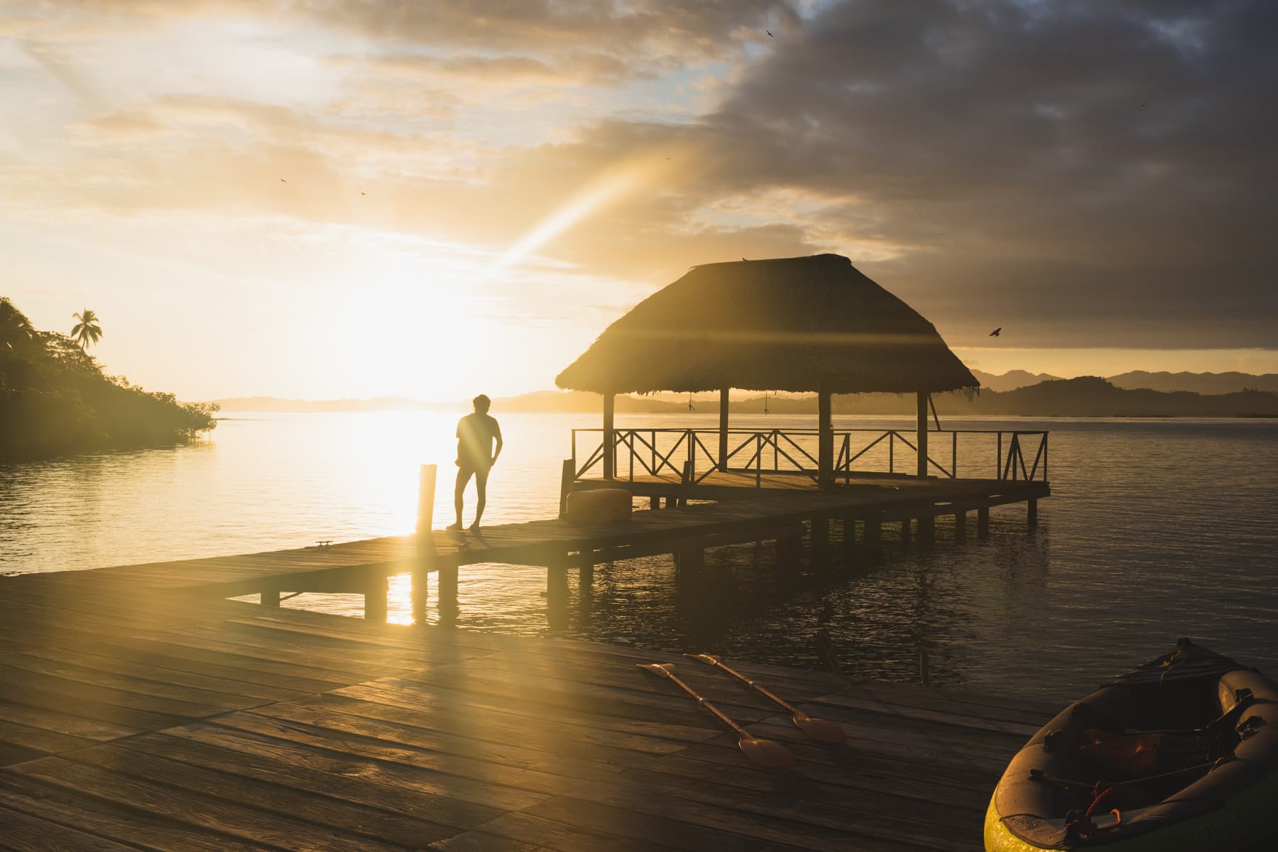
The plan was going surprisingly well.
After three days, we were only about 20 kilometres from the first islands.
That evening, while looking for somewhere to spend the night, we met several men on the coast. They turned out to be members of the Guna community, whose people had inhabited these lands long before modern Panama came into being.
They welcomed us very warmly.
They showed us a makeshift hut on a hill where we could hang our hammocks. Without it, the mosquitoes would probably have eaten us alive that night.
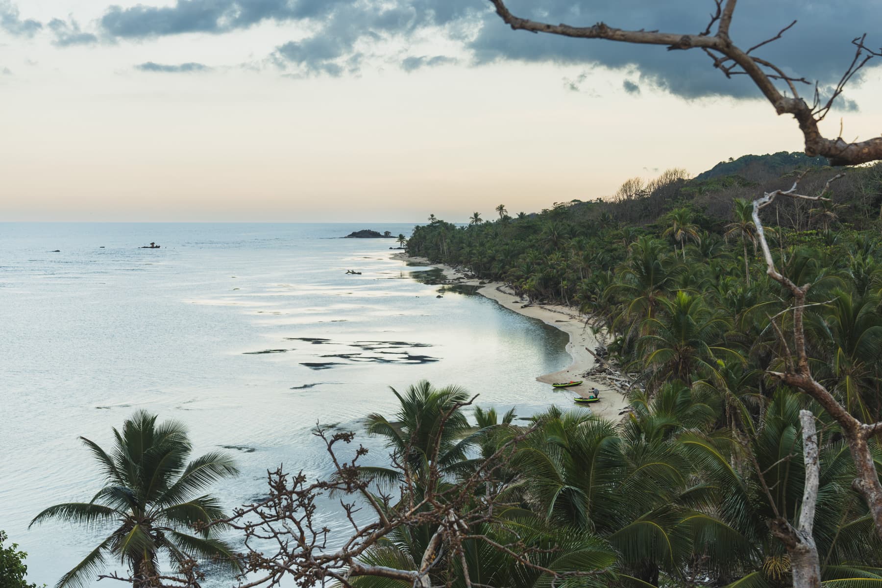
It turned out that we were on a fruit and vegetable plantation belonging to their community.
They normally lived on the island of Wichu-Wala, but they had a system under which a group of four or five men came to the mainland every week and worked on the farm for several days, living there in very basic field conditions. The produce they harvested then went to the island’s residents.
When darkness fell, they invited us to a dinner of rice and sardines they had caught earlier.
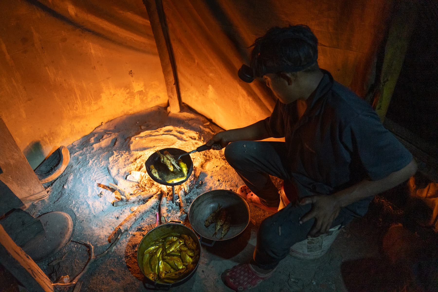
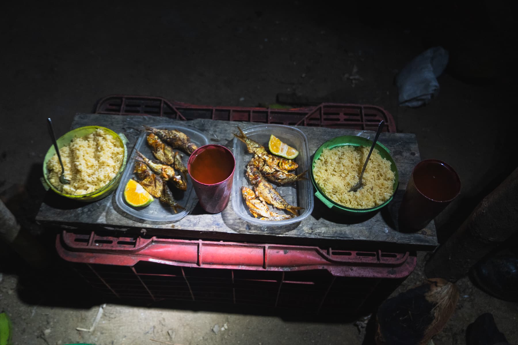
That was when we first had the chance to learn more about the history of Guna Yala.
Narcisio told us about his ancestors’ struggle against the Panamanian authorities, the Guna Revolution and how they had defended their culture, land and autonomy.
He also explained that they did not like the name “San Blas”. To them, these lands were Guna Yala.
Guna is the name of their people, and Yala means land.
We also discovered that our timing was almost perfect: the 99th anniversary of the Guna Revolution fell during this very period. Our hosts told us that, if we truly wanted to see their culture, it would have been difficult to choose a better moment.
After that conversation, I stopped using the name San Blas. Out of respect for the people who actually inhabit these lands, they became Guna Yala to me as well.
The next morning, we ate a breakfast of enormous lobsters and sea snails with Narcisio and his companions, then set out towards the first islands.
The conditions that day were almost perfect.
The sea was so calm and the water so clear that, sitting in our kayaks, we could see the coral reef five or seven metres below us.
At one point, we decided it would be a shame to spend the entire day in the kayaks.
We tied ourselves to our boats with ropes, put on our snorkelling masks and covered several kilometres of the route simply by swimming alongside the kayaks through crystal-clear water.
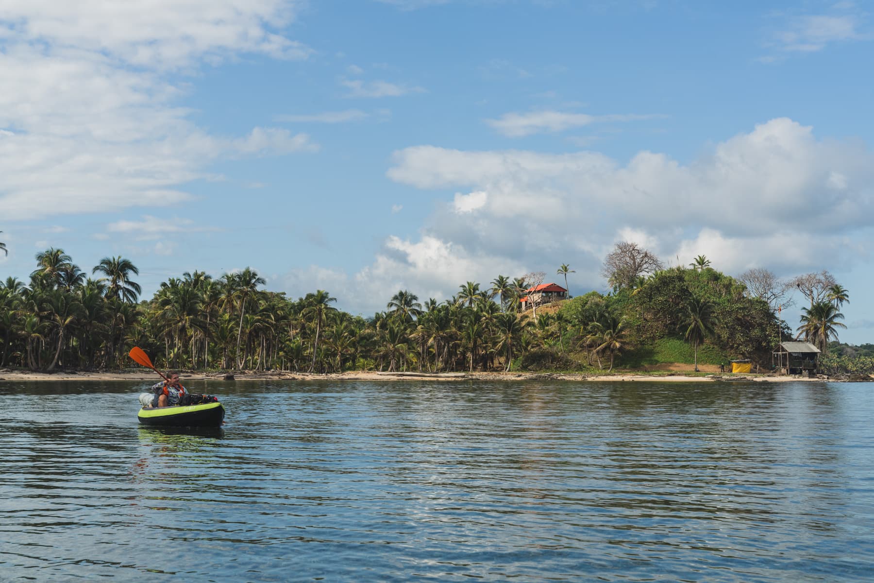

A few hours later, we reached Wichu-Wala.
It was an exceptionally small island, filled almost to the shore with simple houses. Most were built from natural materials, with only a few concrete buildings among them. One housed a small bar and shop.
As soon as the residents learnt that we knew Narcisio, everything became easier.
It turned out that he was an elder and one of the community’s leaders. People welcomed us very warmly, and they quickly found us a place with Tico, who let us hang our hammocks in front of his house.
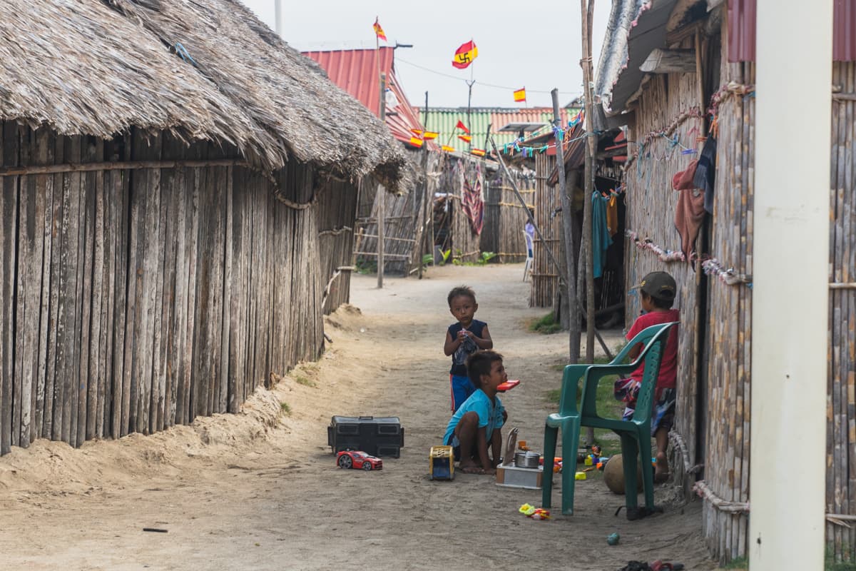
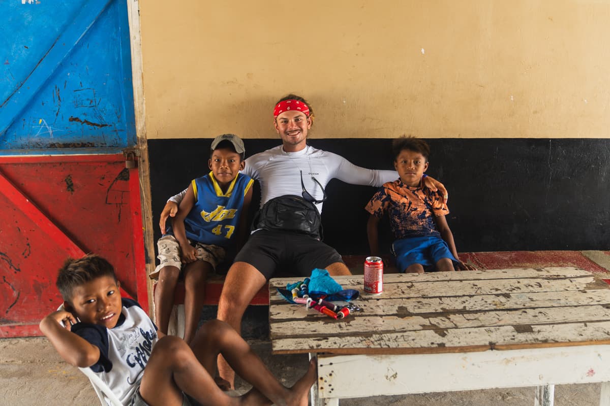
We knew that worse conditions were coming at sea, so we stayed there for two days.
When the weather improved a little, we moved on.
This time, the crossing took us over more open water and the waves were considerably larger. After a few hours, we reached one of the more touristy islands, a little piece of paradise with a restaurant, a beautiful beach and coconut palms.
We wanted to stay there for the night.
We soon learnt, however, that pitching a tent alone would cost us 50 dollars each.
We declined.
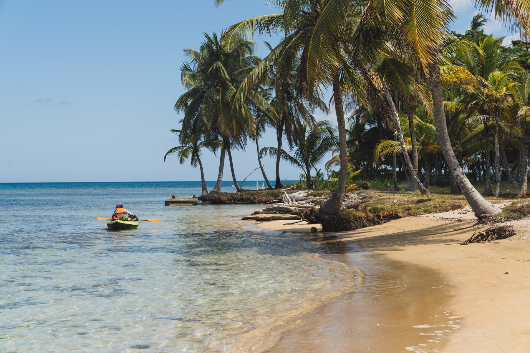
We climbed back into our kayaks and paddled to a neighbouring, completely deserted island, where we got exactly the same view for free.
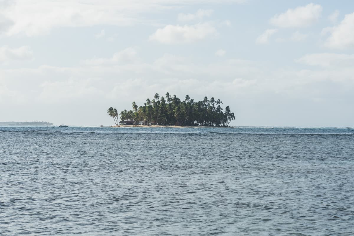
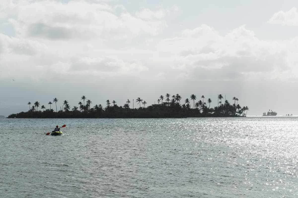
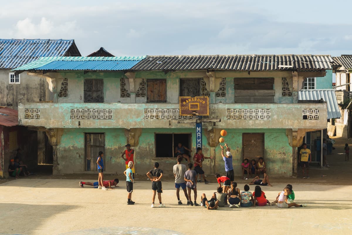
The next day, we reached another island, divided between two Guna communities, Mammardub and Umandi. The border ran more or less through its centre.
It was one of the islands where we had to pay a tourist tax to remain on its territory.
As quickly became clear, however, the tax covered only half of the island.
If we wanted to cross to the other side, we had to pay another one.
Marco welcomed us into his home, and everything looked great at first. It was only towards the end of our stay that he told us we also had to pay for the night.
We therefore left the island with rather mixed feelings.
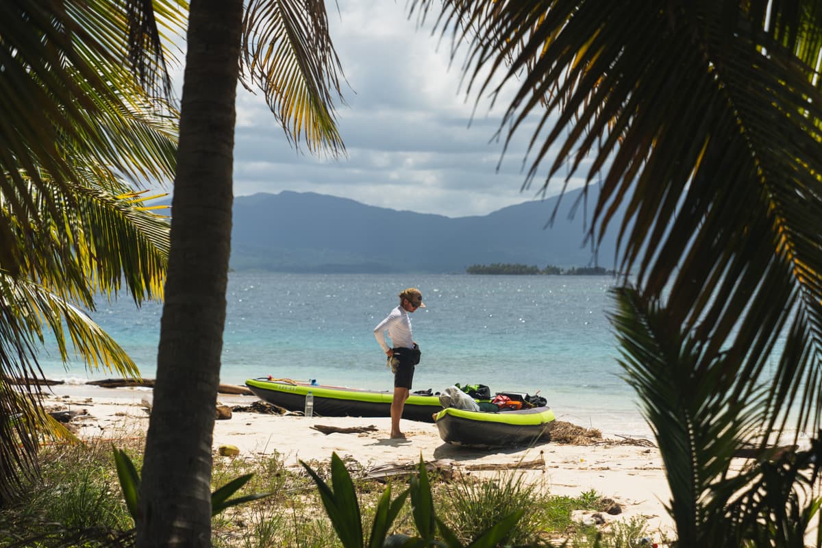
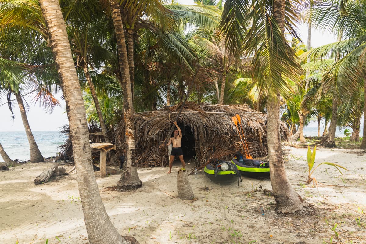
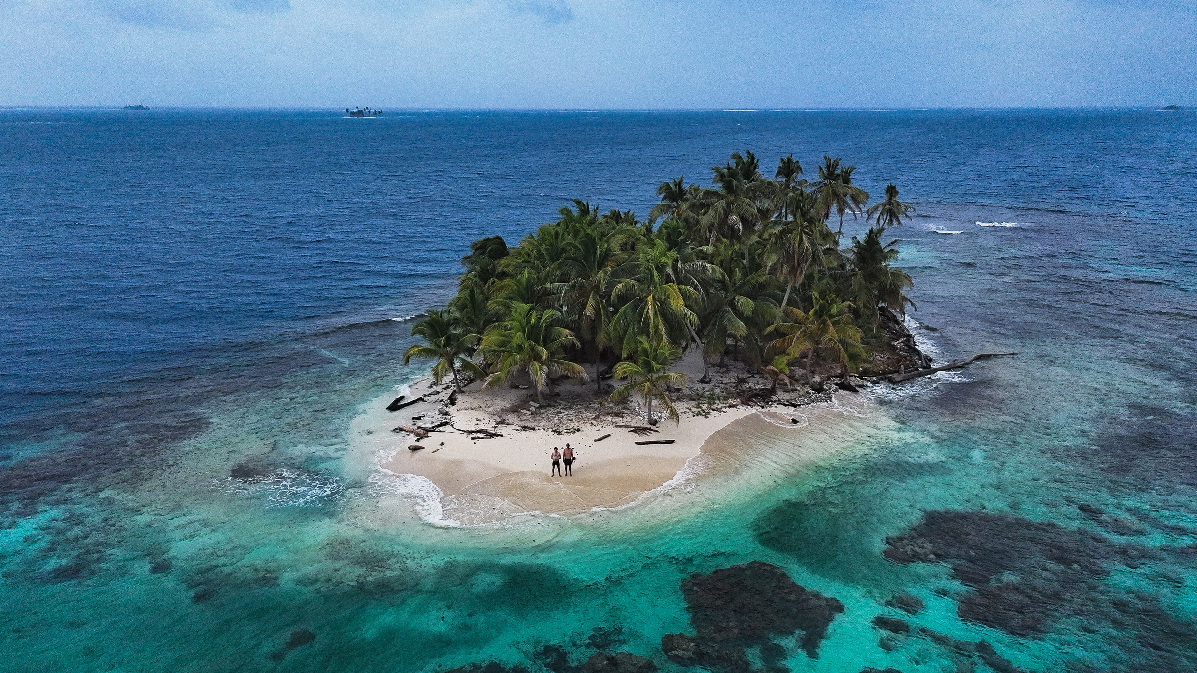
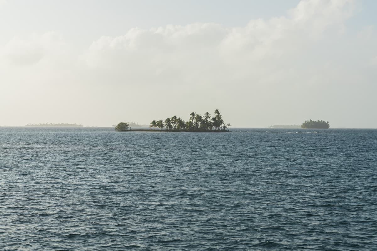
The following day, in strong wind and fairly unpleasant conditions, we reached a tiny, utterly idyllic island where nobody lived permanently.
The only sign of human presence was a simple shelter built from dried palm leaves.
For us, it was perfect.
We hung our hammocks beneath it and spent the night on what was probably the most beautiful island of the entire crossing.
The next morning, we set off again.
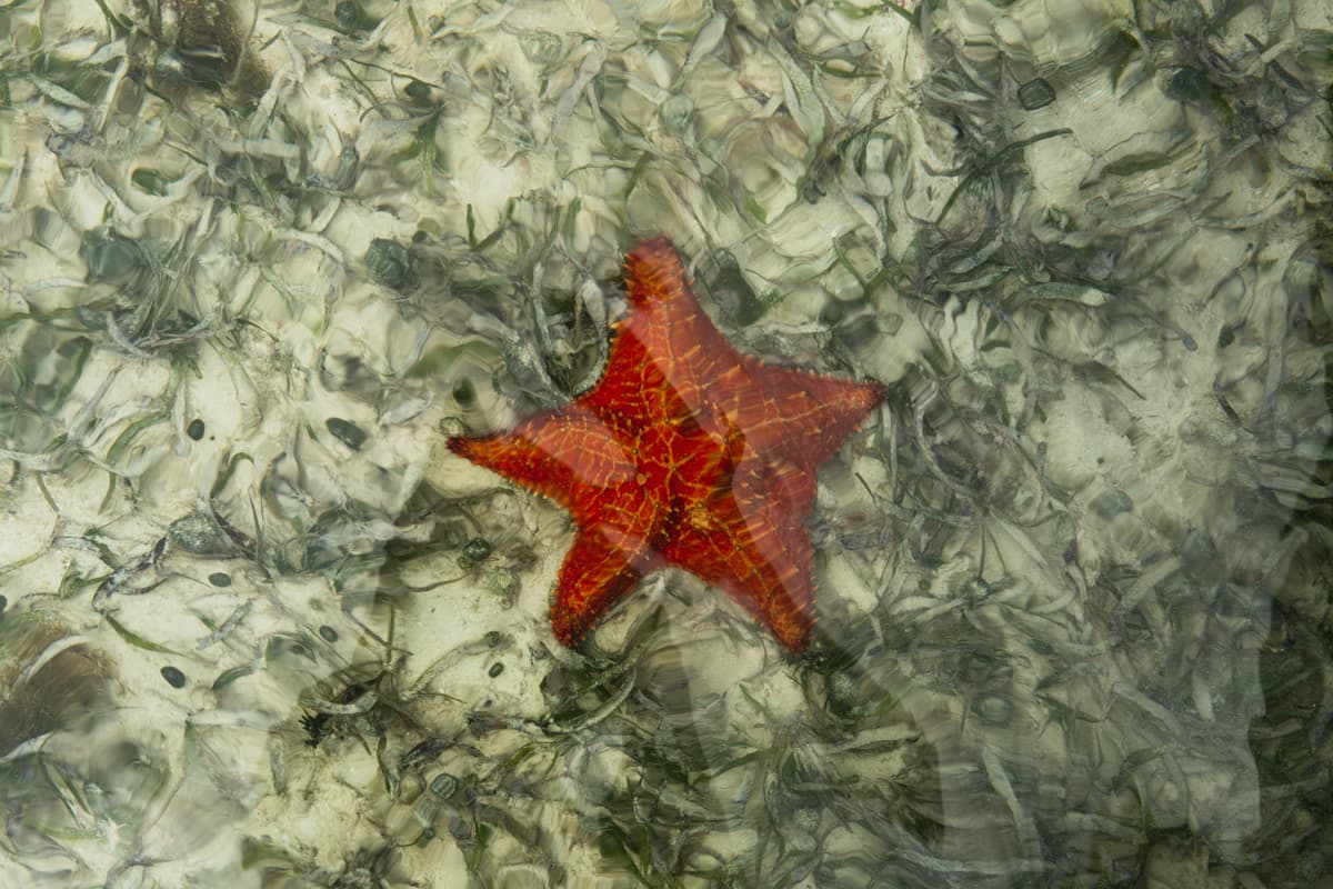
We paddled through incredibly clear water, passing one completely wild island after another. Something was constantly happening beneath us. That day, we saw several small sharks, enormous starfish and even a manta ray.
That evening, we reached Narganá, or rather two islands joined by a bridge.
They also belonged to two different communities, but this time there were no strange borders or further charges.
Narganá itself was very different from the places we had visited before. It was no longer a typical small Guna community. Guna, Afro-Latino and other Panamanian influences mixed on the island.
We happened to arrive during carnival and, that evening, even had the chance to join a small local parade.
The next day, we packed the kayaks once again.
Our next destination was Isla Diabla, called Ticantiki in the local language.
The sea was very rough that day and, for the first time, we had to paddle far out from the shore to avoid the breaking waves. It was chaotic enough that Zach and I completely lost sight of each other at one point. Fortunately, a few hours later, we met again on the island itself.
Ticantiki had a remarkable atmosphere. The people were very kind, and it was immediately clear that outsiders appeared there very rarely, if at all. The inhabited part of the island was connected by a bridge to a wild island nearby, something we had never seen anywhere else.
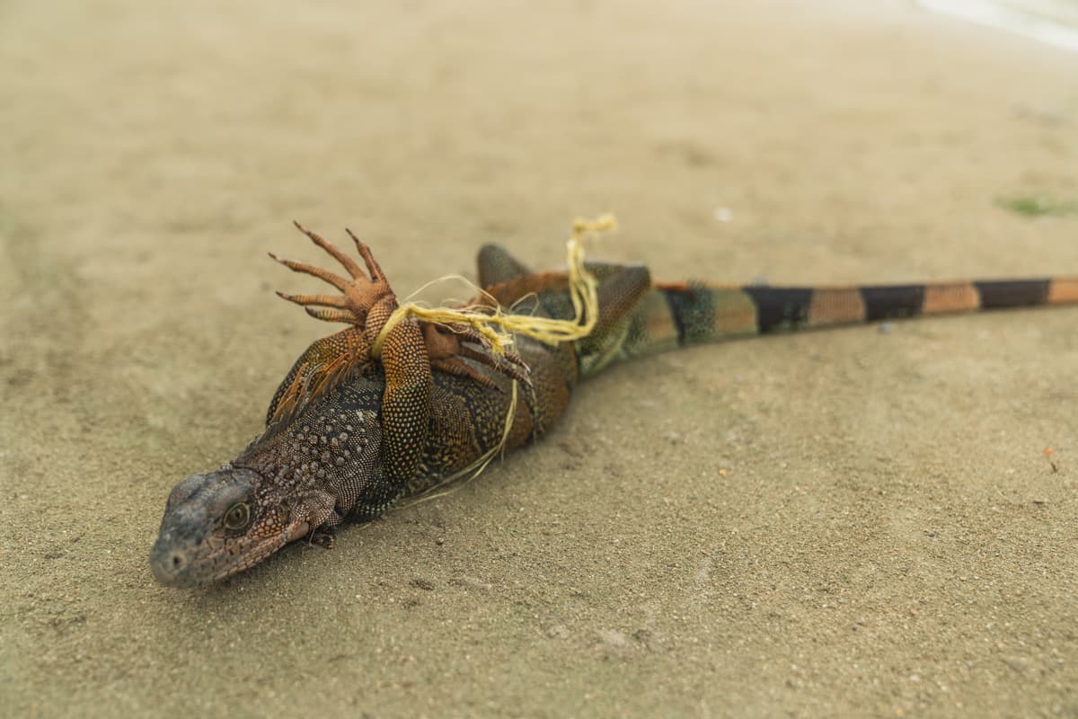
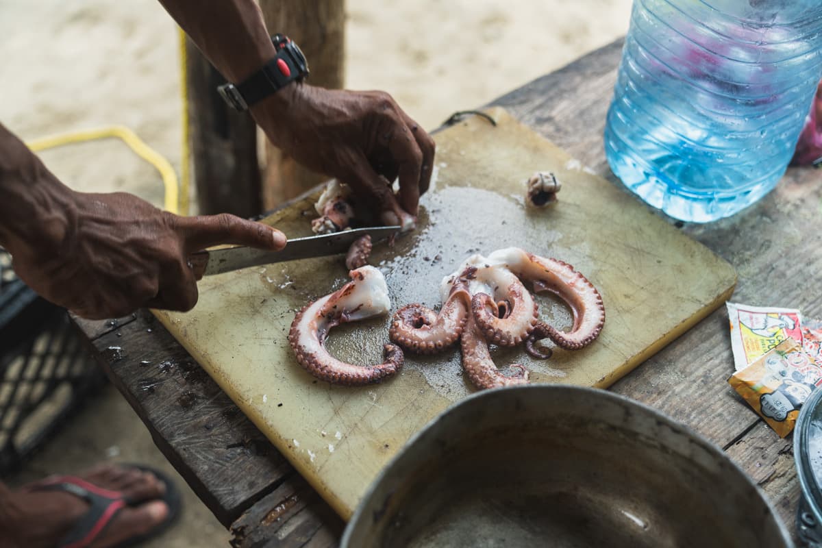
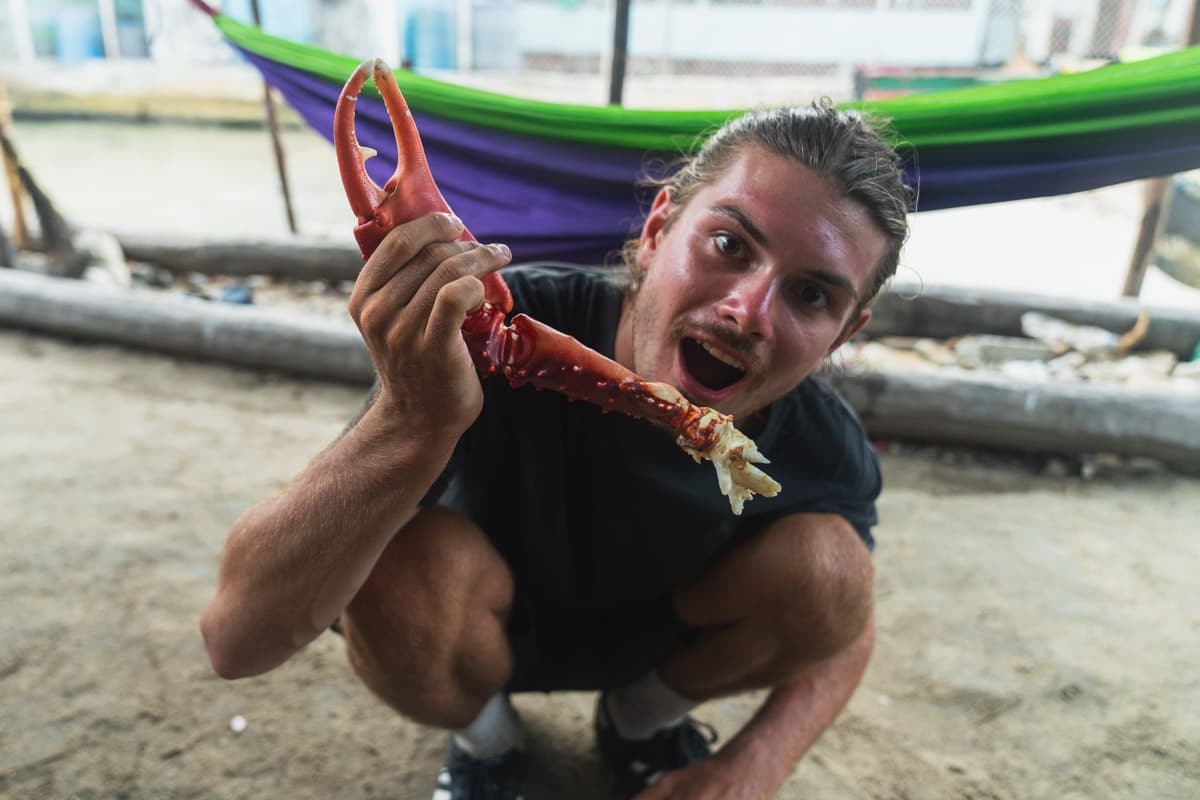
We spent several days there waiting out the bad conditions at sea, and by then it was easily our favourite island. We even had our own fisherman, from whom we bought inexpensive fresh lobsters, octopuses and crabs every day. Tarsi became our local guardian angel and helped us a great deal throughout our stay.
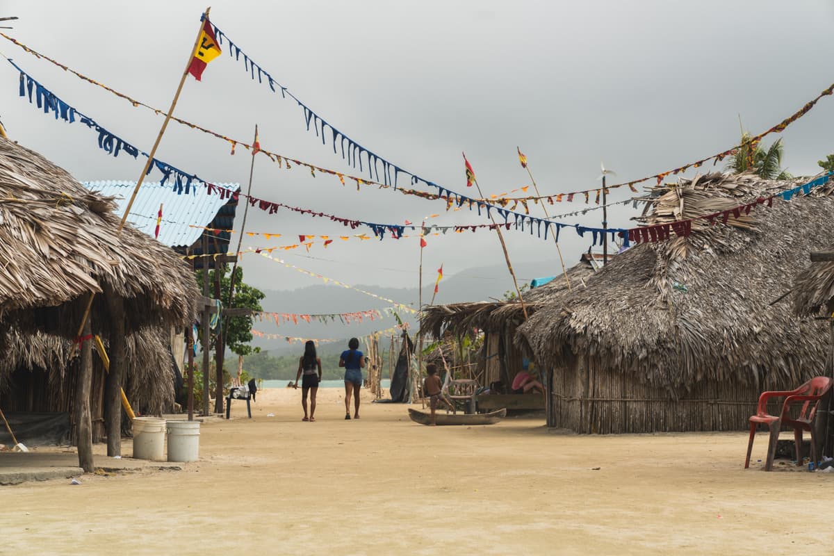
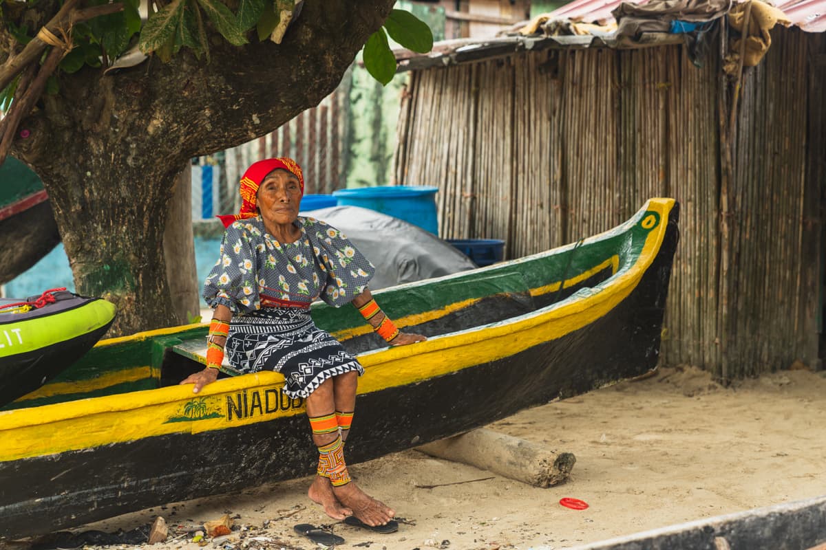
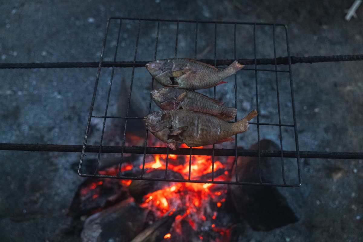
When the weather finally improved, we set ourselves an ambitious goal: to cover more than 35 kilometres and reach Playón Chico that same day. It would be our longest daily distance so far.
A few hours after setting out, however, I began to feel unwell, and we had to stop at the first village along the way.
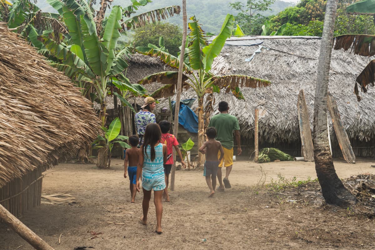
As soon as we reached the shore, curious children began running towards us from every direction, followed soon afterwards by older residents. One man told us that this was only the second time in his life he had seen white people. There was therefore a fairly good chance that we were the first for most of the children.
The village was called Airigandi, and it was genuinely charming. The residents showed us around. Many cacao trees grew there, and it turned out that they even made their own chocolate from them.
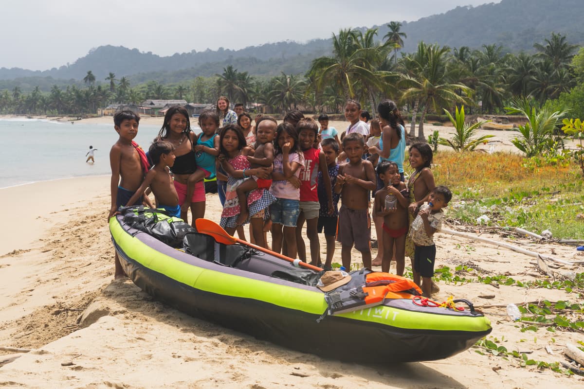
After a break of about an hour, I felt a little better. As the conditions at sea were still good, we decided to try to carry out our plan after all.
We reached Playón Chico shortly before sunset.
Loud celebrations were under way on the island, but we were definitely no longer in a party mood. I was completely exhausted and slightly irritated by the intense noise, which made it very difficult to fall asleep.
The following morning, however, we met a man whose story was certainly worth hearing.
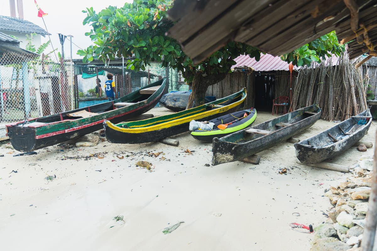
The man had made an extraordinary journey in his cayuco, a simple, traditional wooden boat used by the Guna. He had visited all of Guna Yala’s roughly 360 islands, spending one day on each.
Simple arithmetic: almost a year of travelling.
We were greatly impressed, so of course we asked which of all those islands was his favourite.
Without much hesitation, he replied:
Ailigandi.
Which was precisely our next destination.
After that conversation, we bought several freshly fried hojaldres and set off again.
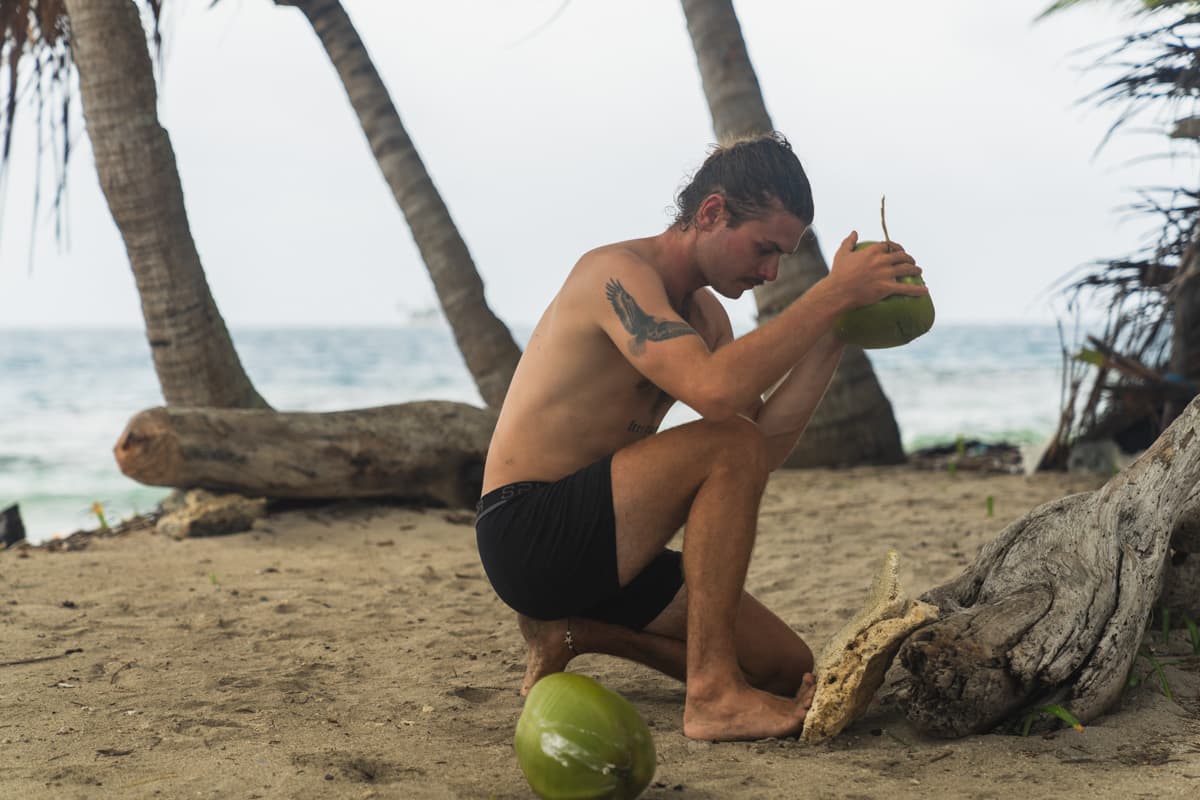
Along the way, we made what had become an almost customary stop on one of the beautiful wild islands. We drank the water from several coconuts, ate raw fish given to us by local fishermen and reached Ailigandi that evening.
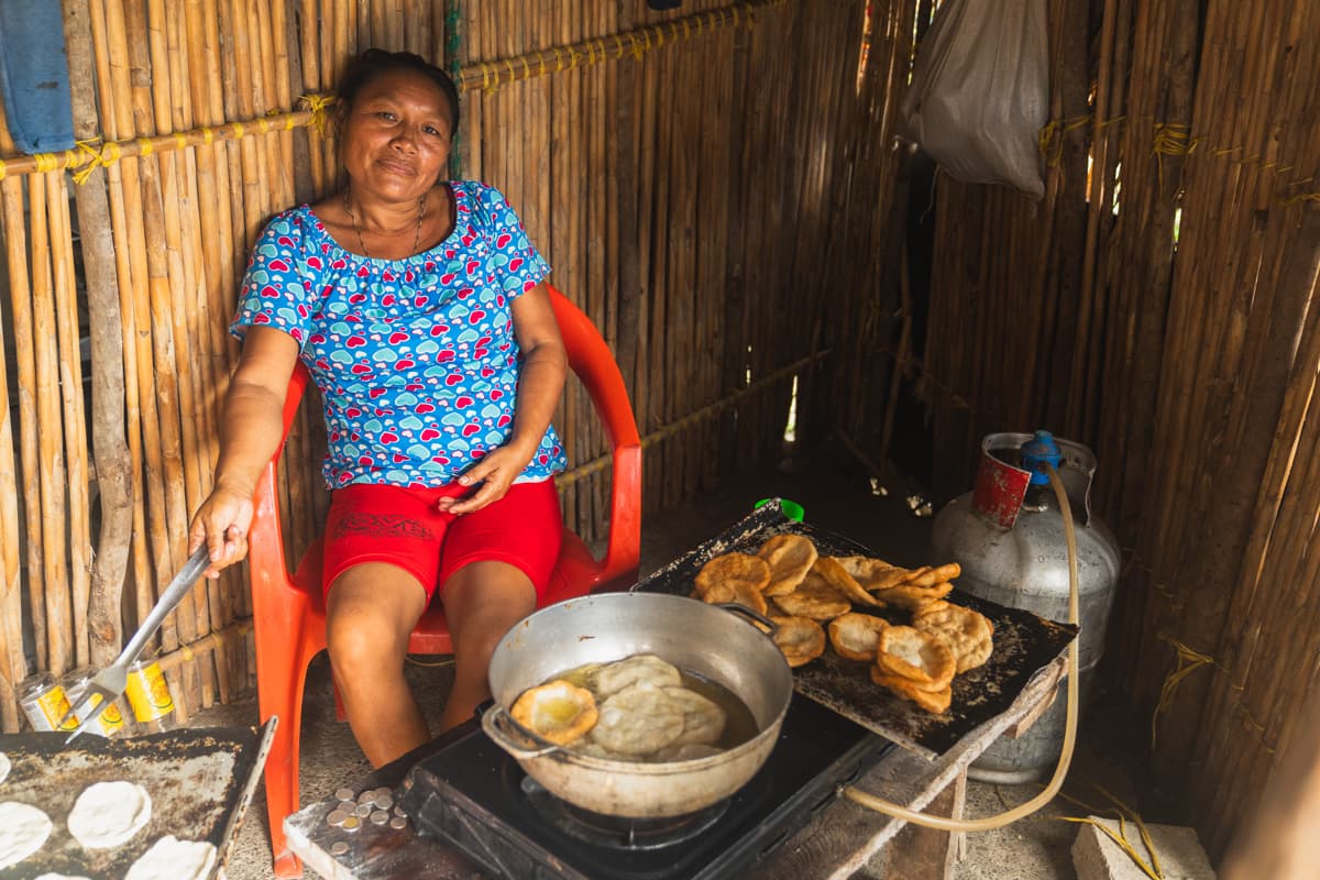
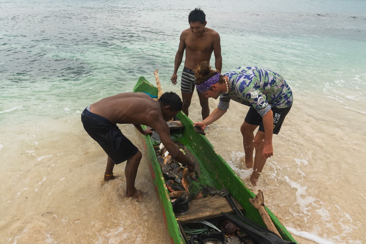
From the very beginning, we were welcomed there with extraordinary hospitality.
The island retained its traditional Guna character while also having considerably better infrastructure than most places we had visited before. It even had a restaurant, which was almost unheard of on these islands, as well as a large government and school building with a sizeable covered sports court.
That was where rehearsals of local dances and traditional flute music were taking place ahead of the approaching Revolution Day.
The owner of the restaurant, in whose entrance hall we were meant to sleep, took us to the local government building to ask officially whether we could stay.
After several rather awkward minutes, during which about twenty or thirty men simply sat and looked at us, we received permission.
There was one condition, however.
We absolutely had to stay for Revolution Day, which fell two days later.
We had other plans and a very good weather window for the road ahead, but when we learnt that the residents considered Ailigandi one of the most important places associated with the beginning of the Guna Revolution, the decision was effectively made.
We were staying.
All the more so because the atmosphere on the island was brilliant.
The celebrations began the day before. There were numerous events, games and sporting competitions. I even managed to win a race consisting of ten laps around the island.
The next day, at about four in the morning, the first singing began.
The 99th anniversary of the Guna Revolution had arrived.
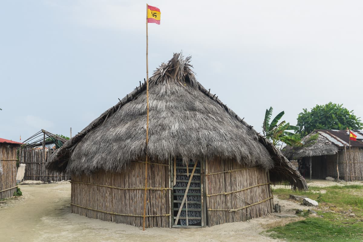
When we climbed out of our hammocks at about seven in the morning, practically the entire island had already gathered in the centre. Most residents were dressed in red, and red flags hung everywhere, bearing a distinctive symbol resembling a swastika. In Guna culture, it has its own historical meaning and is connected, among other things, with their struggle for autonomy.
Everything began with the anthem, after which the residents staged a re-enactment of events connected with the revolution.
After the symbolic sinking of a Panamanian ship, it was time for the celebration proper.
Singing, we walked through the streets of the entire island until we finally reached the port. There, some of the men began pulling out bottles of rum that had been hidden earlier and encouraging us to raise one toast after another.
It would have been rude to refuse.
A moment later, we were invited into the Casa de Congreso, a place that, as outsiders, we would probably never normally have been allowed to enter.
It was there that we learnt we would be drinking a traditional alcohol made by the Guna community, called chicha fuerte. Among other ingredients, the drink is made from maize and sugar cane, and its preparation and fermentation form part of local tradition.
The drinking itself also had its own ritual.
The men formed two groups. One person took a bowl of the drink from the server, then carried it in a distinctive half-walk, half-run to someone standing on the other side. Next, you had to make a circuit with it while trying not to spill the contents, and only then could you drink.
We were told that this was the first time outsiders had taken part in the ceremony with them.
We were therefore an absolute sensation.
Unfortunately, that also meant that practically no round of drinking passed us by.
When the main vessels were empty, several more men appeared with their own chicha brought in plastic containers.
By about four in the afternoon, a large part of the group was already rather worse for wear and slowly heading home, or simply lying down in the first convenient patch of shade.
We, meanwhile, were invited to the home of a man named Sueño.
He put a bottle of Abuelo rum on the table.
I do not remember the rest of the day with any particular precision.
We woke at sunset in our hammocks.
How we got back to them, we had no idea.
The next morning, we had a very favourable wind that could help us considerably on the next part of the route. Despite being in less than impressive shape after the previous day, we therefore decided to set out.
That same evening, we reached Ustupu, the largest of the inhabited Guna islands.
Interestingly, the people of Ustupu gave us a completely different version of how the revolution had begun. According to them, it all started there, through the actions of three men from Ustupu.
We were slightly confused.
After my fantastic experiences in Ailigandi, however, I had no intention of changing my version of the story.
From Ustupu, stopping several times along the way, we reached Isla Pino, one of the few islands in the region that was not completely flat. A hill about sixty metres high rose at its centre.
We found a suitable beach where we could hang our hammocks, but the mosquitoes efficiently drained what little energy we had left.
At one point, we saw a small hut over the water, reached by a wooden jetty, and two men who were just preparing to leave.
We asked whether we could sleep inside, hoping above all for some kind of shelter from the mosquitoes.
For five dollars, they left the hut open for us and, as a parting gift, added a pot of rice.
The deal of a lifetime.
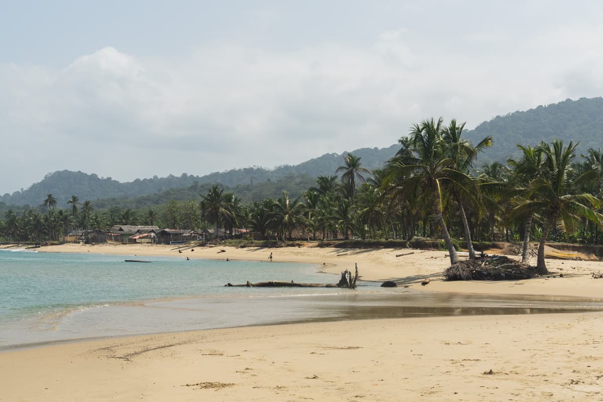
The following day, we set out towards Coreto, one of the few villages already situated on the mainland coast.
We were slowly leaving the reef-protected waters of Guna Yala, and the sea was becoming increasingly chaotic. We had several situations along the way that were far from pleasant, but eventually reached the village safely.
There, we saw something completely different from anything we had seen over the previous weeks.
Hundreds of tents.
It was our first and only encounter with migrants crossing the Darién Gap overland.
The group we met consisted mainly of people from China. From conversations there, we learnt that some had paid vast sums to intermediaries arranging the next stage of their illegal journey towards the United States.
When we woke the next morning, practically no trace of the entire camp remained.
There was, however, a wrecked boat on the shore.
We heard that only a few days earlier, six migrants had died on it during bad conditions at sea.
It was one of those moments that very quickly reminded us how serious the sea could be, the same sea we had been crossing for weeks in our small inflatable kayaks.
We continued towards the final settlement before the Colombian border.
To shorten the route, we once again had to paddle far from shore. The conditions were difficult and, at one point, Zach and I lost sight of each other again.
We did not meet again until we arrived.
Both of us were completely exhausted and also rather surprised by what we saw.
It was as if we had suddenly returned to Panama.
Soldiers with Panamanian flags on their uniforms greeted us and quickly checked our identities. A moment later, we saw the first car we had seen in about a month.
After weeks spent on islands, the mere sight of a vehicle felt strangely unnatural.
We hung our hammocks on the beach near the port and went to sleep.
The next morning, we went to collect the stamps officially authorising us to leave Panama.
Then only one thing remained.
The final ten kilometres.
We pulled the kayaks into the water.
The conditions were dreadful. The waves were enormous and the sea completely churned up, but after everything that had happened over the previous weeks, there was no chance we were going to turn back ten kilometres before the end.
After several hours of fighting, we crossed the border.
We were in Colombia.
More precisely, for the first time on this journey, we were now in South America.
The entire crossing took us about 40 days.
We covered about 420 kilometres by kayak.
Mission accomplished.